Muirkirk - Thursday 8th October 2026
Biggar Ramblers’ Walk to discover the industrial archaeological past of Muirkirk
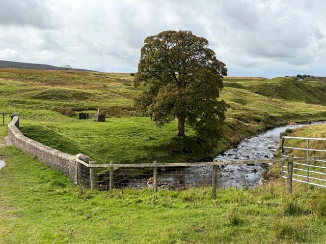
The Walkers’ car park at Kames was the start point for 7 members of Biggar Ramblers on a dry but chilly day. The first half of the walk took in the remnants of the mining industry which was expanding in the late 18th century. There are still the raised ridges which carried the coal laden trolleys down to the short canal which helped transport coal and other minerals to other sites near and far. The canal became redundant when the railway was built in the 1840s. The route took us along both the old canal tow path and the old railway line.
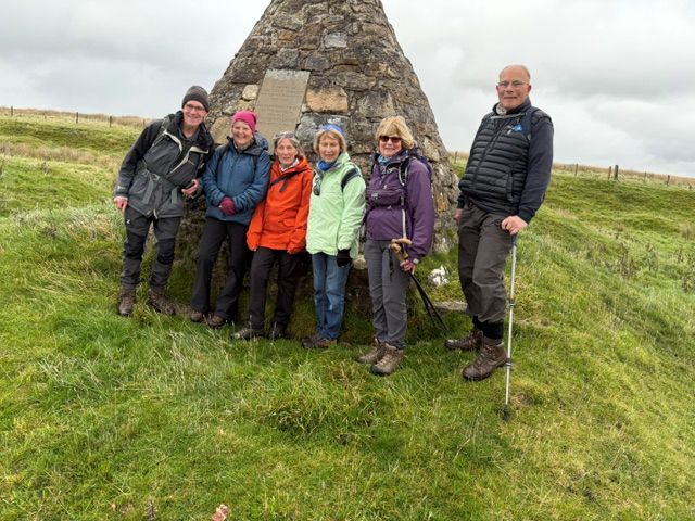
The second half of the walk concentrated on the work of John Louden McAdam, known as ‘Tar’ Macadam. He built 34 Tar Kilns at Muirkirk fed by coal extracted from the Bell Pit mines on ground close by. There is plenty of evidence of these mines in the area, along with the foundation stones of some of the miners’ homes. After admiring the cairn in memory of ‘Tar’ Macadam, the group headed down to Tibbie’s Brig, where lunch was taken. A local poetess, Tibbie Pagan, lived by the bridge, where a monument to her now stands. As we concluded our lunch, the wind began to get up. It was threatening rain also so we retraced our steps to end our walk at the sorry sight of the former Miners’ Institute, which has become increasingly derelict over time.

Coldstream & Hirsel Park - Tuesday 29th September 2026
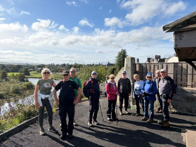
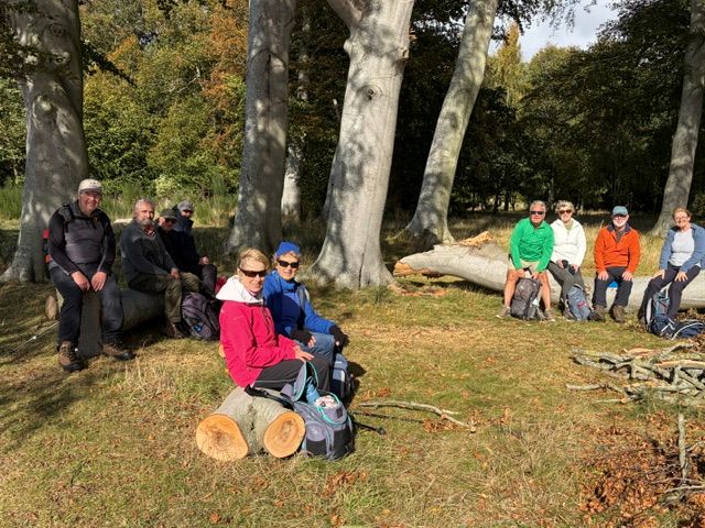
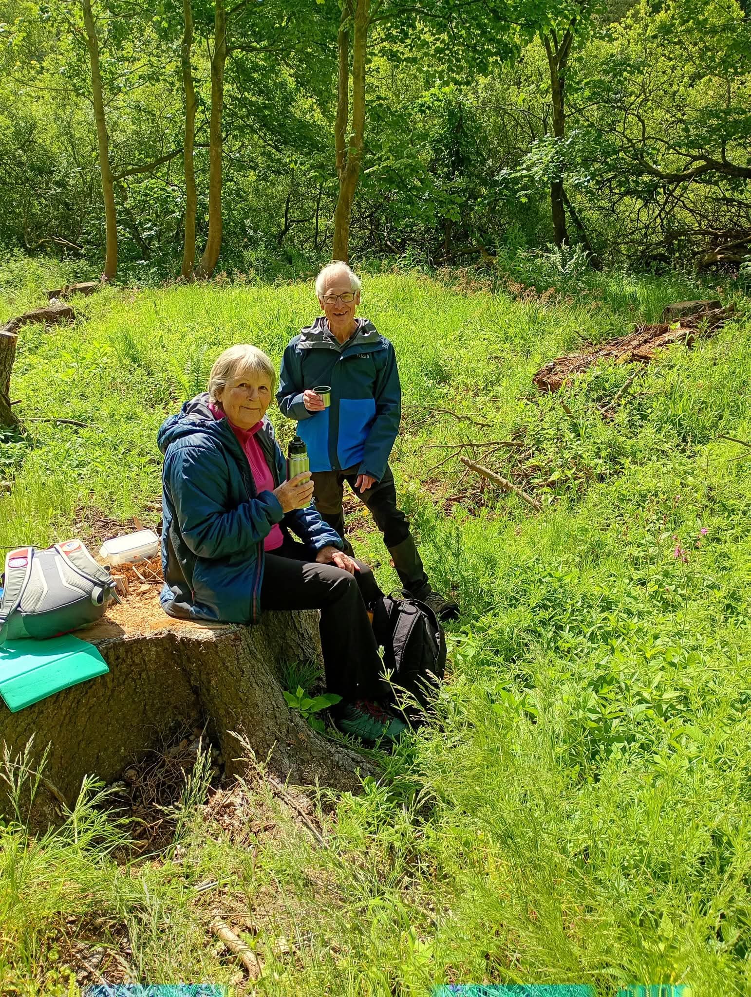
Eleven members of the group travelled the 72 miles to Coldstream. The weather was mild and we had sunny periods all the way through the walk, albeit with a stiff breeze coming off the river Tweed. Leaving the Hirsel Park café, we set off through the park woods before crossing the A697 to take the track down to the banks of the river Tweed. Several fishermen were on the banks or in the river or on boats casting their flies onto the water. Having passed Lees House, we found some recently felt tree trunks, a very convenient place to sit and enjoy coffee overlooking the river in both directions.
The path took a short loop into the edge of the town over the Leet water bridge from where we took the steps down to head towards the Tweed again before reaching a Memorial column. We safely negotiated the Riverside path and its steep edges down to the water’s edge. From our elevated position we sat on the wall and enjoyed our picnic lunch, once again overlooking the river in all its glory.
Time to move on, we headed towards the road Bridge across the river, built in 1763, and walked underneath the bank side arch before heading up into woods again. From the woods we meandered through a modern housing estate before entering the Parkland once again. Following the Leet Water through the park, we came to a point where there was an option to cut short the walk which a few of the group took advantage of. The remainder continued along the side of the burn on the edge of the wood from where we got a magnificent view of Hirsel House, the residence of the Douglas Home family. Passing the impressive estate stables and mews, we headed down back to the car park just before the rain took hold.
This was new territory for the Ramblers, to which we will surely return again in the future.


Fife Pilgrim Way - Dunfermline to Culross - Saturday 26th September 2026

Six Biggar ramblers board the 8A bus at Culross to travel to the start of their walk at Dunfermline. The delay caused by a road traffic incident is sufficient to divert them, after alighting from the bus, from Dunfermline Abbey to the Peacock Rooms café in Pittencrieff Park, for welcome refreshment before the walk even started!
The first leg takes us out of Pittencrieff Park and onto the lush agricultural land of Fife, where a lone buzzard saunters on the stiff breeze. A sharp turn takes us downhill and provides a distant view of the Forth Bridge in the haze. At the village of Crossford, where the magnificent monkey puzzle trees catch our attention, the path enters a strip of woodland that takes us to the busy A994. We quickly escape down a quiet lane, presenting an abundance of ripe apples for an autumnal snack to those brave enough to scrump. The manicured grass of a housing estate takes us out into open arable land for a short distance. Following the West Fife Woodland Path provides a mid-walk stopping point for lunch, albeit accompanied by the smoke from burning tree cuttings.
Soon we join the Fife Coastal Path to be greeted at Torry Bay by high tide. The coastal view is disrupted for a while by the very well-fenced ash lagoons created by the Longannet Power Station. Fortunately, some land reclaimed by the ash is accessible and is a managed wildlife area.
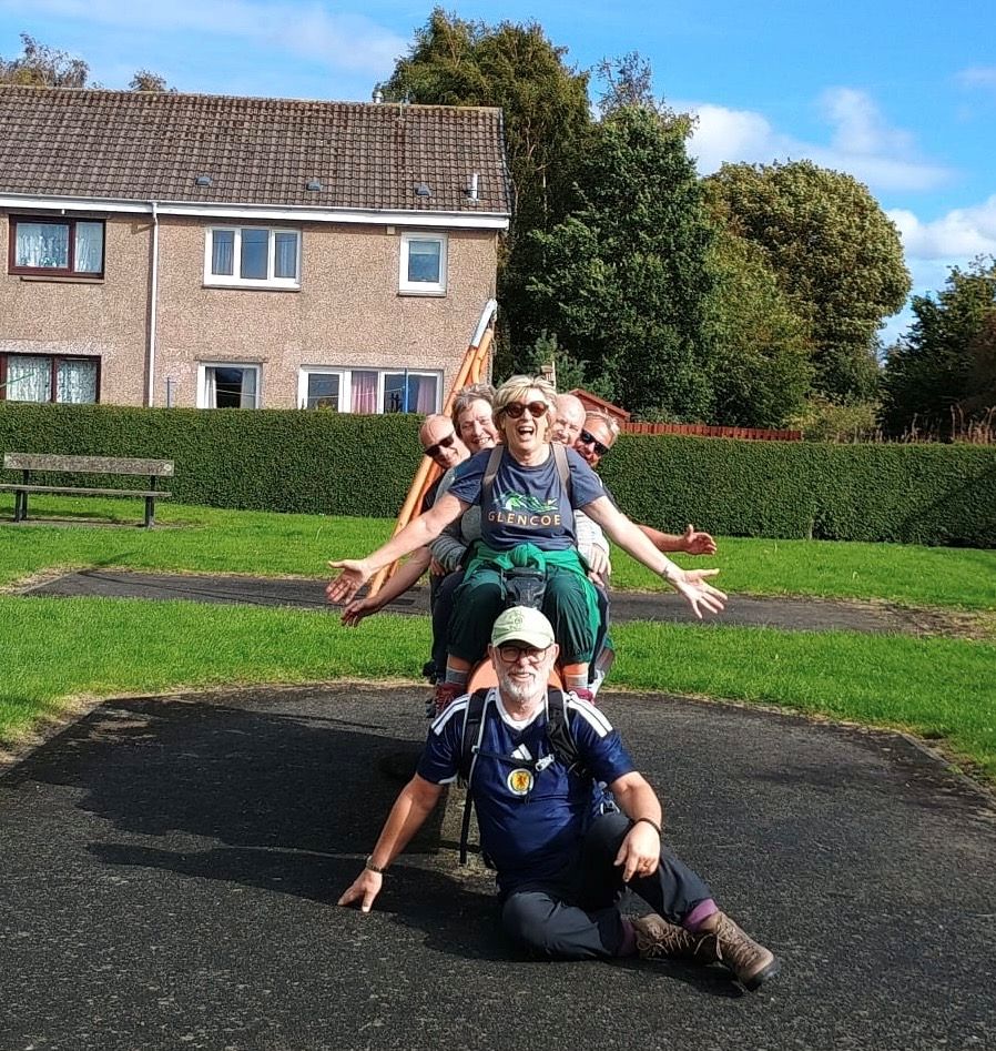
The final leg is directly on the sea wall with the sea just a few feet away. The wind is brisk and the sea is choppy. Along the way, a small beach has formed and we can’t resist stepping onto the sand for a photo op.
It’s an exhilarating way to finish a walk of many parts: rural and urban; smoke and a car crash; agriculture and old industry; open skies and woods.

Kirk Road and Loganlea Walk - Thursday 17 September 2026
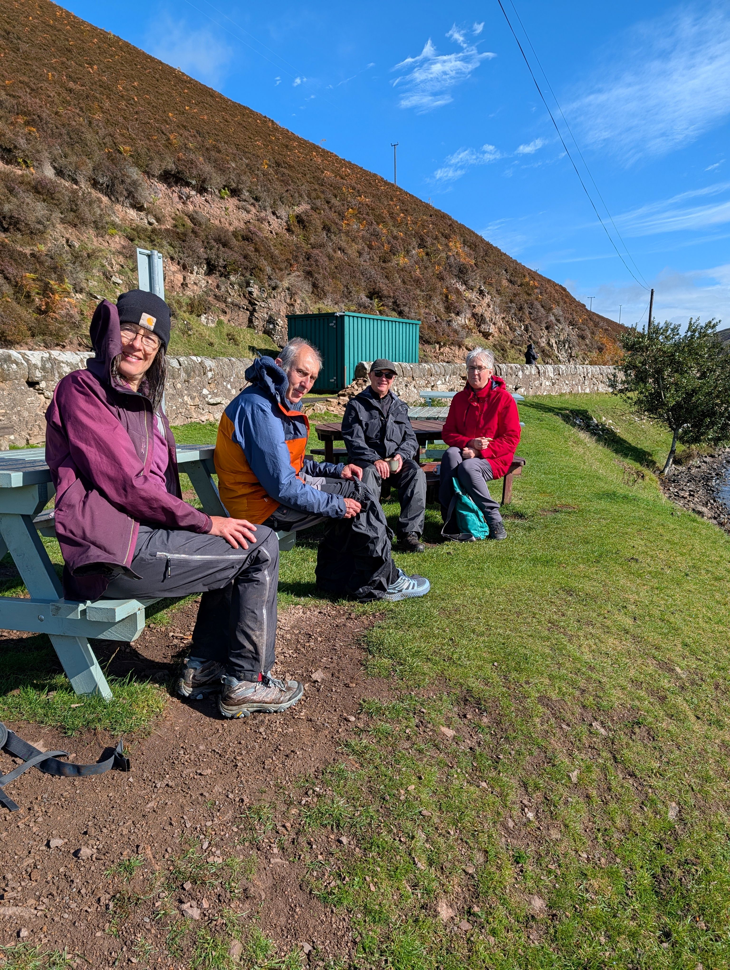
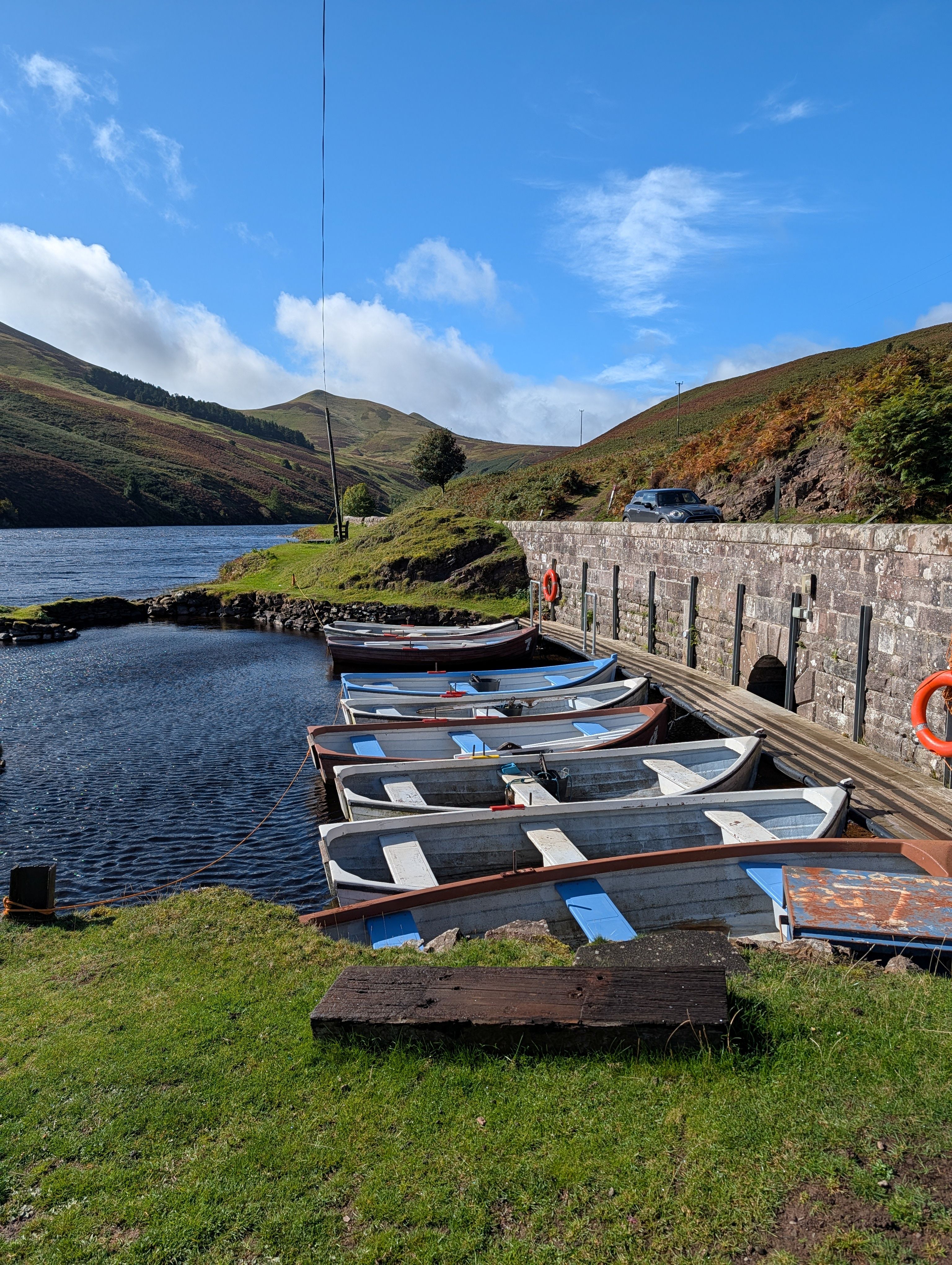
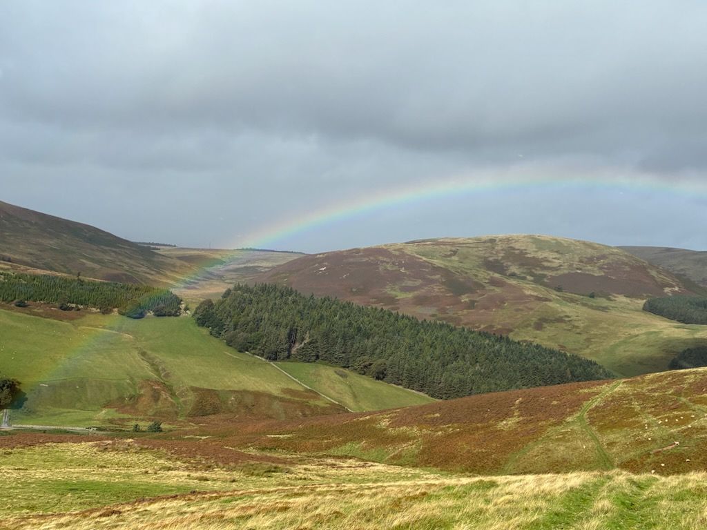
On a rather blustery autumn morning, five members of Biggar Ramblers set out to walk up the Kirk Road into the Pentland Hills. It was interesting to learn that the Kirk Road was used in the 19th century for residents to cross the Pentlands to attend church services in Penicuik. After a short section across grass and gorse, the path soon started to climb steeply to a col between Scald Law and Carnethy Hill and then down to the Logan Burn just above Loganlea Reservoir. The group now left the Kirk Road and started to walk beside the reservoir, stopping for a coffee break at the Fisherman's Cafe. Suitably refreshed, the group continued down the road past the end of the reservoir, eventually turning back uphill towards the col between Carnethy Hill and Turnhouse Hill. Looking back during the climb, the Queensferry Crossing could be seen under a rainbow; after some heavy showers, a pleasant sight. A sheltered spot just beyond the col was found for lunch before taking the final descent round the side of Carnethy Hill and back down to the start of the walk and the cars parked in the layby on the A702.
Tinto Hill - Sunday 13th September 2026

On Sunday 13th September a group of 5 Biggar Ramblers completed a strenuous 7 mile circular walk around the iconic local landmark, Tinto Hill.
We started from the main car park at Fallburn and climbed the well-used path to the summit cairn. (with a number of stops to appreciate the splendid views and catch our breath!) Instead of descending by the same route, we branched off along a good path to the nearby Scaut Hill where we had lunch at a much quieter summit. From there we continued our decent towards Symington on the path before turning off-piste through heather and bracken to reach farm and sheep tracks that took us back to rejoin the main path and our start point. An enjoyable excursion on a bright breezy day.
Whiteadder Reservoir and Priestlaw Hill - Saturday 22 August 2026
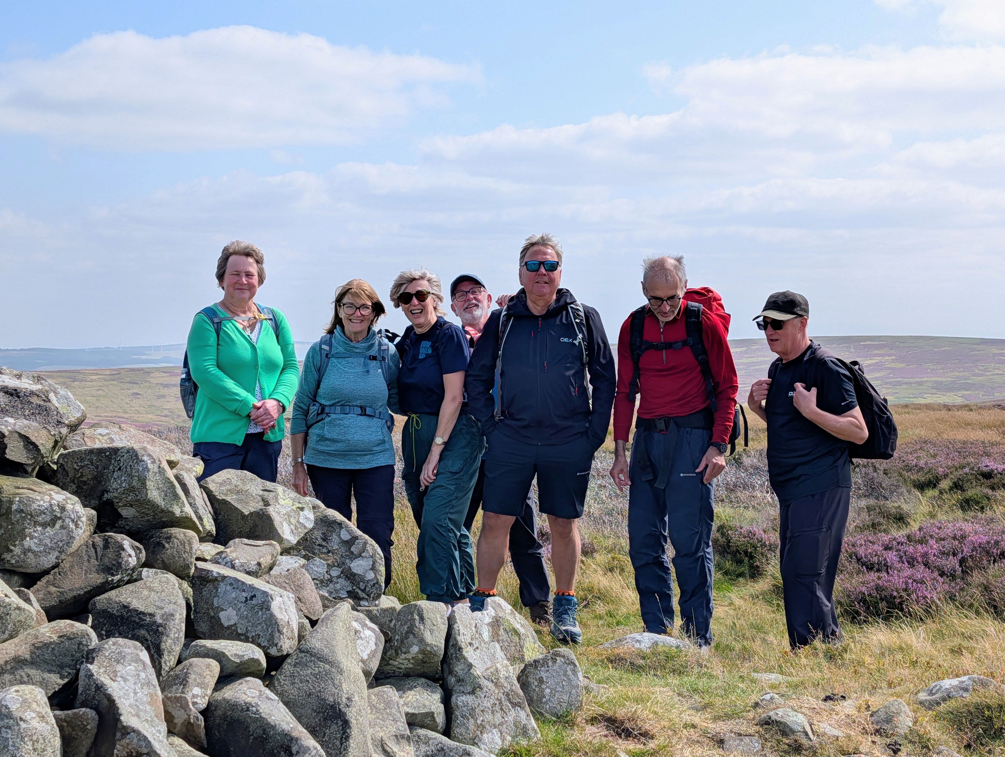
On a fresh but bright morning, eight members of Biggar Ramblers met up to explore the quiet Lammermuir Hills south of Whiteadder Reservoir. The walk started by following a section of the old Herring Road once used by fishwives carrying their creels from Dunbar to market in Lauder. Passing the reservoir, constructed in the late 1960s to supply water to the towns of East Lothian and Cockenzie Power Station, it could be seen that the water level was exceptionally low, no doubt mainly due to the dry summer that we have experienced. The route now took the group over open moorland covered in a thick carpet of flowering heather, lit up by the bright sunshine, with views back to the reservoir and Spartleton Hill on the other side of the valley. A coffee break was taken on reaching Faseny Water, an attractive babbling brook.
The next section of the walk was along a quiet lane where we came across grouse beaters driving the grouse towards the butts, ready for an afternoon shoot. An interesting conversation was had with the keeper and it was interesting to see that a drone was being used to monitor progress. Leaving the lane, a track was followed, heading back towards the reservoir. Half way along, the group made the short ascent to the top of Priestlaw Hill from where there were fine views in all directions. Back down from Priestlaw Hill, the group followed the track down to the reservoir, eventually meeting up with the outward route, and thus back to the start of the walk. A new area for Biggar Ramblers, this had been a most enjoyable 7 mile walk.

Water of Leith Part 1 - Saturday 15th August 2026
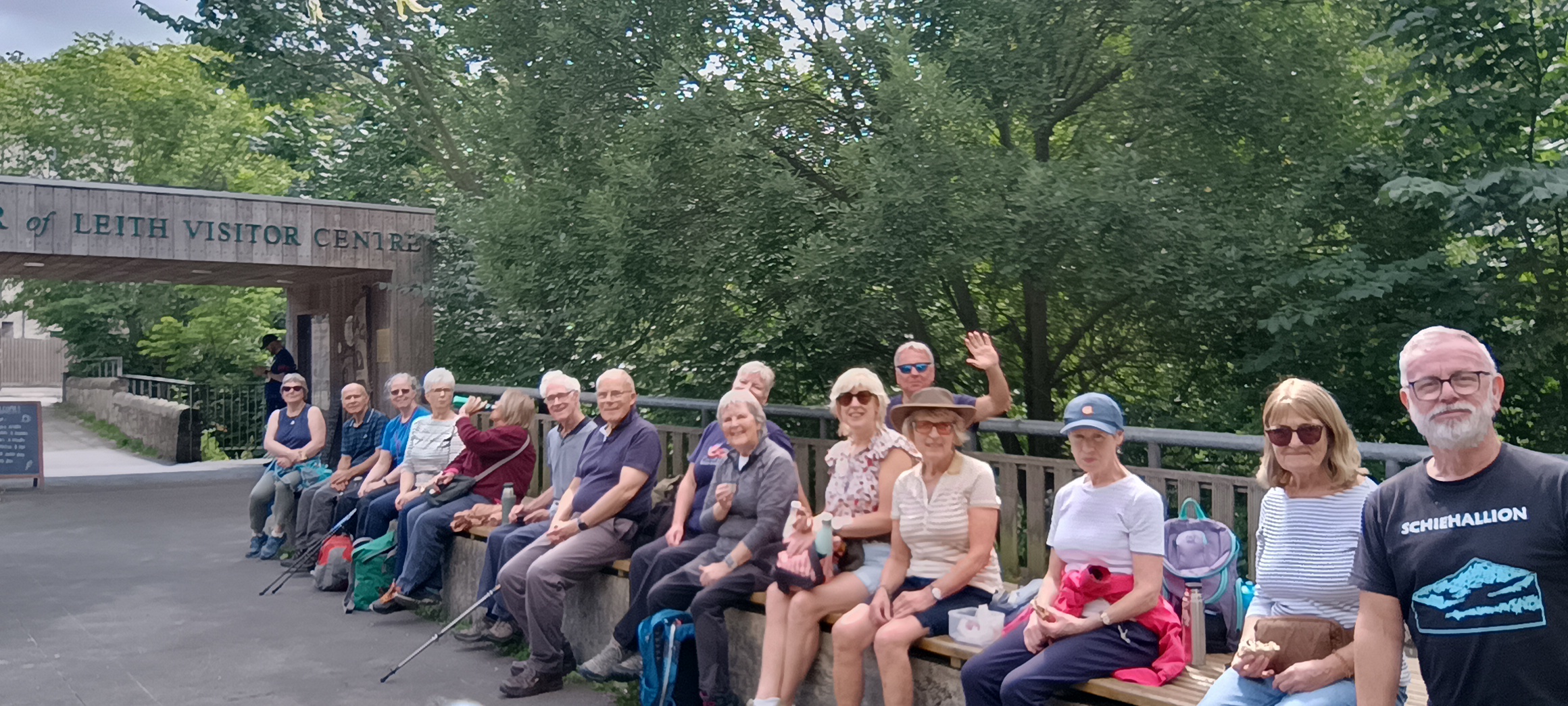
Fifteen walkers from Biggar Ramblers enjoyed a cloudy but warm ramble along the pretty Water of Leith walkway. We walked from Balerno village down through the woods onto a newly laid tarmac path which followed the Water of Leith as it meandered through Currie, Juniper Green and Colinton before completing our walk crossing the aqueduct at Slateford. We then enjoyed our picnic lunch at the Water of Leith visitor centre before catching the bus back to Balerno to pick up our cars.
East Lomond and West Lomond Circuit – Saturday 1st August 2026
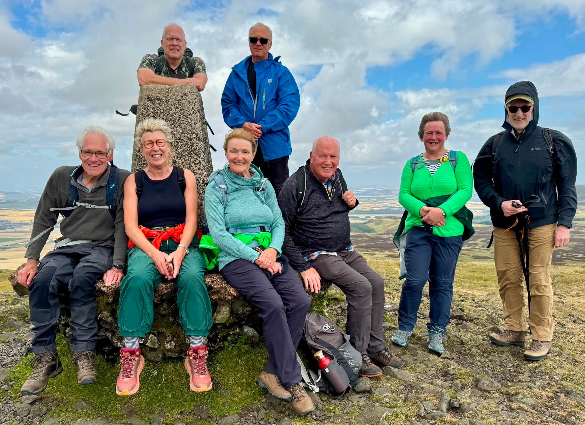
Nine of us met at Craigmead Car Park, Falkland, to walk in the Lomond Hills Regional Park. We followed a short, steep slope before joining a broad grassy path, which led to a steeper climb to the summit of East Lomond (448 m), also known as Falkland Hill. Interestingly, the trig pillar is not at the top but stands on the southern slope, 10m below the summit, in direct line of sight with other triangulation pillars. Due to the shape of the hill, the southern slope provided the best angle for visibility across the surrounding landscape. Sheltered from the wind, we stopped for our coffee break.
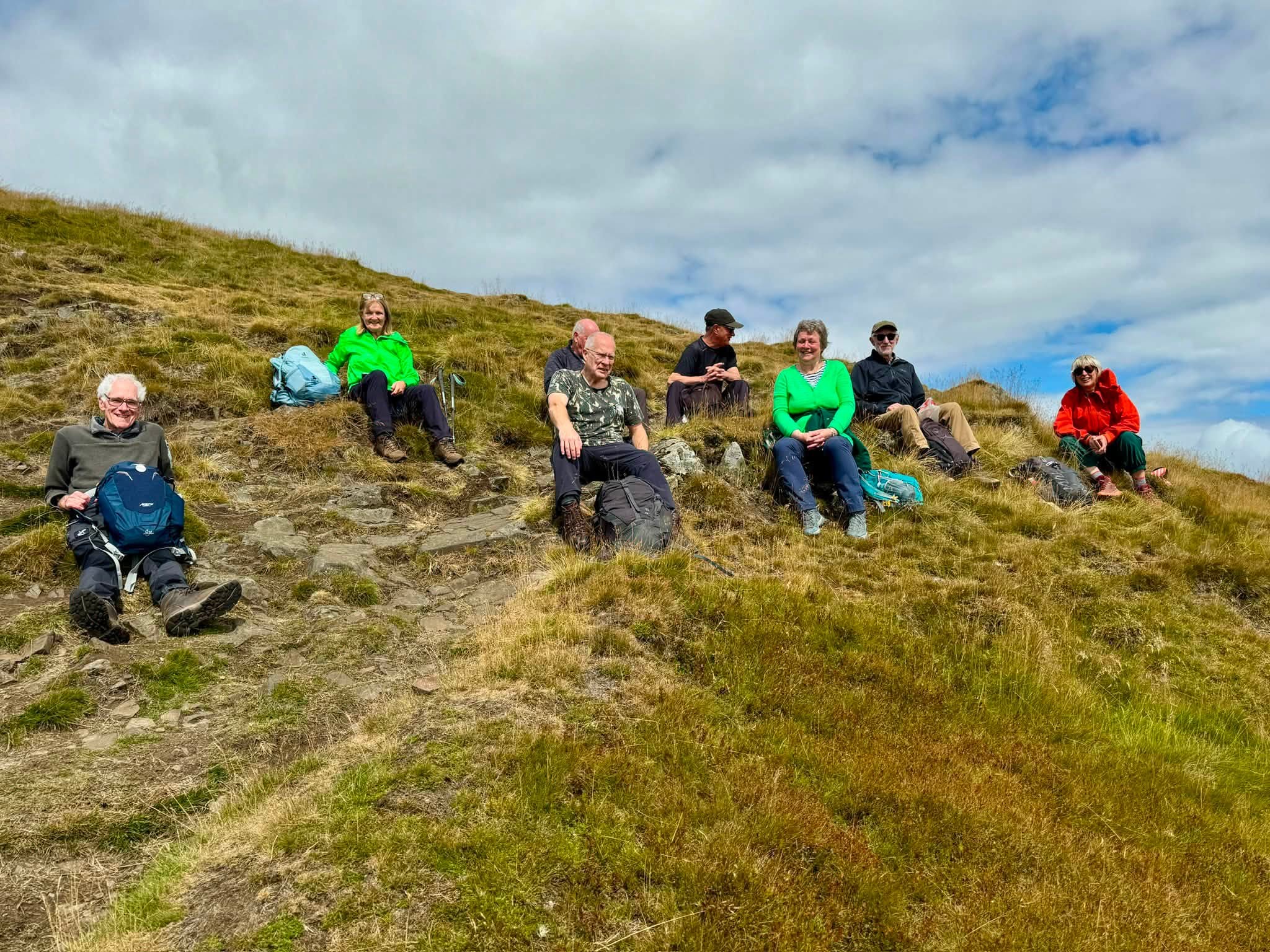
Along the route, the group noticed an excavation area, where recent discoveries have provided new insights into the remains of an Iron Age fort.
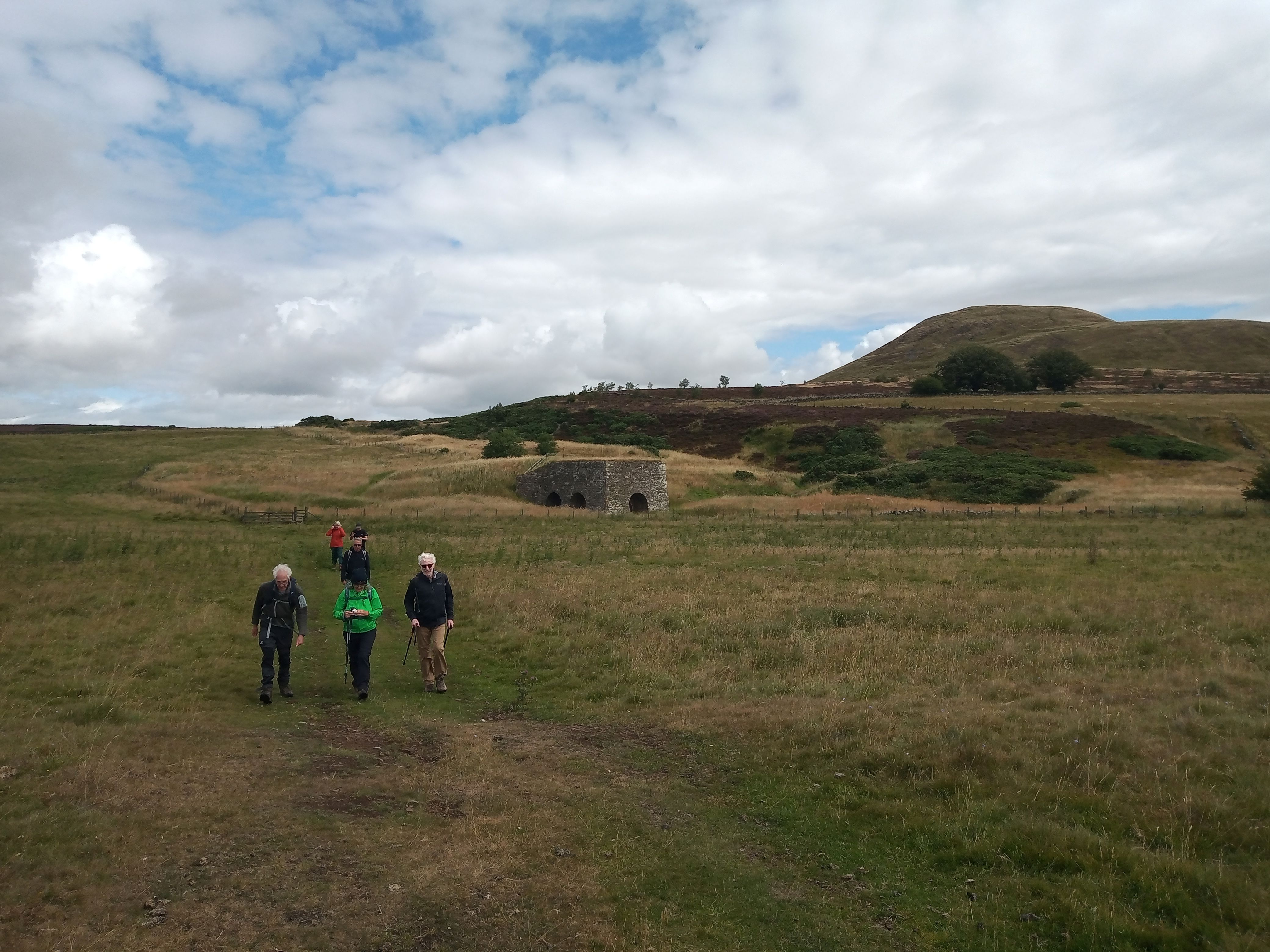
The descent was steep and a little rocky at first, but the path soon became easier as it continued south-west. There were fine views ahead towards West Lomond. We continued along the track until we reached a gate that led to a well-preserved lime kiln. From there, the route crossed open farmland before we reached our lunch stop. After lunch at the café, we followed the road back to Craigmead Car Park.
A well-maintained path then led towards West Lomond. The path climbed gradually before the final short, steep ascent to the summit. At 522m, West Lomond is the highest point in Fife, and from the top we enjoyed spectacular views across Loch Leven and the Ochil Hills, and East Lomond. The descent was fairly straightforward and less steep.
This superb walk offered a variety of landscapes and experiences, from challenging climbs and windswept summits to extensive panoramic views across the surrounding countryside.

Seven Pentland Reservoirs - Thursday 23 July 2026

Six of us today, including my nephew Will, walked a 13-mile route through magnificent scenery visiting seven of the reservoirs in the Pentland Hills. It was a beautiful walk through some lovely glens with spectacular views across stretches of surprisingly different water, each reservoir having quite distinct characteristics.
Climbing steeply uphill from the Bonaly car park to the Bonaly Reservoir, the oldest in the Pentlands built in 1851, we descended through Phantom's Cleugh, such a great name, to the shores of Glencorse Reservoir. Following the road alongside Glencorse Reservoir and Logan’s Burn, we soon arrived at Loganlea Reservoir for a welcome pit stop at the little fisherman’s cafe. Who would have thought you could get coffee and cake in such an unexpected location.
Passing the Howe, our route took us through Green Cleuch, a narrow valley between Black Hill and Hare Hill, before heading across a grassy area towards Bavelaw castle, a privately-owned 16th-century tower house which disappointingly is hidden in the trees. A lovely avenue of gnarly beech trees provided welcome shade as the sun’s strength intensified and channelled us across Redford Bridge which splits the upper reaches of Threipmuir Reservoir. The northern shore of Threipmuir led to Harlaw Reservoir, our fifth and a contrast to its neighbour, deeper, narrower and surrounded by trees. After walking along the top of the dam to Harlaw House, we stopped for lunch. It’s such a shame that the visitor centre is still closed but the benches in the little garden behind the centre made an ideal location for our picnic.
Our route then headed back towards the Pentland Hills through fields of wheat, Pentland Javelin potatoes and a field of what we identified as purple tansy or Fiddleneck used as a cover crop. After negotiating Middle and Easter Kinleith farms, our route led to Clubbiedean and Torduff Reservoirs with unfolding views of Edinburgh on the skyline. Crossing the end of Torduff via the dam, we returned to the car park.
A good day’s walk finishing in blue skies and bright sunshine.
Covenanter’s Grave – Sunday 19th July 2026
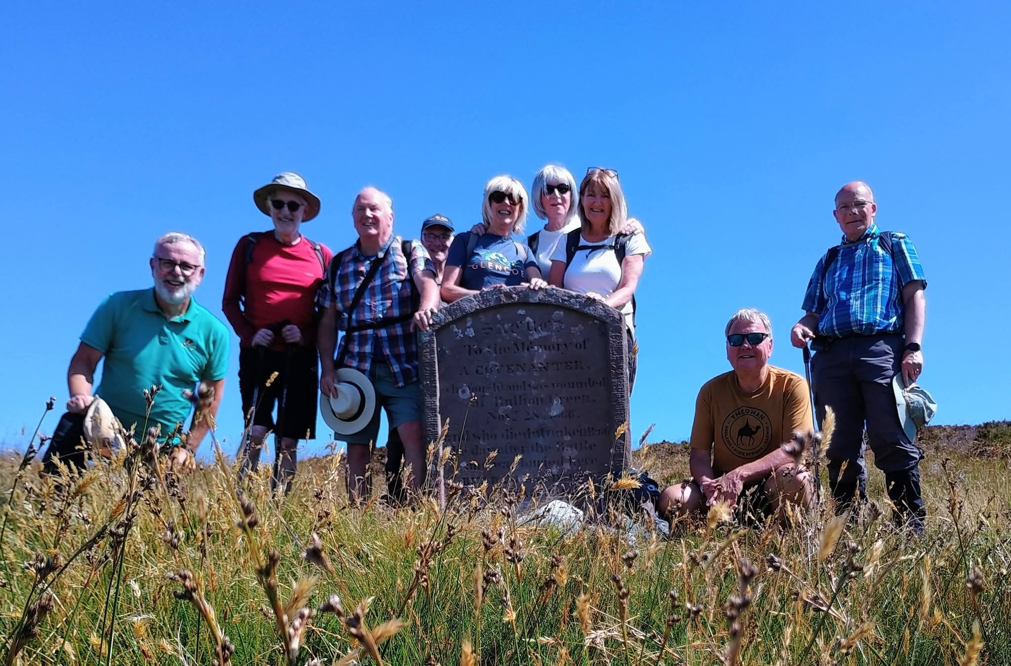
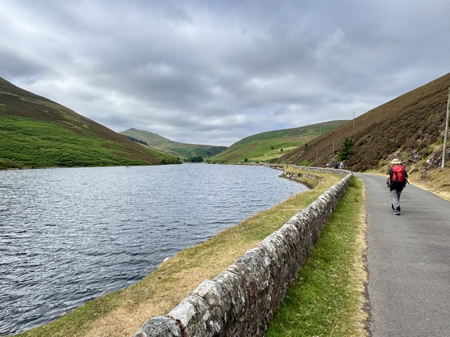
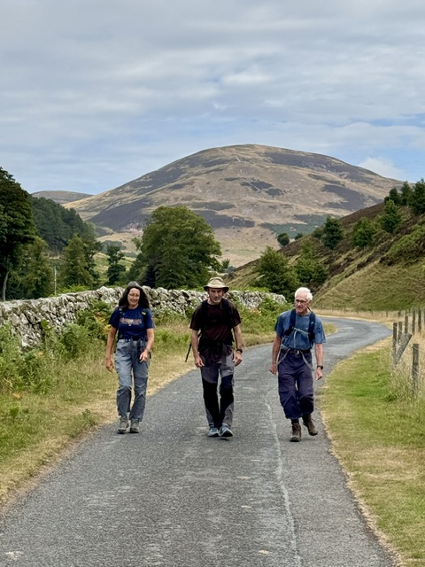
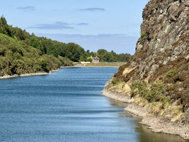
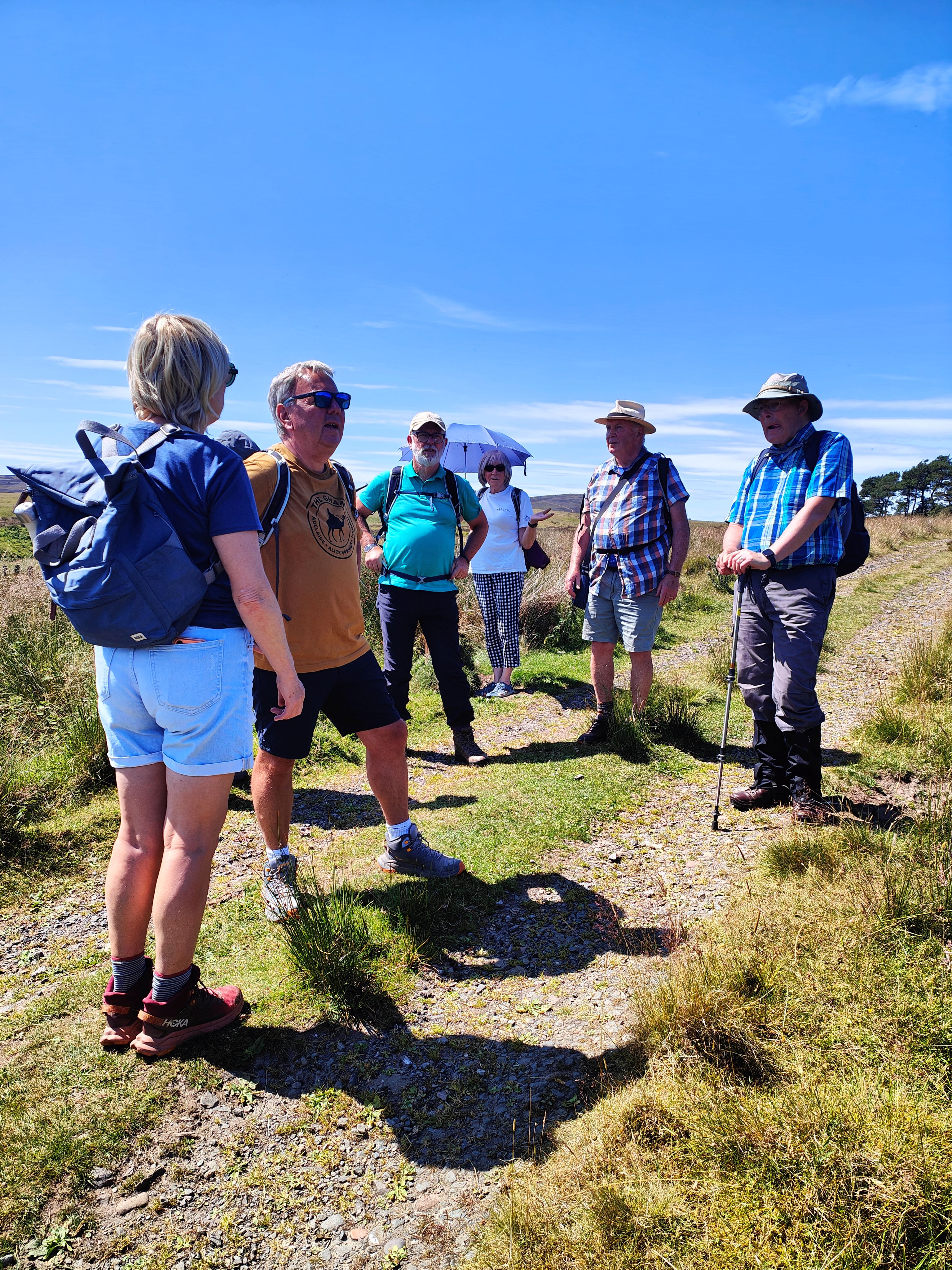
On a bright sunny morning, nine members of Biggar Ramblers set out on a 7-mile circular walk to the Covenanter's Grave. Starting in the small village of Garvald, the walk headed west for about half a mile before turning north, through Easton Farm and up to the end of the track below Black Law, which involved crossing two fords, the 2nd one providing a pleasant stopping point for a coffee and cake stop. While enjoying their coffee, the group heard some of the history of the covenanters, and how the national Covenant was drawn up in 1638 in order to resist Charles I's attempts to enforce royal control over the church in Scotland which resulted in over 50 years of persecution and bloodshed. In 1666, 1800 men attempted to enter Edinburgh to present their grievances. However, they were refused entry, and while retreating to the Pentland Hills, were attacked in what is now known as the Battle of Rullion Green. The covenanters received savage treatment which included the removal of heads and arms which were then displayed in an attempt to dissuade further unrest from the covenanters.
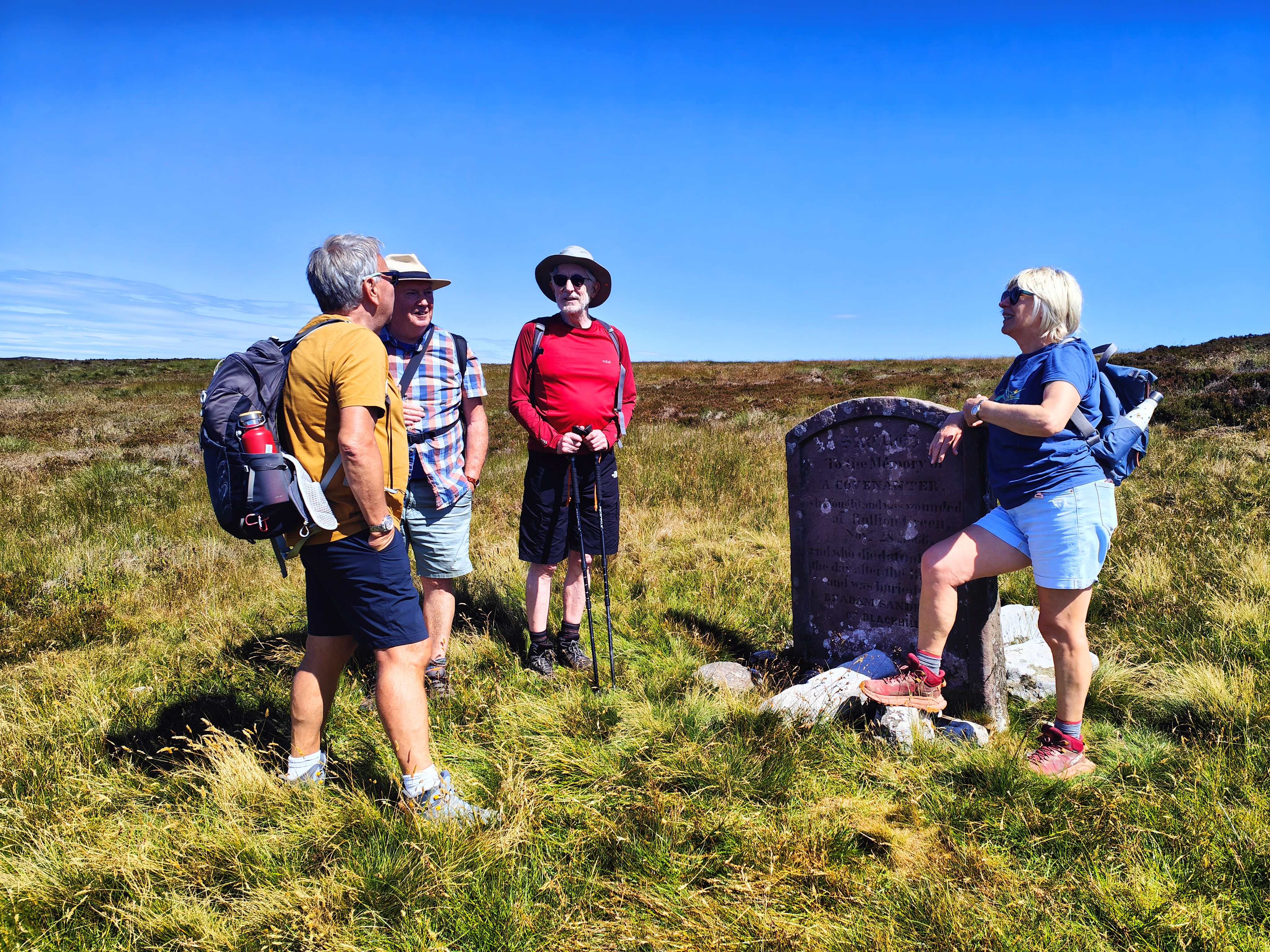
The group now continued up the hill, eventually reaching the stone marking the covenanter's grave. One of the covenanters, by the name of John Carphin, managed to escape from Rullion Green and was found badly wounded by a shepherd called Adam Sanderson. Knowing he was dying, Carphin asked the shepherd to bury him in sight of his beloved Ayrshire hills. Sanderson carried out the covenanter's wish and erected a stone which is now in Blackmount Church. The present stone was erected in 1841.
Despite hearing of all the bloodshed, the group found this spot peaceful and tranquil. Skylarks were singing, and there were wonderful views in all directions, including over to the distant Ayrshire Hills, and even a hazy Goatfell in the distance. After a leisurely lunch, it was now time to return back to Garvald via Medwynhead and Medwynbank. However, there was a short delay on the way – a lamb was found stuck in a drainage ditch. One of the group managed to lift it out and it limped away into the bracken, hopefully to be reunited with its mother. Back at the cars, all agreed that it had been a good day to have been out in the hills.
Lanark-Cartland-Nemphlar-Kirkfieldbank-Lanark walk - Saturday 27th June 2026

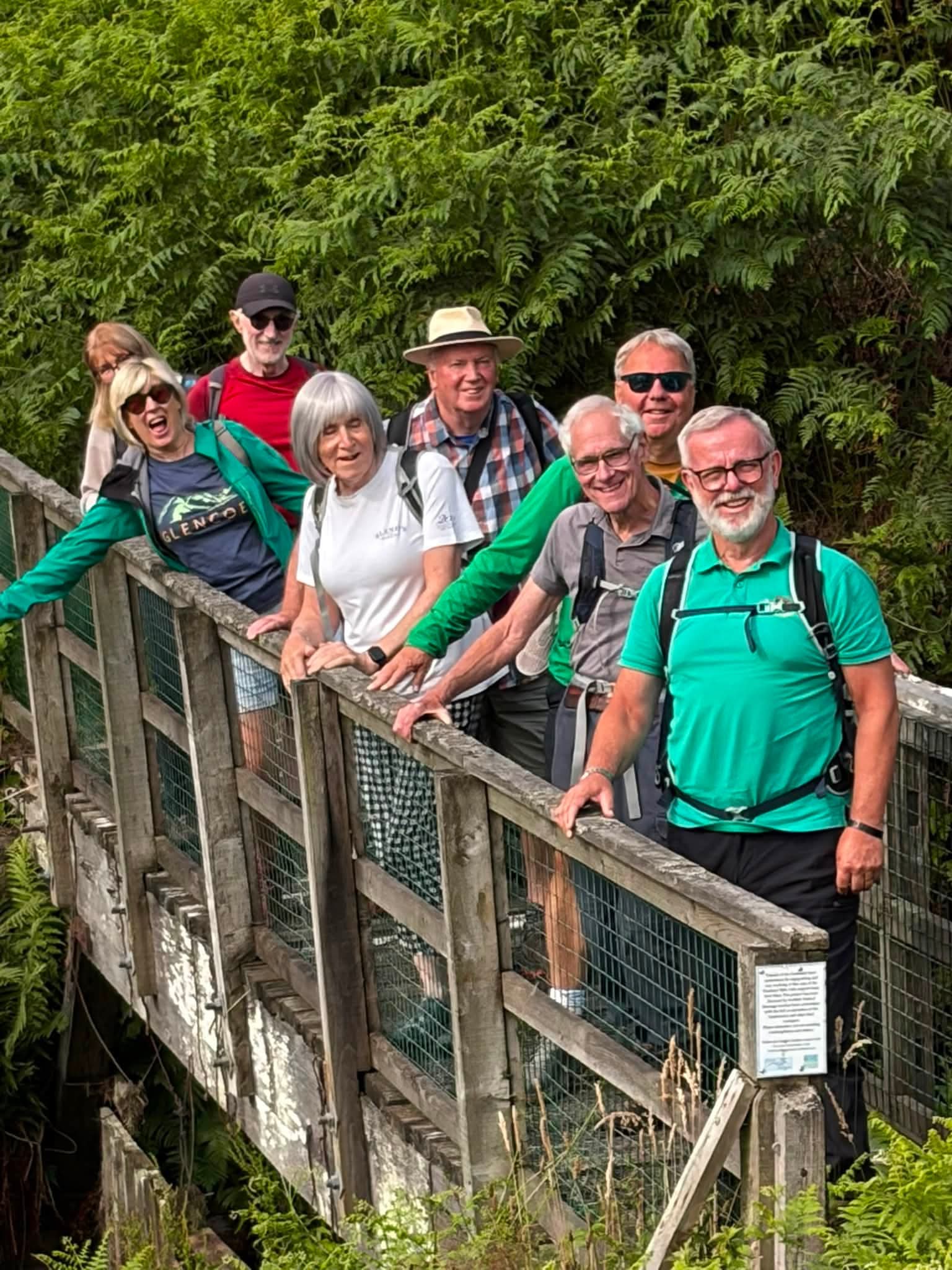
Seven walkers from Biggar Ramblers enjoyed a cloudy but warm ramble around Lanark. We walked out to Cartland village, down through the Lee woods estate and into Nemphlar. We then had lunch overlooking the Clyde valley before continuing along the 'ditches' path down to Kirkfieldbank before climbing back up to Lanark via Jookers Jonny.
We were treated to a number of interesting views of the town from different angles.
6.5 miles in length, with clear views of the surrounding hills and some great company, it was approximately 4 hours enjoying some of our fantastic local countryside.
Evening ramble at Coulter Mains – Thursday 18th June 2026
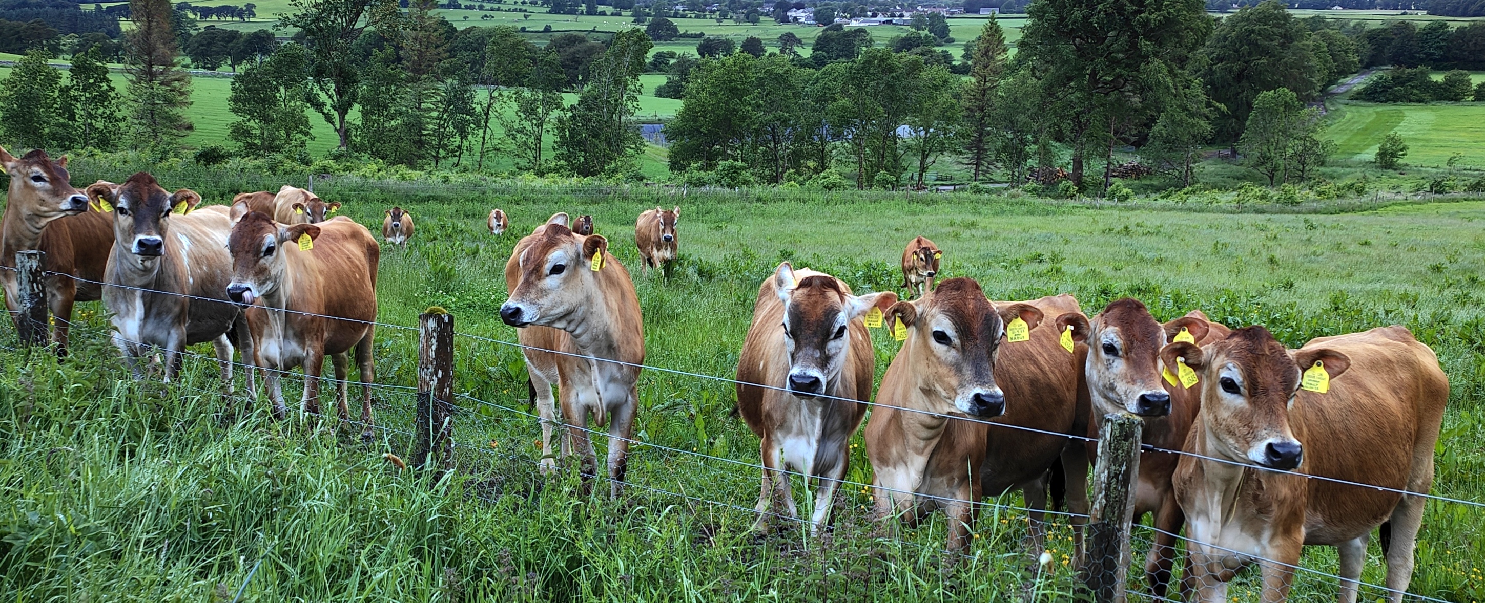
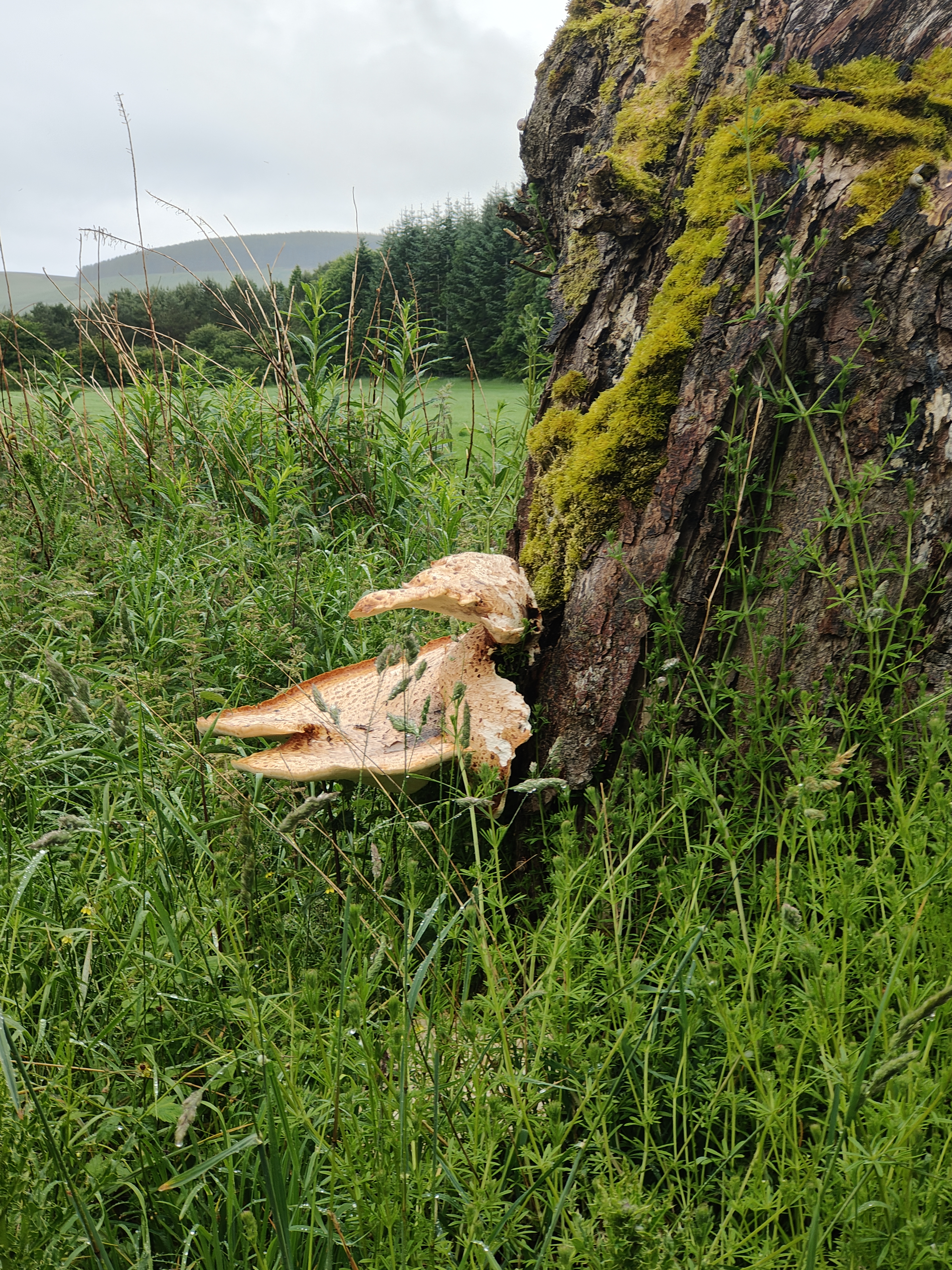
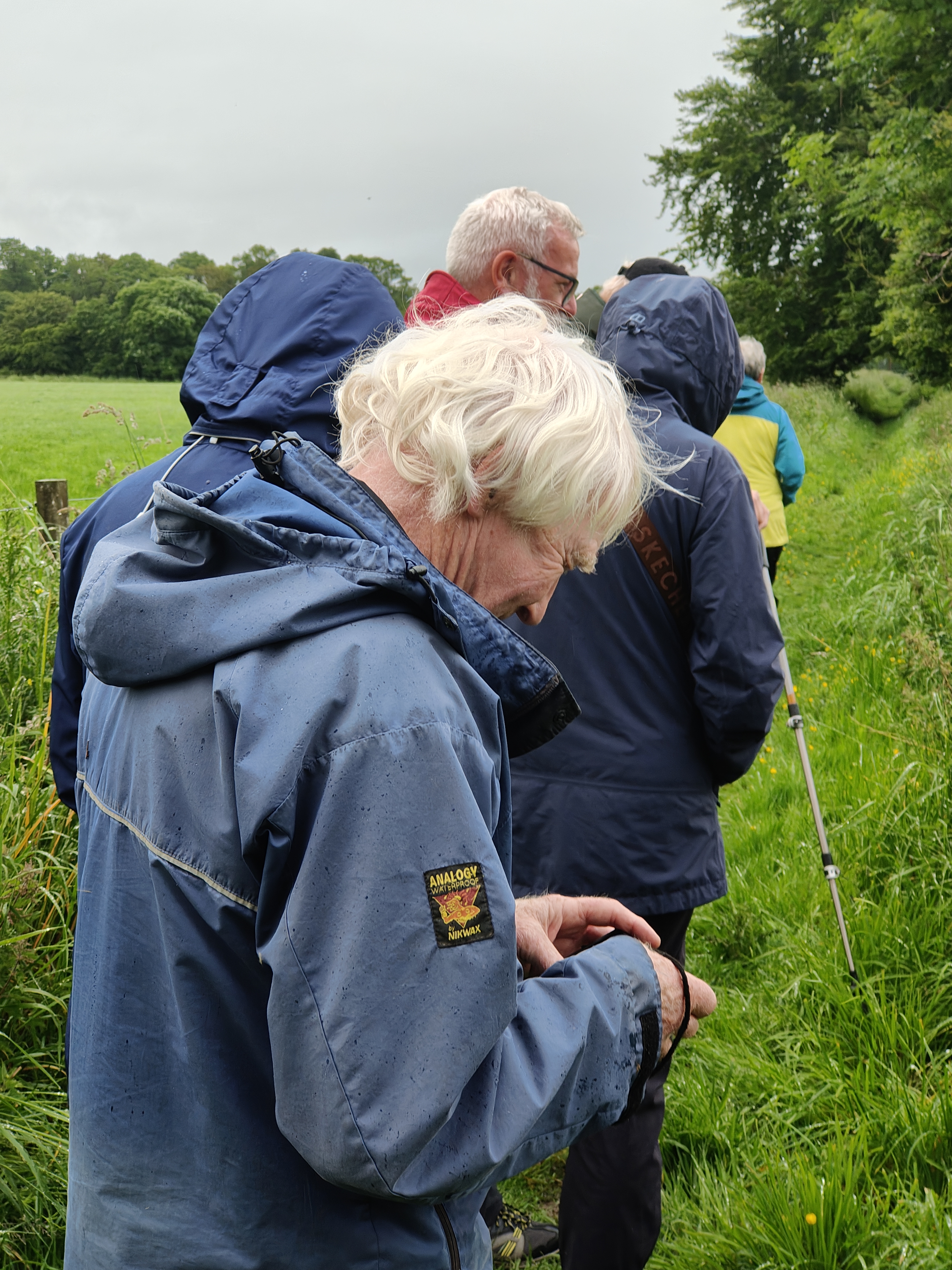
Despite a wet afternoon and a forecast of even more rain, 7 intrepid members of Biggar Ramblers set out on an evening amble round the paths of Coulter Mains Farm. Amazingly, the rain stopped at the start of the walk, so the only problem was wet feet! It was lovely to be walking under some magnificent beech trees and then to come across some large bracket fungi, all part of a great ecosystem. Along the toppath, the group were investigated by a group of young Jersey heifers - very attractive animals.
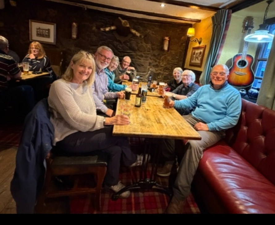
Returning back to Biggar, it was into the pub for a couple of drinks which rounded off a most enjoyable evening.
Water of Leith - Sunday 14th June 2026
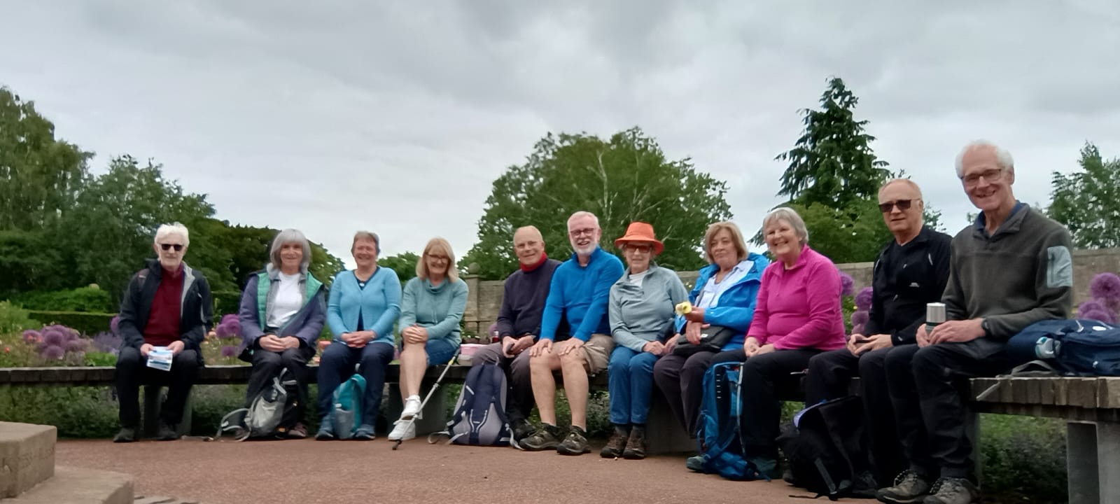
On a sunny Sunday morning, after a week of rain, eleven Biggar Ramblers set off from the Water of Leith visitor centre, Slateford and took a leisurely walk to Leith along the path. As well as enjoying the pleasant weather, we had our coffee in the stunning Saughton Gardens, passed Murrayfield Stadium where they were preparing for a Zach Bryan concert and an interesting food market in Stockbridge - all very busy in the sunshine. On reaching Leith, we divided into two groups - ice creams for some and coffee for others. We returned to our cars on the top deck of a double decker bus for a free tour of Edinburgh.
Cardrona to Peebles – Tuesday 9th June 2026
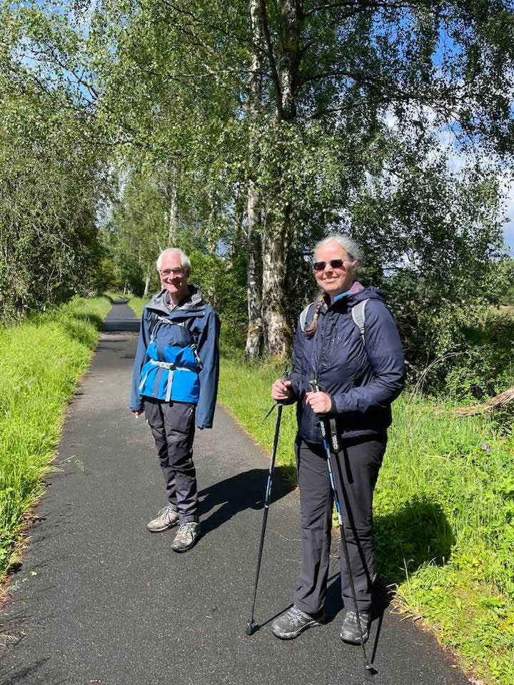
On a rather damp and cool morning, three members of Biggar Ramblers drove to Peebles from where they took the bus to Cardrona so that they could walk back to Peebles along the old railway route which has now been converted to a good walking and cycling track. (The line was operational for 98 years between 1864 & 1962.) Now in some light rain, the track passed along the side of the golf course, part of the McDonald hotel complex. As the group came to the end of the golf course, the rain stopped and the sun came out and the track now passed along the side of the Eshiels Community Woodland – recently purchased by the community, a lot of work is in progress here to increase biodiversity by replacing densely planted conifers with a mixture of deciduous trees. The track now took the walkers past the recycling plant (not the most exciting part of the walk!) before it opened up below the Peebles Hydro where notices warned dog walkers of free roaming alpacas! A short but enjoyable walk now ended with welcome soup and sandwiches in the Tontine Hotel.
Tarbrax & Cobbinshaw - Saturday 6th June 2026
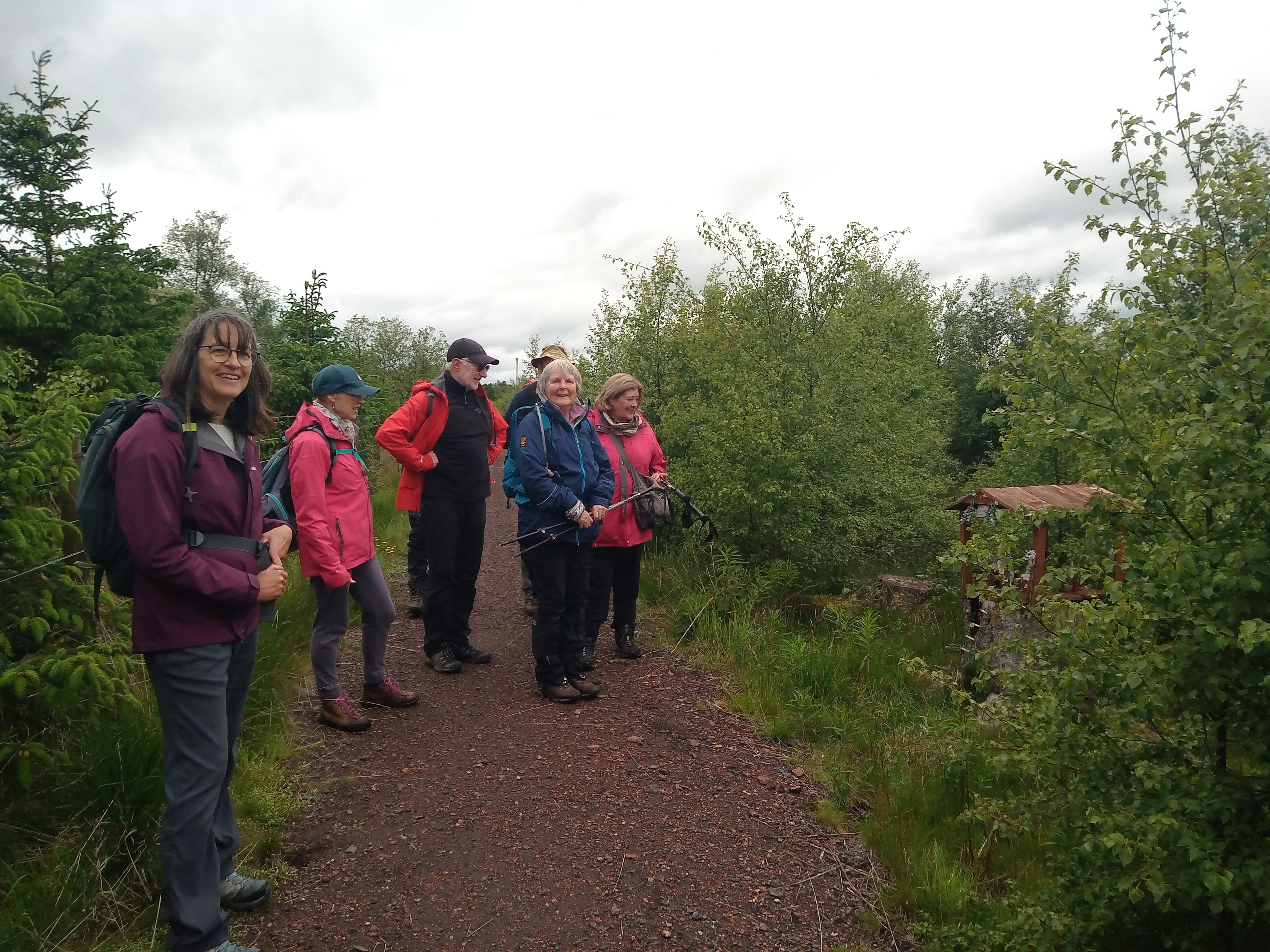
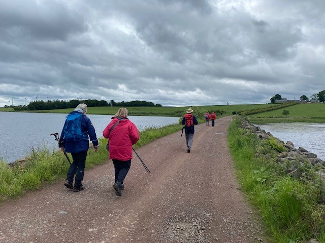
The area between Tarbrax and Cobbinshaw seems a wild moor these days, but as our group of Ramblers discovered, it was a hive of heavy industry just 100 years ago.
Starting from the community owned tea rooms at Loanhead Farm, we made our way down an avenue of beech trees to reach the old railway which ran between the shale works at Tarbrax and Woolfords Coal mine. From the track we started to get glimpses of Cobbinshaw Loch ahead of us in the distance. As we passed the station for the now-disused mine, we spotted the skeletons of two frogs and a sheep's vertebrae on top of a fence post which left us wondering how they got there.
After crossing the West Coast Main Line via a footbridge, we entered Fairy Land - not Woolfords, but a Fairy Path heading towards Cobbinshaw with several fairy houses and even a fairy castle. From Cobbinshaw we crossed the Loch, which was constructed in the 1820s to provide a water supply for the Union Canal, via a causeway which gave good views across both halves of the loch and then pulled up the hill to South Cobbinshaw Farm where we paused for a snack overlooking the loch.
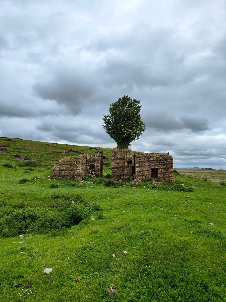
Continuing on along a disused tramway, we passed an old drift mine and then reached the remains of an old paraffin refinery, a relic of the times when the now-sleepy hamlet of Tarbrax had a population of over 2000 working in the oil shale industry and boasted tenement houses, several shops, a social club, two churches, and various sports and recreational facilities. The return towards Loanhead Farm was flat, but it involved some areas of tussocky moorland where the former trackways seem to have disappeared. Undaunted, the Ramblers plodded on, motivated by the need to reach the tea shop before it closed! (This also meant that an ascent of Tarbrax Bing "The Ayres Rock of South Lanarkshire" was left for another day!).
On reaching Loanhead Farm, we were delighted to find that not only was the tea shop still open, it was offering hot soup and other snacks at very reasonable prices! It was also interesting to see old photographs of Tarbrax back in its heyday and realise how much this seemingly timeless landscape has changed.
Coalburn - Sunday 24th May 2026
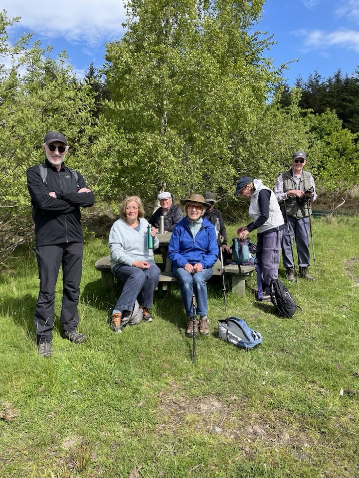
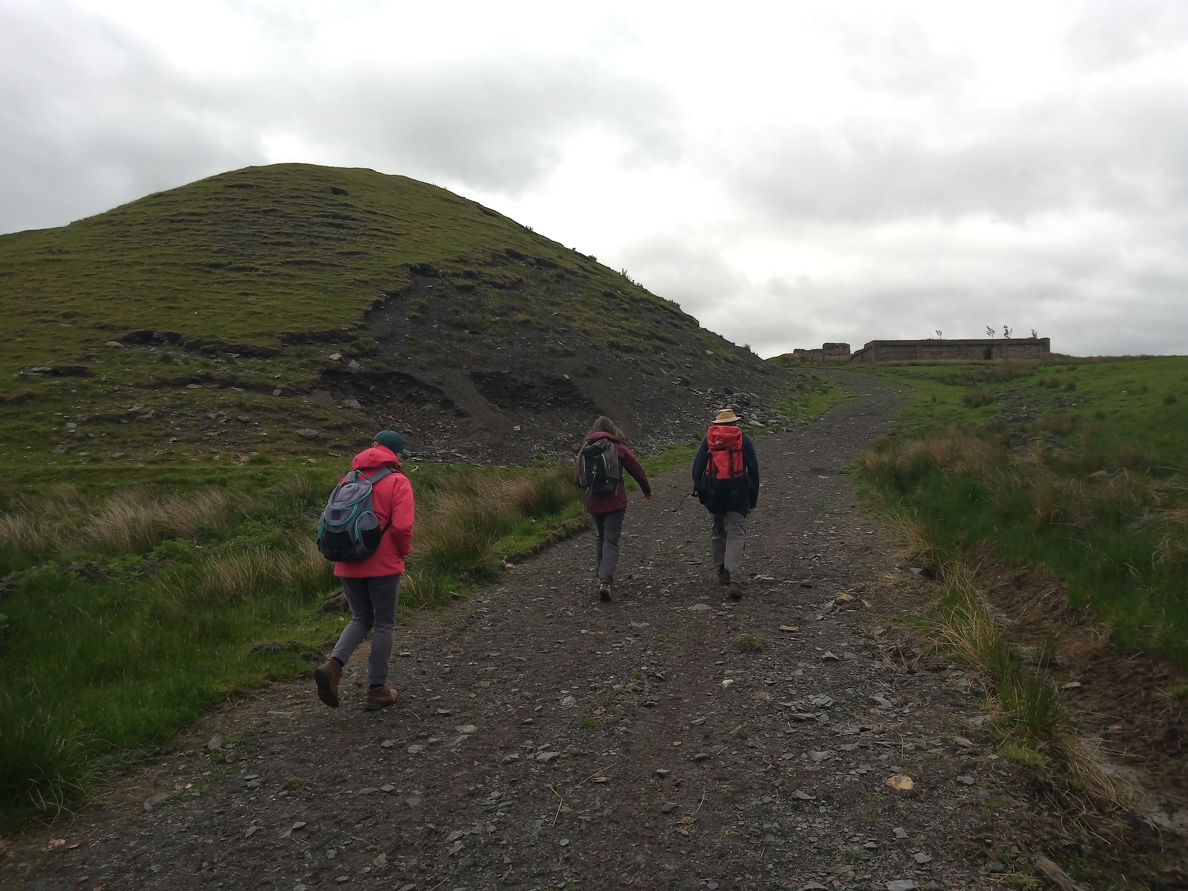
Eight walkers met near to Coalburn on a bright but chilly Sunday morning to walk to Wallace's Cave on a new pathway created under the auspices of Make Your Way. After climbing up to look at the cave, a coffee stop was taken at a picnic bench. The cuckoo was heard in the distance, and many other birds were also heard or seen.
At a T-junction, a left turn was taken onto the Queen Elizabeth Jubilee Road, with lots of wind turbines to be seen but also lovely views of the countryside towards Tinto Hill. The predicted shorts and t-shirts weather didn't quite materialise and warm jumpers were required on a sunny, blustery day. The walk was considered to be Grade C and totalled four-and-a-half miles.
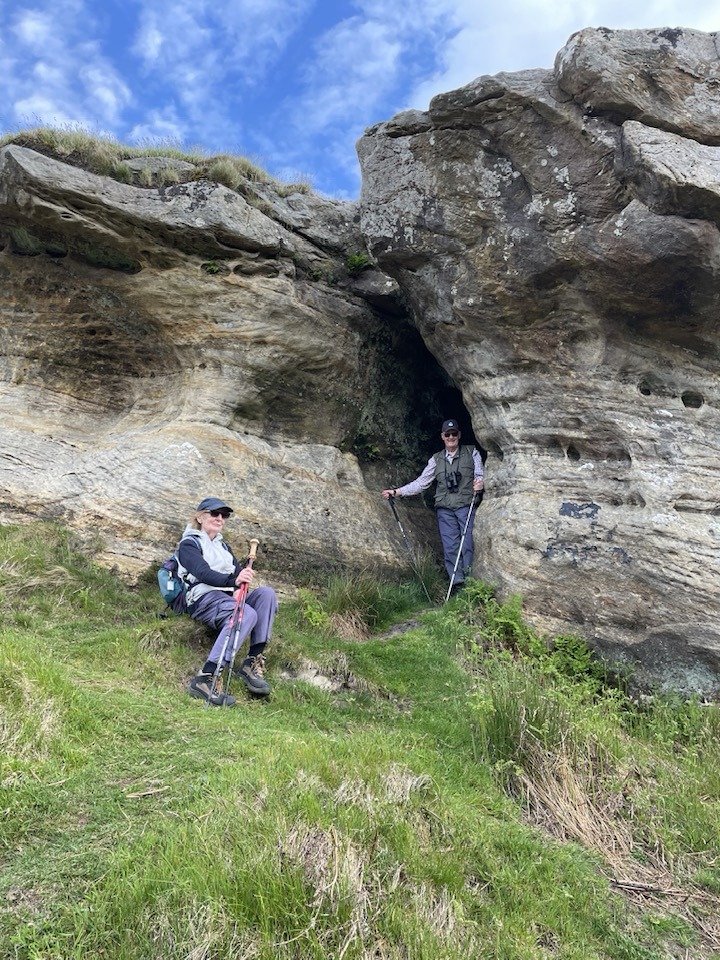
Along the Tweed: Lyne Station to Peebles and back again - Tuesday 19th May 2026
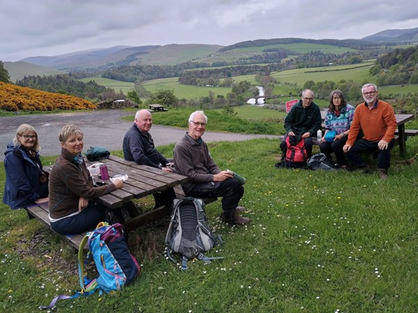
It was the day before good weather arrived and the forecast was not promising. The magnificent seven met at Biggar Corn Exchange, for a perennial favourite walk (and with good reason). Mostly flat, with bucolic views along the river, and Spring is the time for lambs, wildflowers, and (hopefully) better weather. The intention was to take a steady walk from Lyne along the south side of the Tweed Walkway through to Manor Bridge for coffee by the river.
The Tweed did not disappoint, and a short diversion to the Barns Walled Garden, now swanky new wedding venue, made the first leg to Manor Bridge a breeze. Sadly, no one joined us here for the half route to Peebles and back, so we consoled ourselves with coffee and flapjacks as the sun shone on the righteous walkers.
We crossed to the North side of the river and joined the old railway route into Peebles via Hay Lodge Park. As the skies were darkening, we scooted into the Tontine for a pub lunch. The folk who had volunteered to drive looked on in envy as non drivers took a pint with lunch.
Replete, we returned via the south side of the river where the little bit of up and down and a short rocky part close to the river bank proved no problem for Team Biggar.
Arriving at the top of The Sware for fantastic views across the valley (more flapjack), before descending down to the Old Manor Brig and New Manor Bridge. The final stretch along the North side of the river is flat and easy, with much chattering before we descended steps back to Lynesmill and the cars.
Around 8.5 steady and beautiful miles in excellent company- and no rain despite the forecast!
Turkey and Lamington Hills - Saturday 16th May 2026
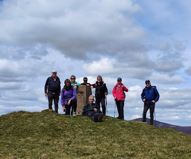
The weather gods smiled on nine Ramblers for a walk over Turkey and Lamington Hills from Culter - the sun stayed out and the rain kept off!
Starting from Coulter Hall the group followed the minor road for a short distance before heading up a track towards Turkey Hill. After passing a small pond, they descended slightly, enjoying great views across the Clyde to Tinto Hill and north to the Campsie Fells, the Lomond Hills, Ben Lomond, Ben Vorlich and Stuc a,Chroinn. A haul up past some shooting butts took them to the top of the hill where they paused beside the track for a snack taking in with panoramic views of Coulter Fell and Hudderston reaching to Broughton Heights in the distance. Continuing, refreshed, they descended slightly before a final climb to the trig point on Lamington Hill for lunch where the view to the west opened up.
From there it was all downhill! After a gradual start, the steeper section of the descent gave thighs and calves a workout before they reached flatter ground and the road leading to Culter Allers and then back to Coulter.
Stravanan Bay from Kilchattan - Isle of Bute - Monday 11th May 2026
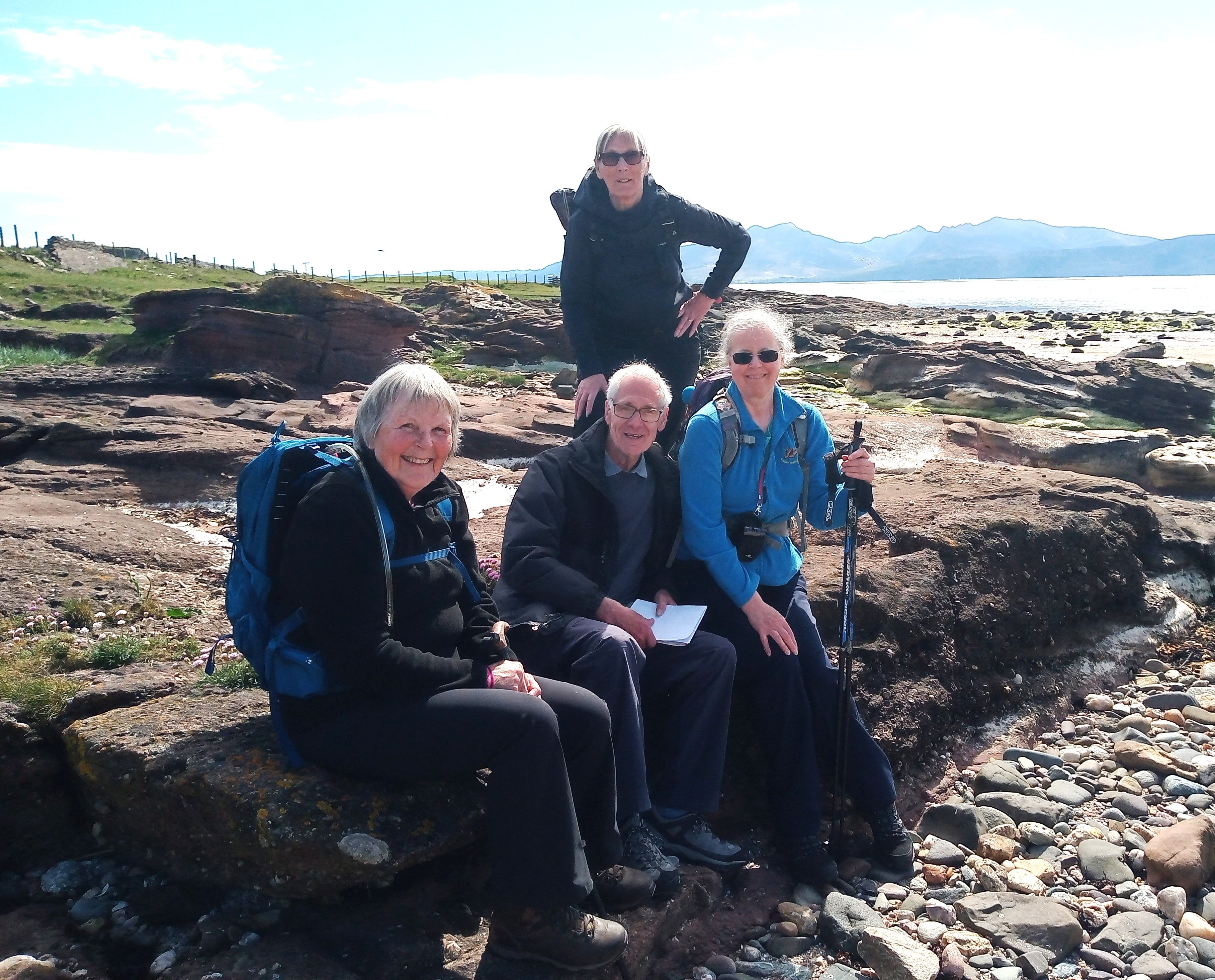
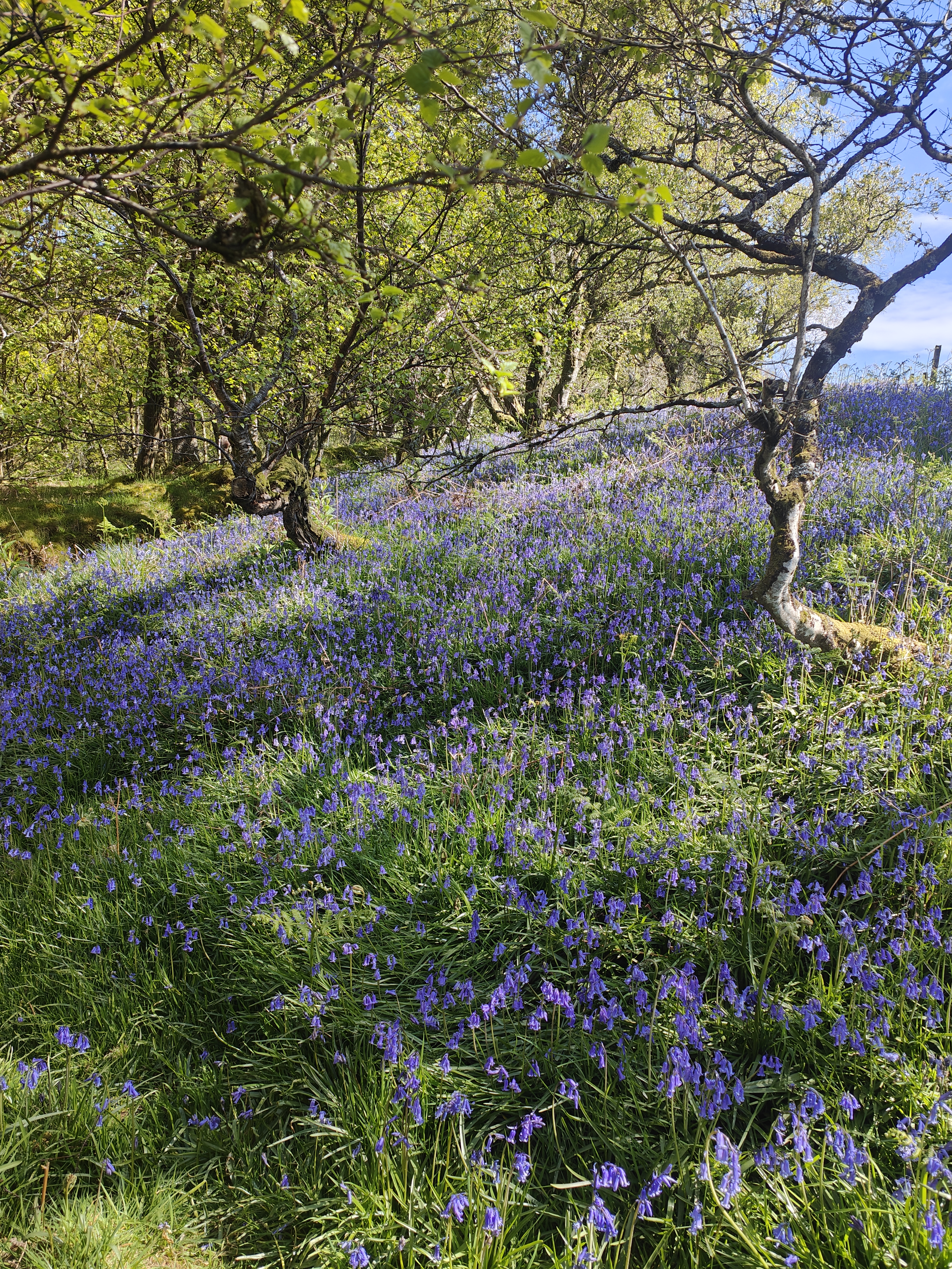
Following an amazing last morning of their weekend on Bute looking round the wonderful gardens and incredible interior of Mount Stuart, the Biggar Ramblers split into two groups for an afternoon walk. Those wanting an easier walk set off from Kilchattan Bay across the island to Stravanan Bay. The route led inland through some open woodland, decorated with a carpet of bluebells, before crossing open pasture. It then crossed the island airfield and golf course – luckily there were no aircraft or golf balls to contend with! The path now reached Stravanan Bay itself, a fine sandy beach with great views across to Arran. The group spent time here, relaxing in the sun and watching ringed plovers at work at the water’s edge.
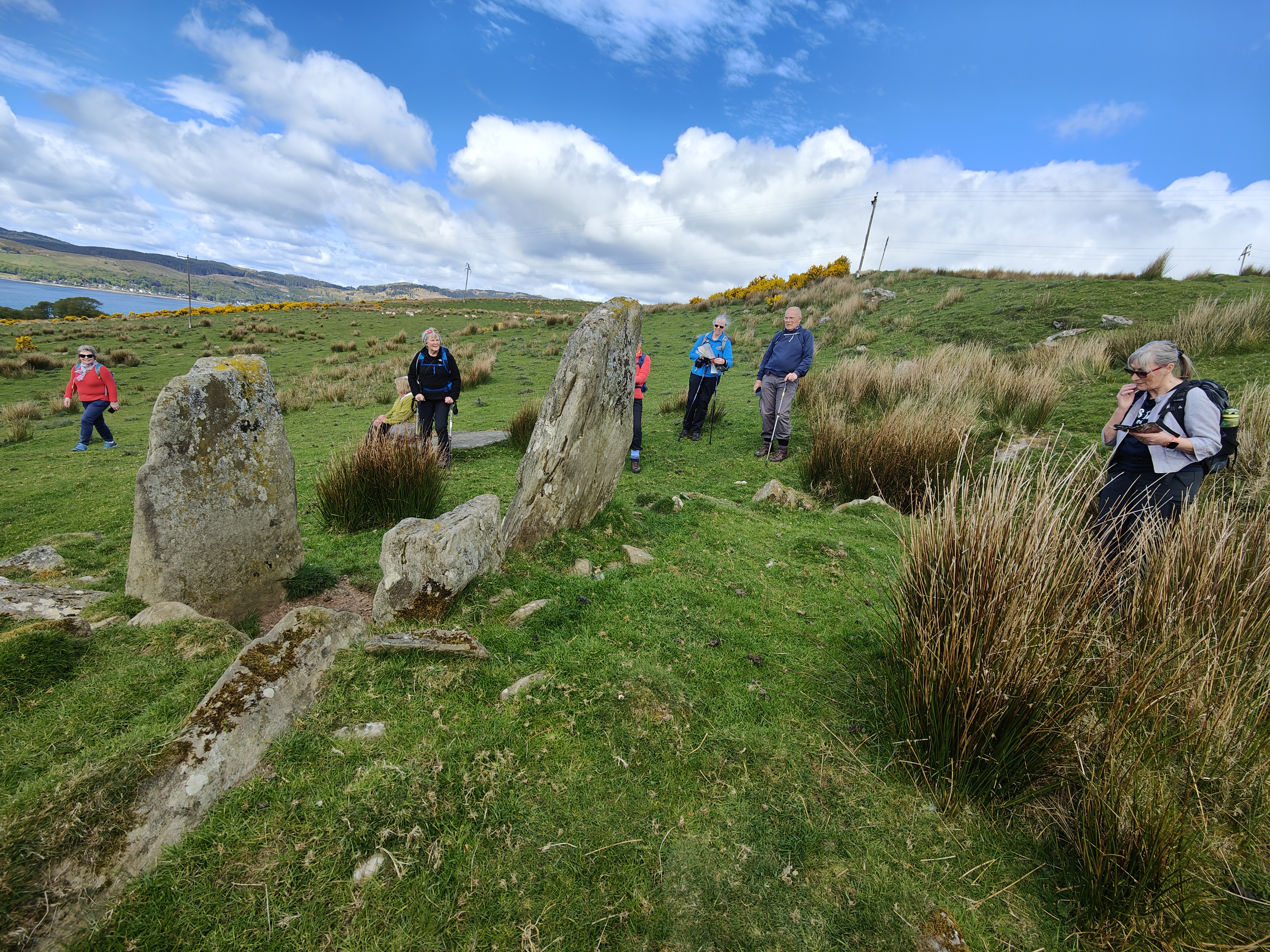
The group now retraced their steps as far as the edge of the woodland where they turned into a lane for a few hundred yards, before turning off onto another track which led them past three large upright stones, the remains of a prehistoric circle. Continuing along this track, the road back to Kilchattan, and the end of the walk was reached. Although one of the shortest walks, all agreed that it had been a very relaxing and enjoyable way to end the weekend.
Rothesay - Isle of Bute - Archaeology Walk - Sunday 10th May 2026
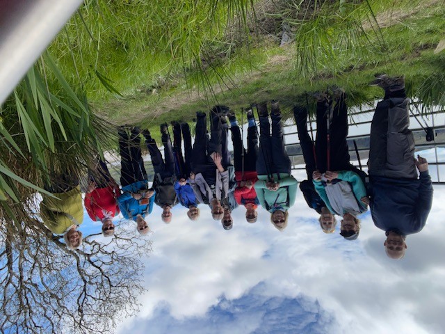
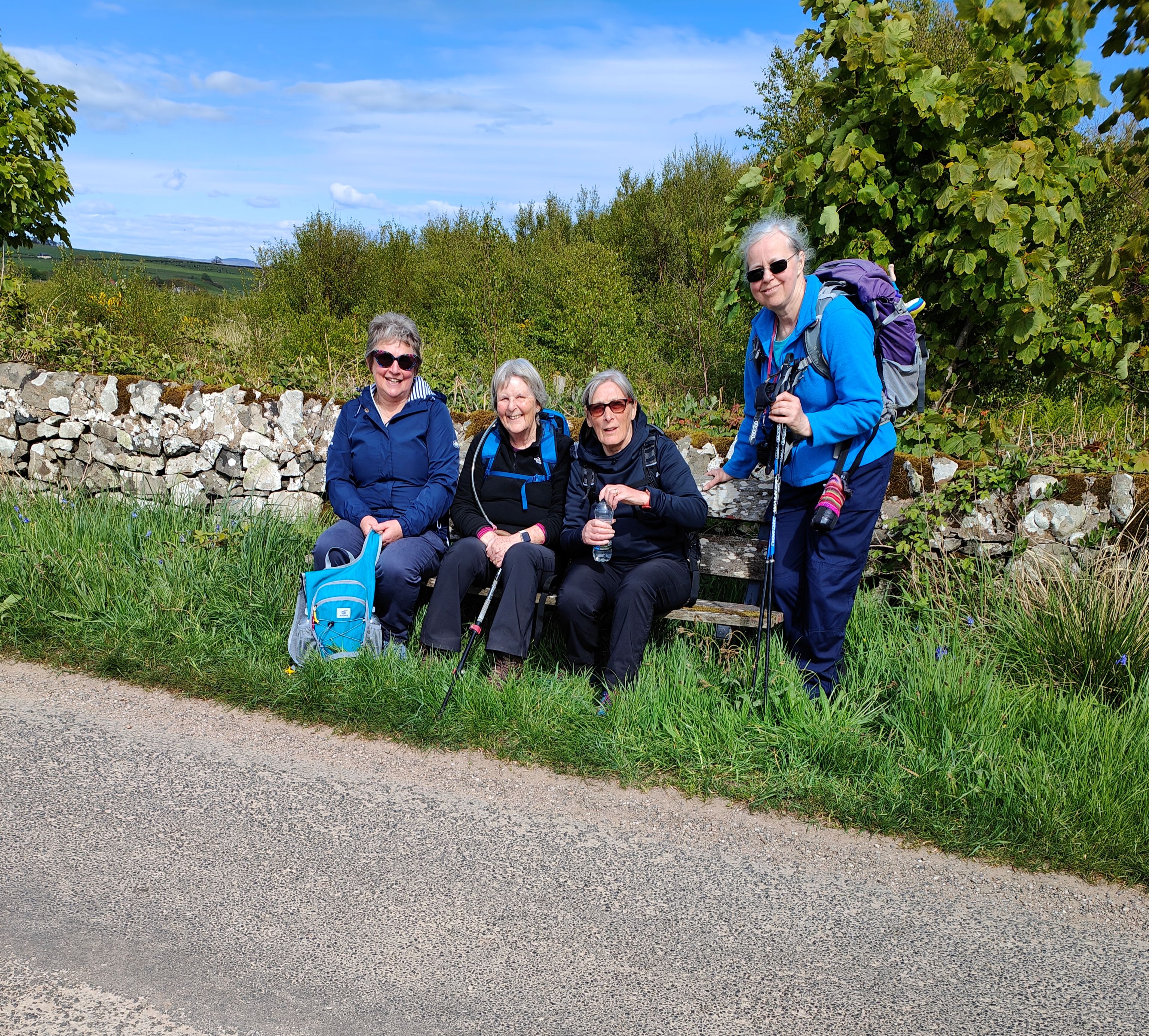
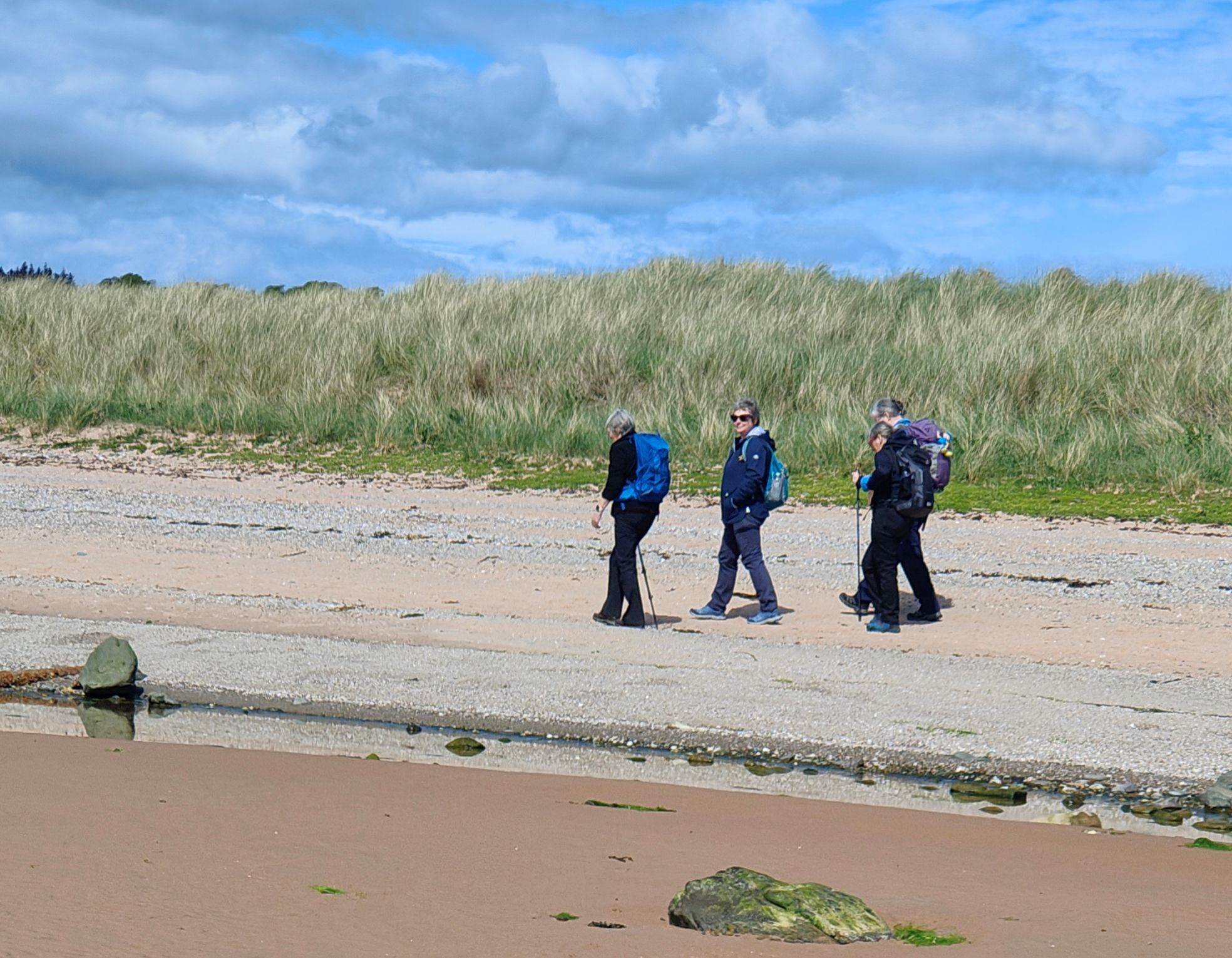
In the 2nd walk of their weekend in Rothesay, 12 members of Biggar Ramblers set out on an ‘Archaeology Walk’. Having driven up a narrow lane with great views on the west of the island from Ettrick Bay, the walk started by a small farm at Glecknabrae. After following a track for a short distance, a path was taken across fields and into a lovely bluebell wood, lit by sun rays percolating through the trees. A little further on and the ancient site of Cairnbaan was reached – this was about 30 metres long and consisted of several cists, or small chambers. After enjoying a coffee break here, the group descended through the woods and back to the main track.
After walking along the track for a while, a short detour was taken down to a shingle beach where there were great views across the water to Kames. Back on the track, a bit further on and the group could see a cluster of rocks. This was St Michael’s Grave, another chambered cairn dating back to between 4000 and 2000 BC. Continuing along the track and after passing a white cottage, a path was taken uphill across open grassland. Eventually near some gorse bushes a group of standing stones were spotted. This was Glenvoiden Cairn, thought to be 5000 years old. Having viewed the cairn, the group returned to the track, walking up to a farm where they cut across fields towards the shore and the remains of St Michael’s chapel within a walled enclosure. After walking round the enclosure inspecting some of the grave stones, it was time for a well-earned lunch break, looking across the water to the attractive village of Tighnabruaich.
Having seen all the archaeological features of the walk, the group now retraced their steps along the track and back to the cars at Glecknabrae and drove back to the Ettrick Bay café where they reviewed all they had seen over a welcome cup of tea.
Rothesay - Isle of Bute - Saturday 9th May 2026
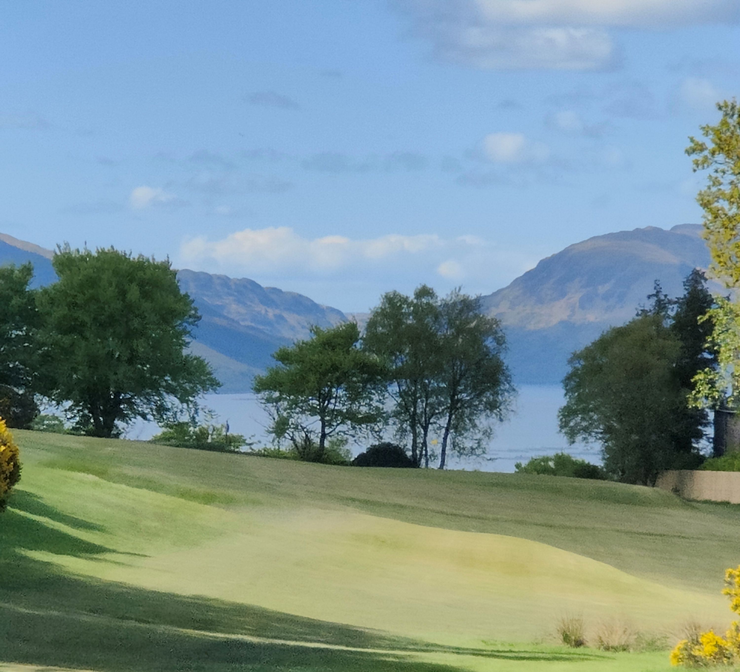
On a bright sunny Saturday afternoon in Rothesay, 24 members of Biggar Ramblers set out on the first of a series of weekend walks. Starting from their hotel, the Glenburn, the group headed down to the waterfront which they followed to the pier head. Here they first inspected the 1920’s Art Nouveau Winter Garden before moving on to look in at the architectural marvel of the Victorian male toilets, quite a tourist attraction on the island! Moving away from the pier head, the party now reached Rothesay Castle. Still protected by a moat and accessed by a drawbridge, the castle dates back to 1200.
The group now headed up the Serpentine, a challenging climb of 1.6km and a 106 meter ascent with an average gradient of 7% - as would be expected, there were plenty of breaks to stop and admire the views that were opening up!
The route now took the walkers into more open countryside, first agricultural land with views across to Arran, and then round the edge of the lovely Rothesay golf course and on to Canada Hill where there were views down to the Firth of Clyde and the two Cumbrae islands. Canada Hill is so named as historically families rushed to this point to watch the boats carrying their departing relatives to new lives overseas.
The final section of the walk took the group back down to the waterfront and back to the hotel, now with marvelous views across to the Cowal Peninsula and Toward Point. This proved an excellent introduction to the island of Bute and the walks planned for the following two days.
West Kip by Monks Rig - Tuesday 5th May 2026
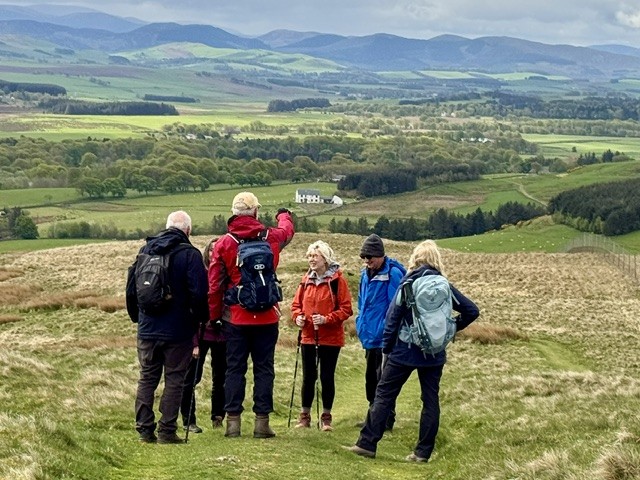
West Kip, a 551m sharp pointed hill with an almost conical summit, forms a prominent part of the Pentland Hills silhouette.
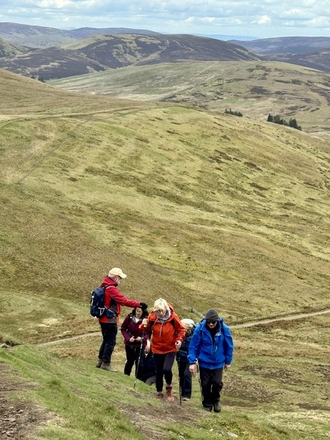
Leaving the car at Nine Mile Burn, eight of us made our way steadily upwards towards Monks Rig or ridge, part of an old pilgrimage route that once stretched from Newhall Monastery to South Queensferry. The ridge path, waymarked for Balerno, appears well used. As we climbed towards Cap Law, we stumbled upon the Font Stane, a roughly shaped block of gritstone believed by some to be the base for a medieval cross rather than a baptismal font. Whatever its purpose, it must have taken a Herculean effort to have transported such a heavy block of stone to such a remote location. Today it’s full of coins from passers-by, perhaps placed there for good luck on their onward journey or as a token in hope that a wish made might come true.
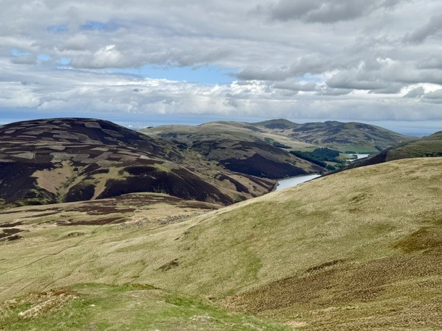
As we reached the crown of Cap Law, 497m, views opened up in both directions. Behind us the purple smudge of the Moorfoot hills in the direction of Peebles. In front of us the hazy outline of the Ochils north of Alloa. Pausing for refreshments at the base of West Kip, we contemplated the short but steep ascent to the summit as a farmer whizzed by in his buggy, border collie in tow, perhaps enroute to round up some of the hefted blackfaced sheep.
The route to the top of the kip was aided by indentations, step like, created by previous walkers whose footsteps are slowly eroding the hillside. The views from the summit were worth the exertion. A 360-degree panorama, in surprisingly sharp focus considering it had been trying to rain on and off all morning. Of particular note, the feint dark line of paths linking West Kip, East Kip, Scald Law and Carnethy Hill, fifty shades of green, and the views along the valley to the glittering jewels of Loganlea and Glencorse Reservoirs.
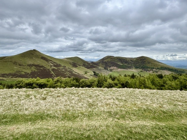
Aberlady & Gullane - Thursday 30th April 2026
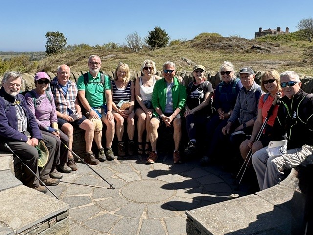
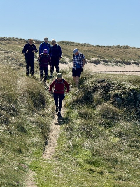
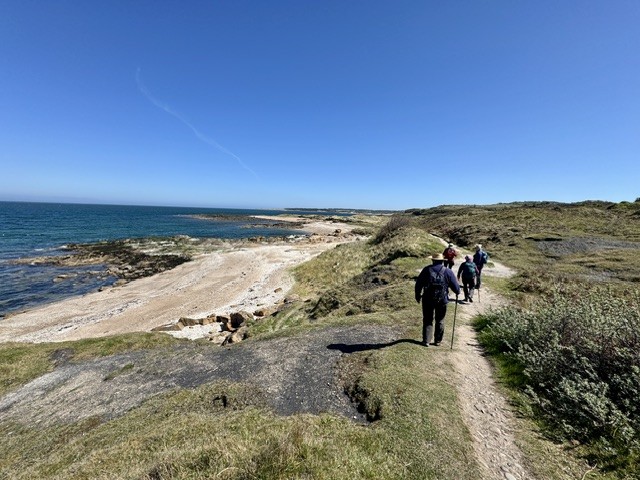
Aberlady and Gullane. Not a firm of local solicitors or estate agents but two small villages on the east coast of Scotland, the location of our 6.5-mile hike in late April sunshine. “What a cute rickety old bridge!“ shouts one of our thirteen strong group as we pull on our boots in the Aberlady Nature Reserve car park in readiness for an enjoyable day’s walk.
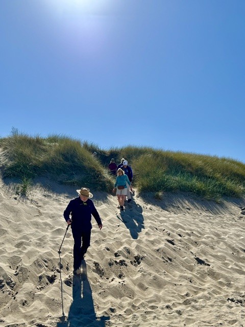
The Scottish author Nigel Tranter called it the ‘footbridge to enchantment’ in his autobiographical country notebook of the same name and today it became our portal to a magical world: Sliding down dunes topped with spikey marram grass to golden sands fringed by a deep turquoise glittering sea that seemed to stretch to the horizon. Hunting down the spectral remains of two midget submarines uncovered by low tide that resembled beached whales. Watching hundreds of blindingly white gannets hunting for fish, diving from great height like fighter aircraft. Exploring tiny hidden coves hugged by algae covered blocks of sedimentary rock speckled with pink thrift as shells crunched beneath our feet. Enjoying the company of a diverse group of ramblers with a similar interest, exchanging stories, anecdotes and good-humoured banter as we poured coffee from our flasks and munched chocolate treats.
A truly special day spent with special people that will live long in the memory.