
Coulter Mains Evening Walk - 10th July
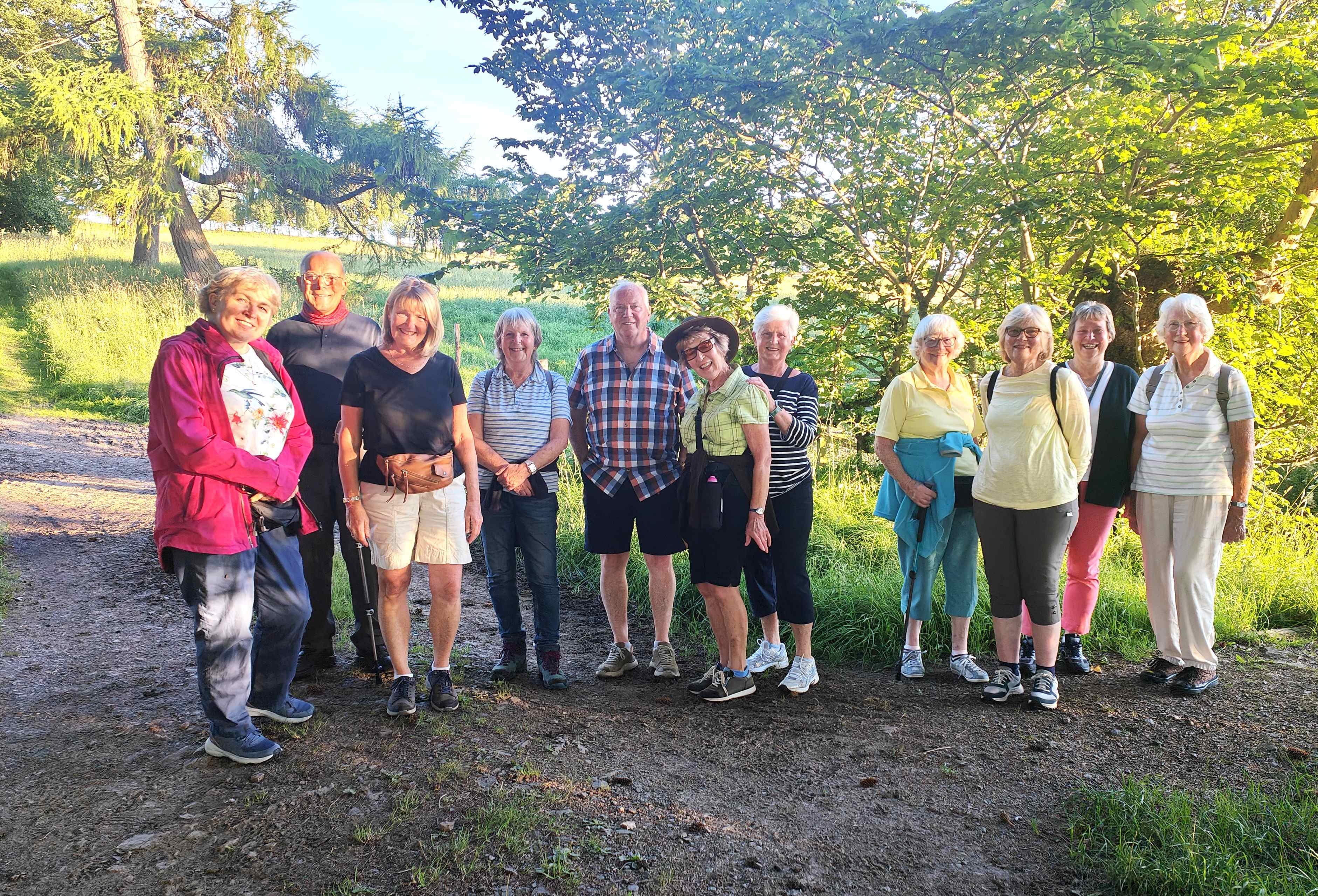
On a wonderfully sunny evening, 12 members set out for a short walk along tracks and paths surrounding the fields of Coulter Mains Farm. The paths took the group along avenues of lovely beach trees, open stretches where clear views opened up in all directions, and past some open pine plantations through which the evening sunshine cast its shadows. After the walk, most of the group retired to the local pub to quench their thirst!

The Round of Glen Sherup - 28th June
This was a lovely walk in the Ochil Hills, which afforded fantastic views in all directions, together with the opportunity to bag three Donalds.
The walk started at the Forestry Commission car park on the Muckhart to Gleneagles road. After a climb above Glensherup Reservoir along a forest track, the walk took a steeper climb through a forest ride, emerging into the open where magnificent views opened up to the south and east, from the Lomond Hills down to the Forth and Grangemouth. There was then a steady climb to Innerdownie, the first of three Donalds on this walk. Half way up there was a bench which made an excellent stopping point for a coffee break. After Innerdownie the walk continued over Whitewisp Hill and Tarmangie Hill, the other two Donalds. With a strong wind blowing, the group managed to scramble over a stone wall so that shelter could be found for a lunch break. At the top of Tarmangie a whole new vista to the northwest opened up with views right across to the Highland edge. The route now crossed the top of the valley and returned down the other side of the glen, passing by Scad Hill, and finally just before Ben Shee turned down to the bottom of the valley, along the side of the reservoir before crossing the dam and arriving back at the car park.
Despite the strong wind, all agreed that this had been a most enjoyable walk.
Wolf Craigs Circular Saturday 14th June 2025
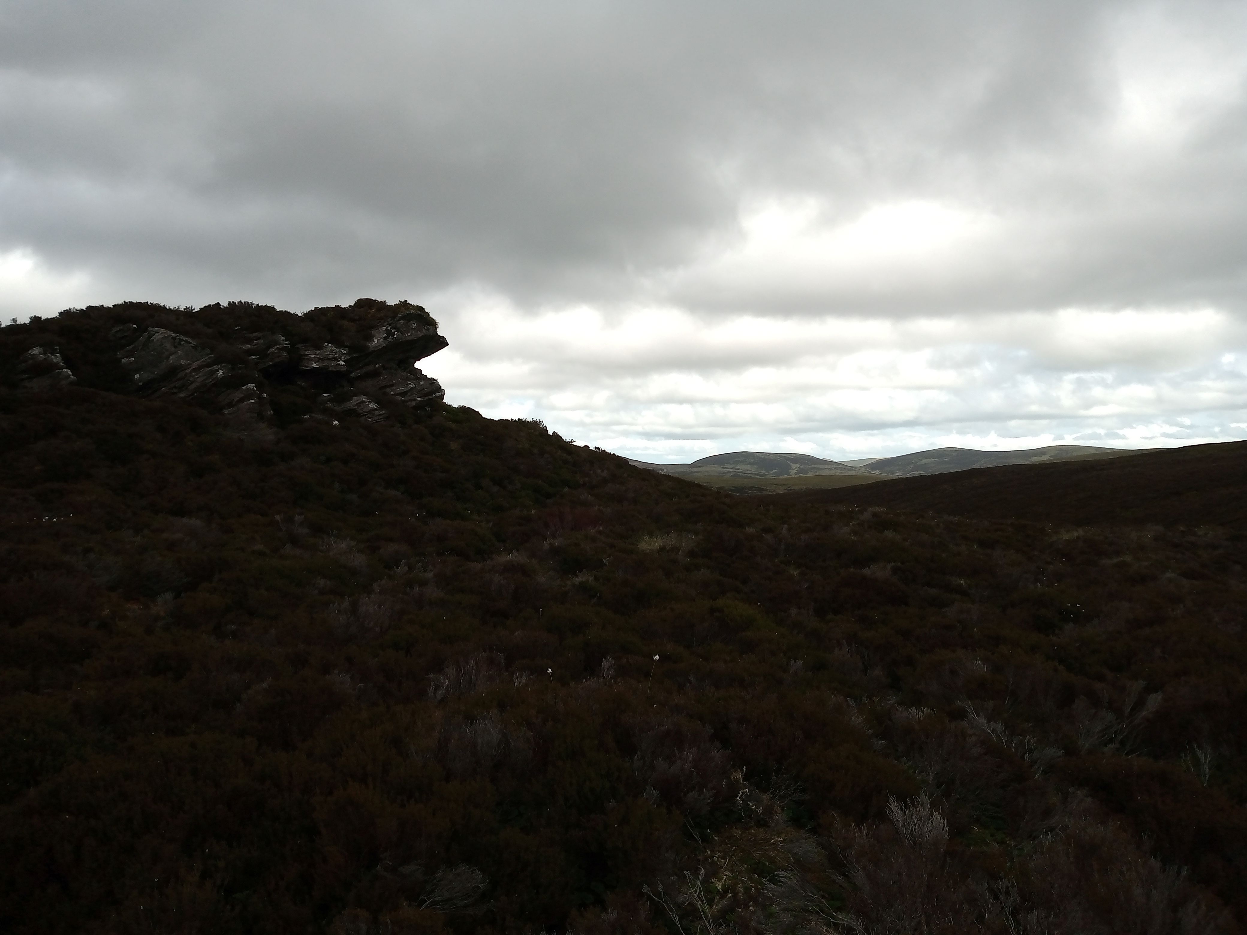
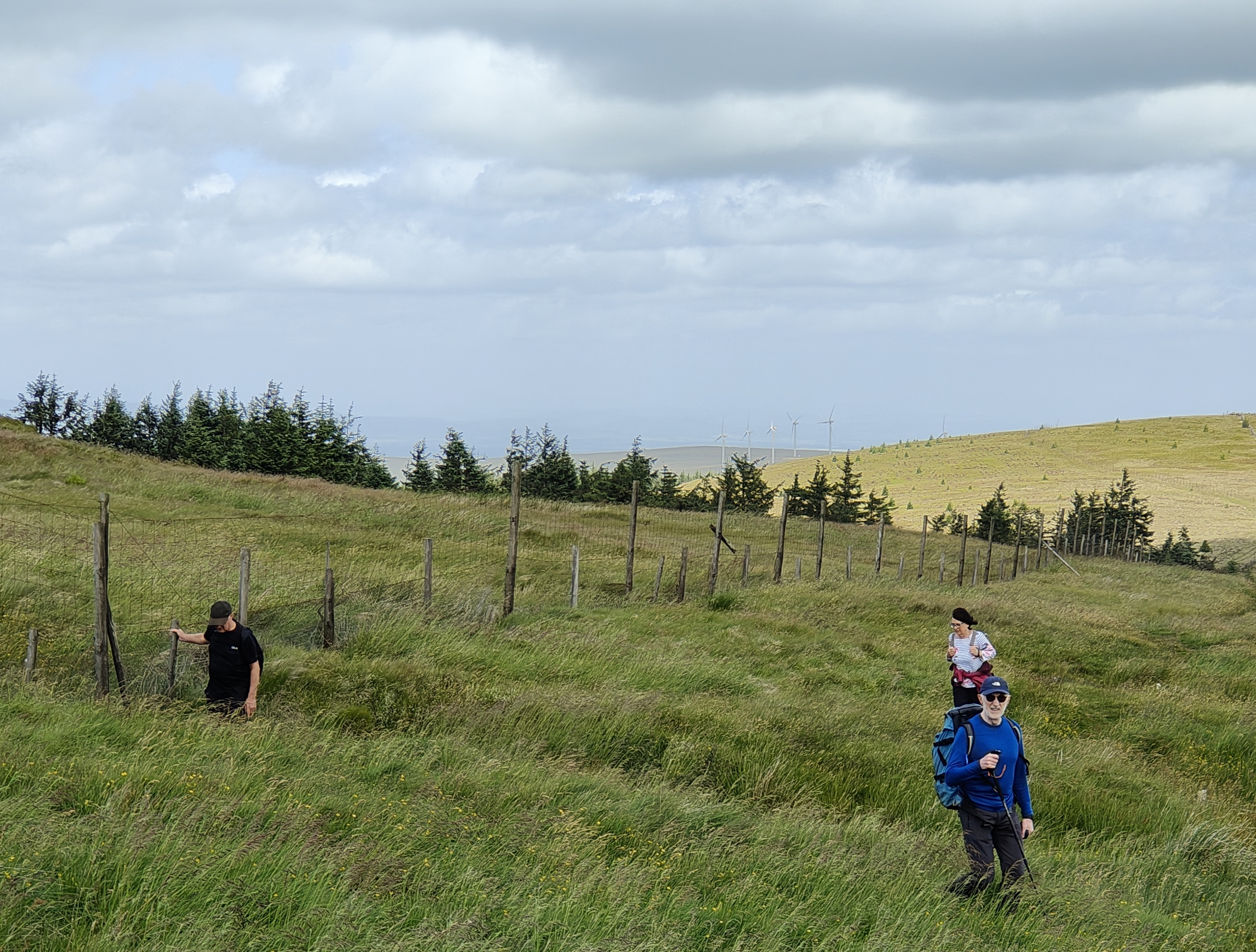
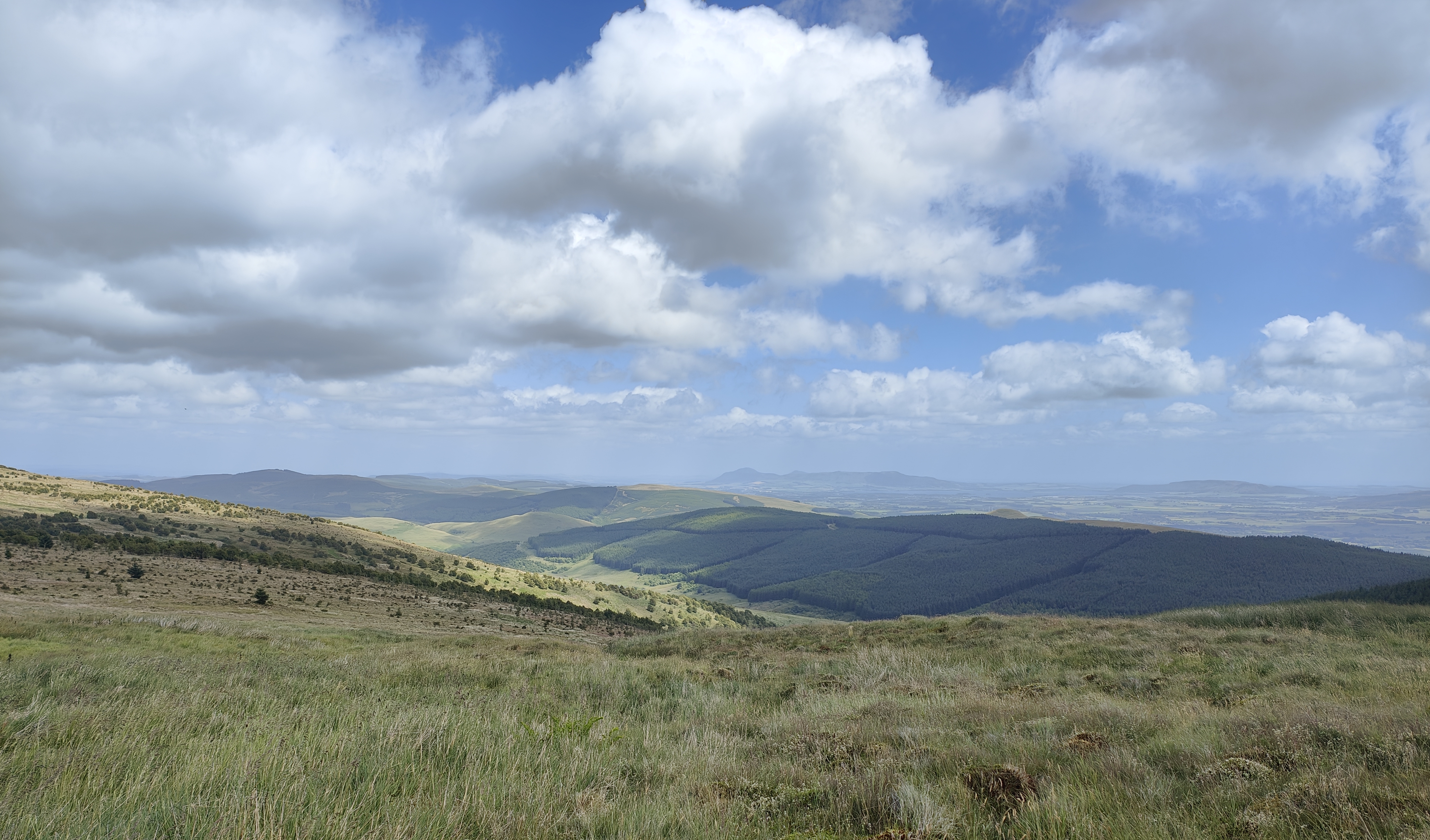
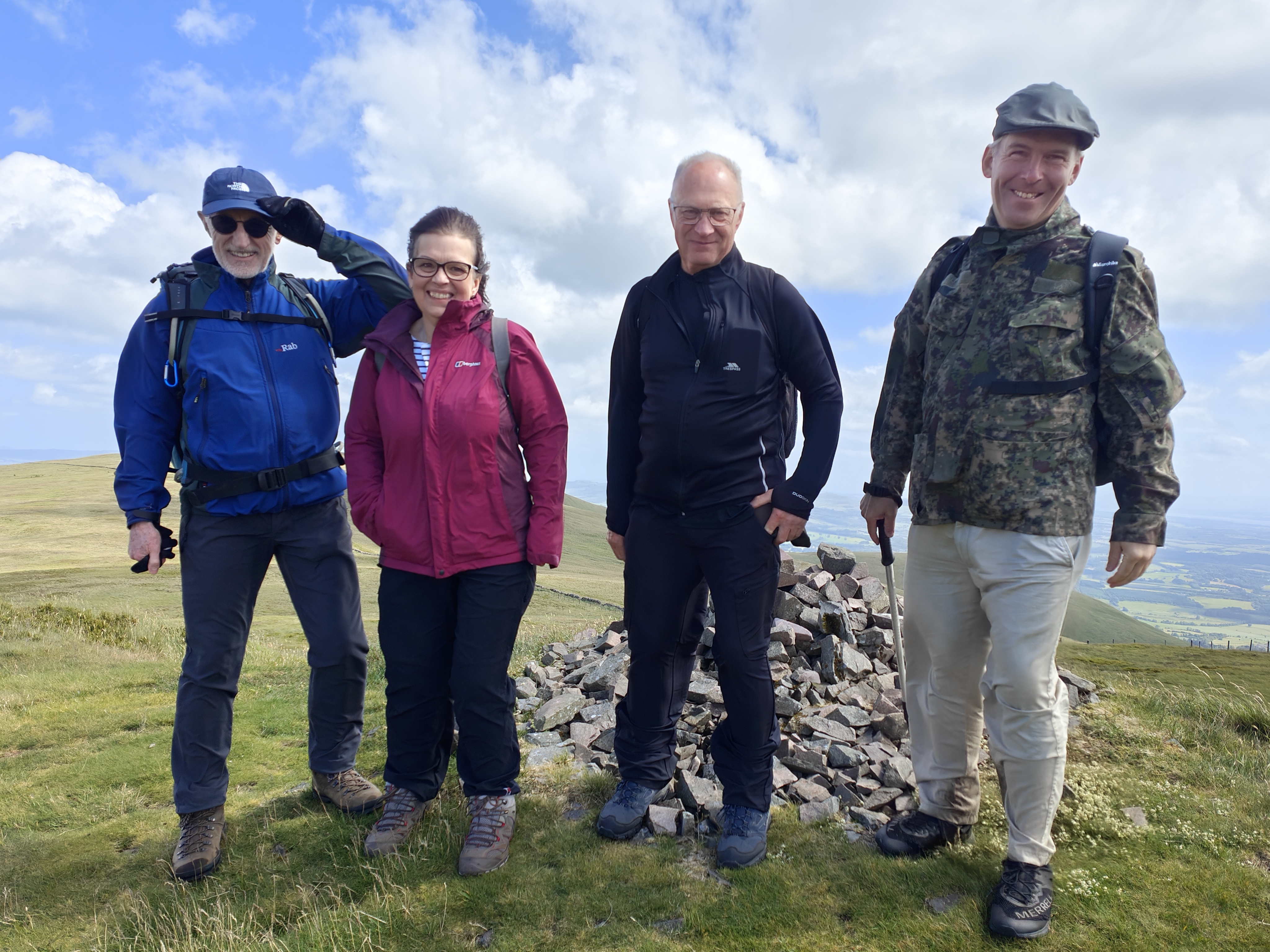
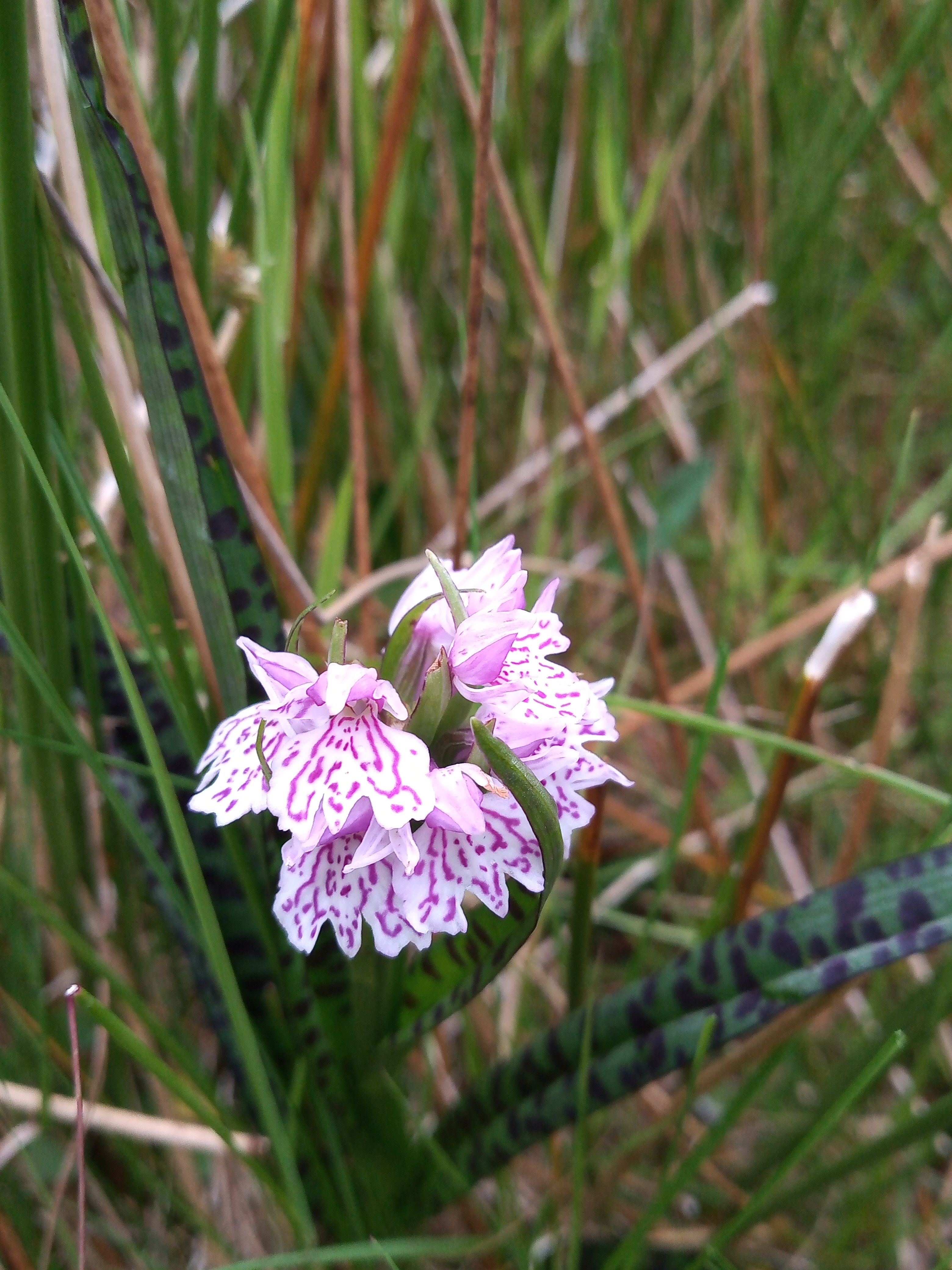
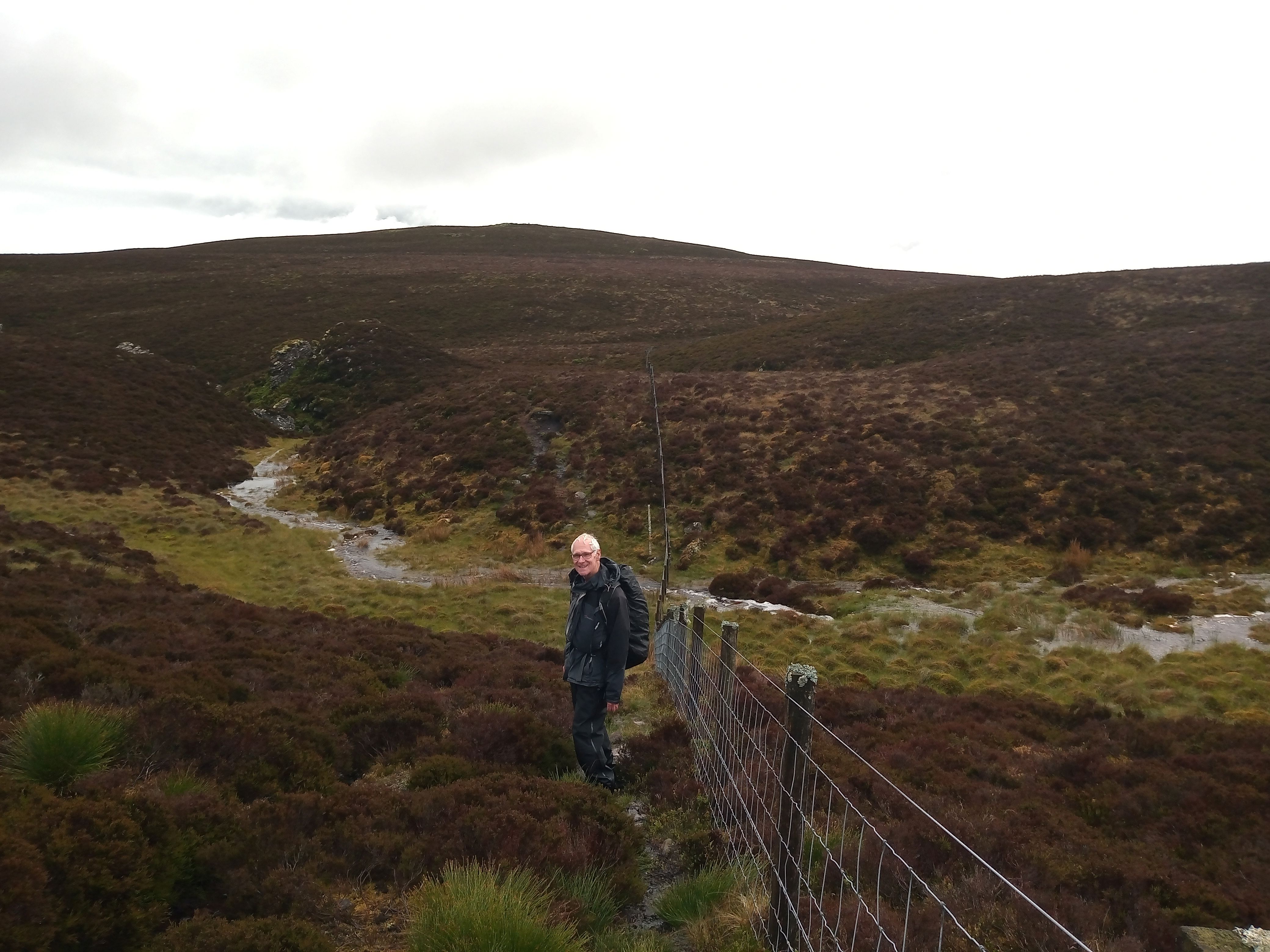
Two members of the Biggar Ramblers walked along the Old Drove Road, passing Baddinsgill Reservoir and continuing uphill along the track toward the Cauldstane Slap. Then climbing the boggy slopes of West Cairn Hill, the summit (562m) was reached. From the summit, the path continued and led to the undulating ridge of Cloven Craig and then continued on toward Colzium Hill.
Descending from Colzium Hill, a boggy area at the base was reached where the distinctive rocky cleft known as Wolf Craigs came into view. After crossing the West Water Burn, a path was followed which led up to the rounded summit of Byrehope Mount. From there, the members descended along a track back toward Baddinsgill, completing this rewarding circular route.
Despite the driving rain, waterlogged sphagnum moss, thunderstorms, paths turned to rivers, and visibility reduced by low-hanging clouds, the walk was thoroughly enjoyable.
BERWICKSHIRE COAST PATH WALK DOWLAGE TO BURNMOUTH 11TH/12th JUNE
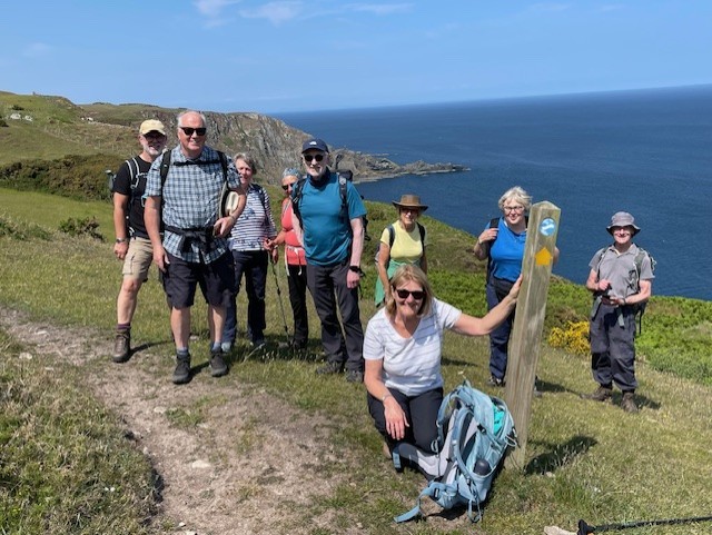
On 11th and 12thJune a group of ten Biggar Ramblers walked a 16 mile section of the Berwickshire Coastal Path, split over two days with a pleasant overnight stay in the lively fishing port of Eyemouth.
Our first day’s walk was a 7 mile walk with lots of ups and downs, taking us from a hamlet at Dowlage to the pretty village of St Abbs. The walk took us along spectacular cliffs and jagged coastline, including the lighthouse and seabird nesting sites at St Abbs Head.
The next morning, we walked 4.5 miles from St Abbs, crossing some lovely beaches and clifftops before reaching Eyemouth where we obtained lunch at a local baker. We then started our final stage with a walk along the colourful harbour area before climbing up onto the exposed coastline beside Eyemouth Golf Course. The walk continued to take us along some spectacular high cliffs before descending to take us into the quiet Harbour of Burnmouth, the end of our trip.
We enjoyed great weather throughout, enabling us to experience this beautiful coast at it’s best and give us some great memories.
Greenock Cut Walk - 5th June
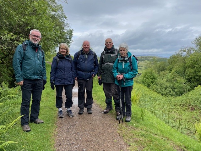
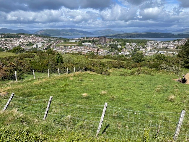
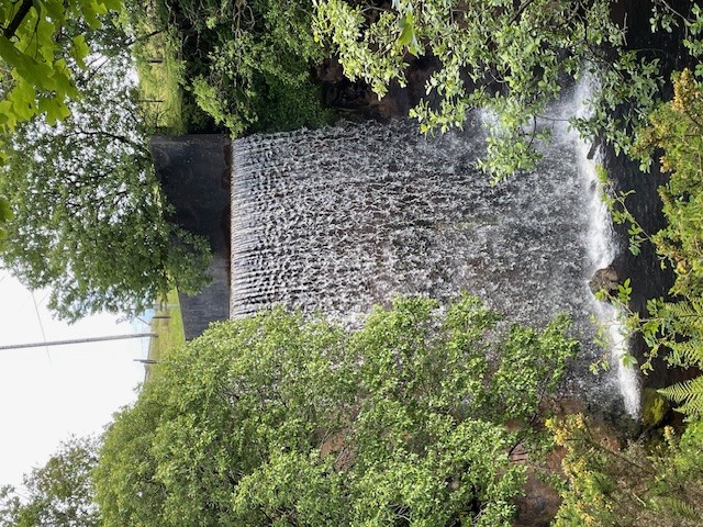
Six members of Biggar Ramblers travelled to new territory up to Greenock to walk along the length of the Greenock Cut. This Victorian engineering feat supplied water to both the population and the many mill industries prevalent in Greenock during the 19th century. The walk started alongside the Compensation reservoir rising slowly to a higher level to find the larger Thom Loch, named after the engineer, Robert Thom, who surveyed and built the Cut. As we descended to Overton, panoramic views opened up over Greenock, across the Clyde estuary and to the peaks of the Trossachs and beyond. The group then turned westwards and followed the Cut, punctuated by many stone bridges, rising gently with views over Gourock, looking down over the redundant footprint of the many industries which thrived in this area over 100 years ago. These included flour, paper, flax and woollen mills, rope-works, foundries and sugar refineries. As the water full Cut turned back inland the group very quickly found themselves back at the Greenock Cut Centre from whence they had started their very satisfying 7 mile trek.
Multi peak Pentlands Walk - 31st May
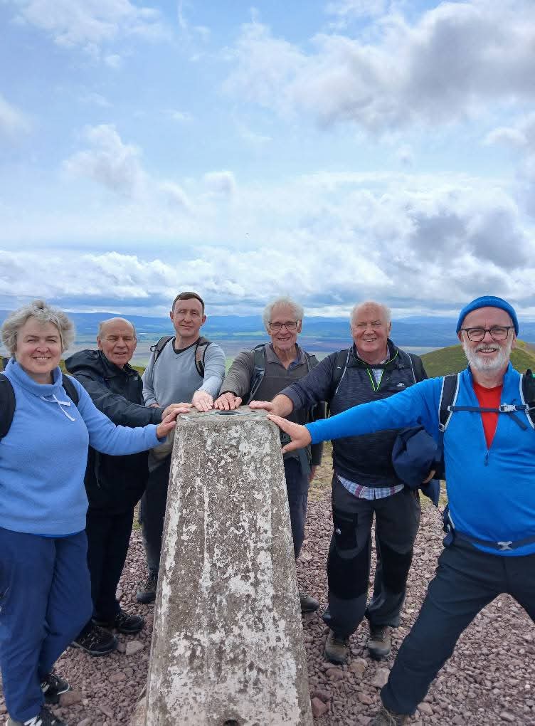
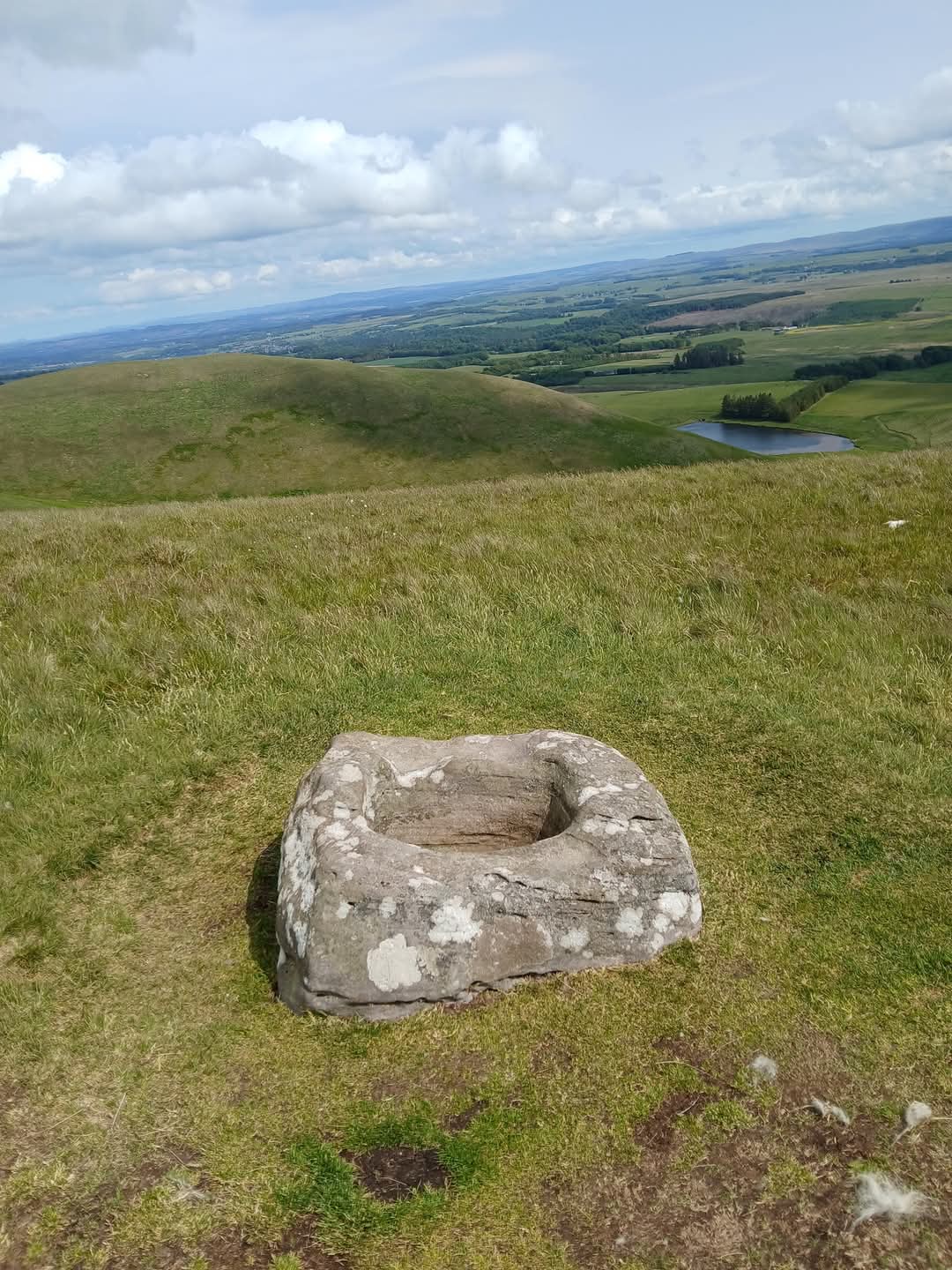
Seven members of Biggar Ramblers set out on this classic Pentlands Walk from Flotterstone to Nine Mile Burn. Cars were parked at Nine Mile Burn and the bus was taken to Flotterstone for the start of the walk. There was first a steady climb up to Turnhouse Hill, followed by an easier section to the foot of Carnethy Hill, where a sheltered spot was found for a coffee break.There was then another climb up to Carnethy Hill, from where wonderful views opened up as far as North Berwick to the East and the Forth Bridges and Fife to the North. There was then a descent to The Grain Burn and the Old Kirk Road which used to be used by worshippers going to church in Penicuik. The walk now continued with a good climb up to Scald Law, the highest point on the day's walk. Despite a fresh breeze, a good spot was found for lunch, looking out over the Forth and the hills beyond. The wind was now freshening and some of the strong gusts meant that the ascent of the final two peaks, East Kip and West Kip proved trickier than expected. The final part of the walk was over Cap Law, passing the ancient Font Stone, arriving back at the parked cars at Nine Mile Burn. All agreed that this had been a challenging but most enjoyable walk.
St CUTHBERT’S WAY MELROSE TO ST BOSWELL’S - SATURDAY 17th MAY
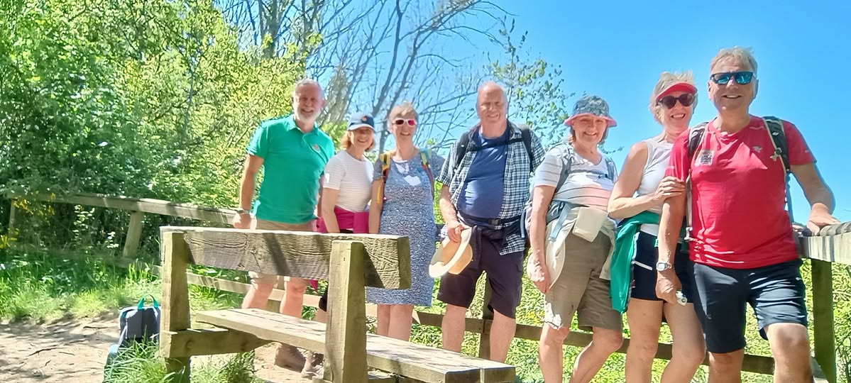
On Saturday 17th May a group of 7 Biggar Ramblers enjoyed a lovely 7 mile walk in the Borders, completing the 1st stage of the St Cuthbert’s Way Path which winds across the Borders from Melrose to Lindisfarne in Northumberland. We walked from Melrose to St Boswell’s, initially climbing up over the iconic Eildon Hills and then down through shady woodland to the pretty village of Bowden where we had a lunch stop and a visit to historic Bowden Kirk. We continued the flower bedecked path through to Newton St Bothwells and on until we joined the Tweed. We completed the walk along the riverside into St Boswell’s before getting a bus back to bustling Melrose. A great walk on a glorious Spring day.
Allen Banks and Staward Gorge - Saturday 10th May
On the 2nd Day of the Ramblers weekend away in Hexham, this was a walk of two distinct parts. The first part was a leisurely stroll along the river Allen in lovely woodland which included oak, ash, birch, hazel, and holly. Many birds could be heard, but of special interest was the loud song of a pied flycatcher, high up in the trees. The river was crossed at Plankey Mill where a coffee break was taken and some stone skimming was practiced.
The group now split in two, some returning while the more adventurous continued further up the river into Staward Gorge. The gorge was left on reaching the A686 and after a short section on the road, the return route was taken across open fields passing the remains of the interestingly named ruin of 'Gingle Pot'. Returning back into the woodland, standing on a precipitous spur, the remains of Staward peel were reached. Between 1272 and 1384, during the Scottish Wars of Independence and much of the Hundred Years War this was a virtually impregnable tower complex and thereafter a monastic retreat. Although impressive, not much of the original structure could be seen as much of the stone had been taken to build the nearby Staward Manor. Continuing back towards the river, the path now joined the outward route back to Plankey Mill and Allen Banks. This had been a good 9 mile walk, passing through several different and interesting areas.
Hadrian's Wall from Steel Rigg - 9th May
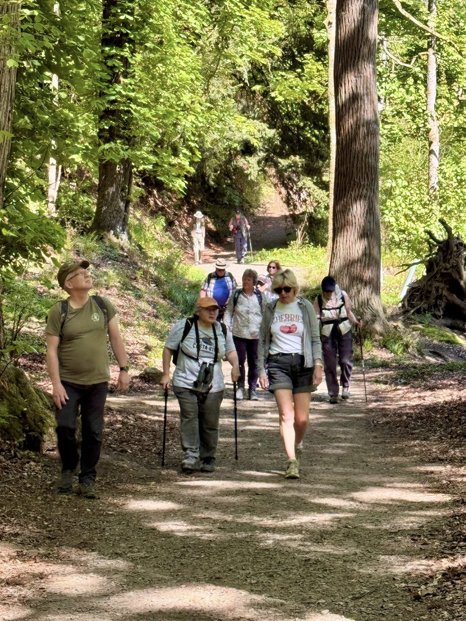
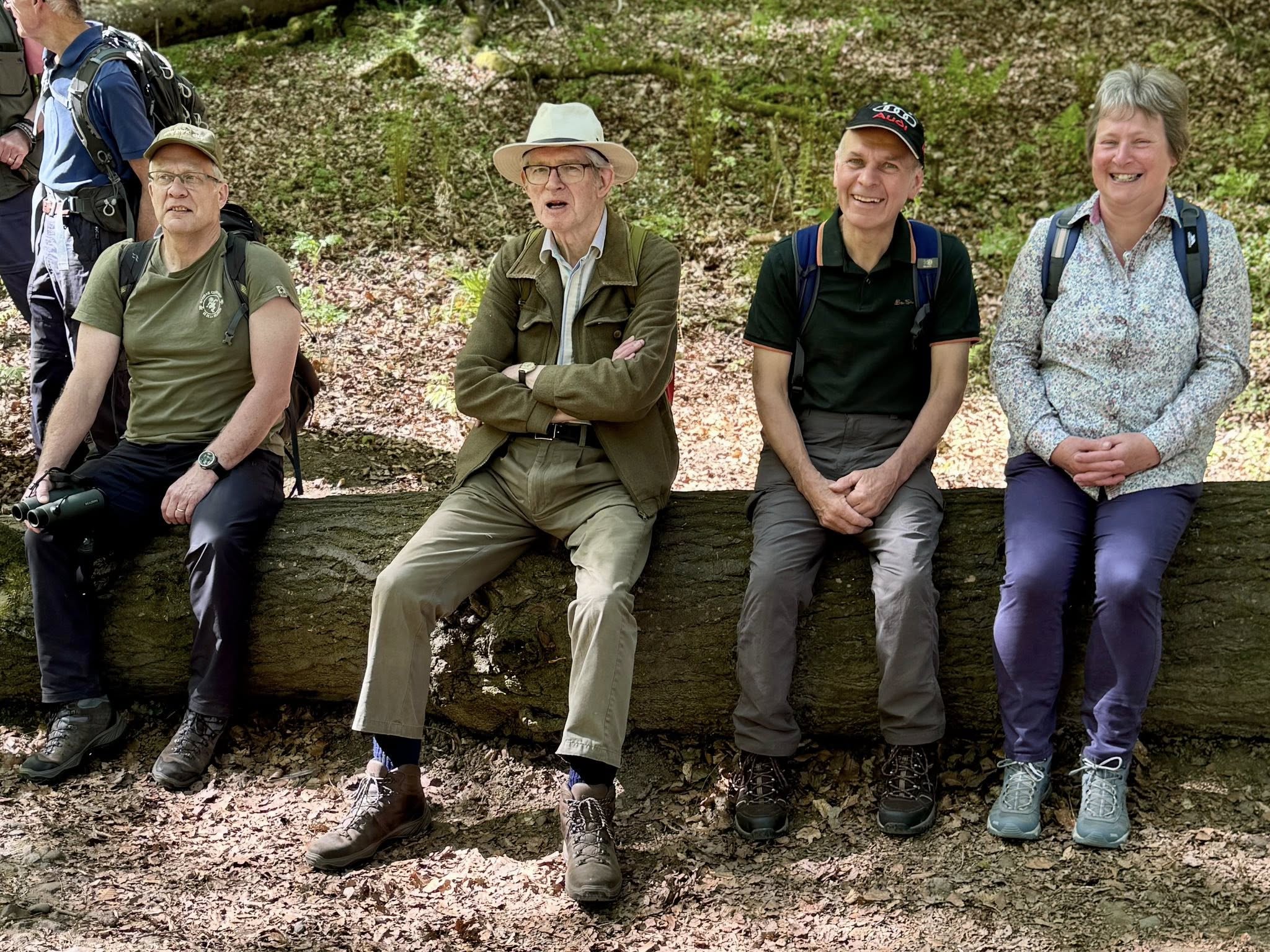
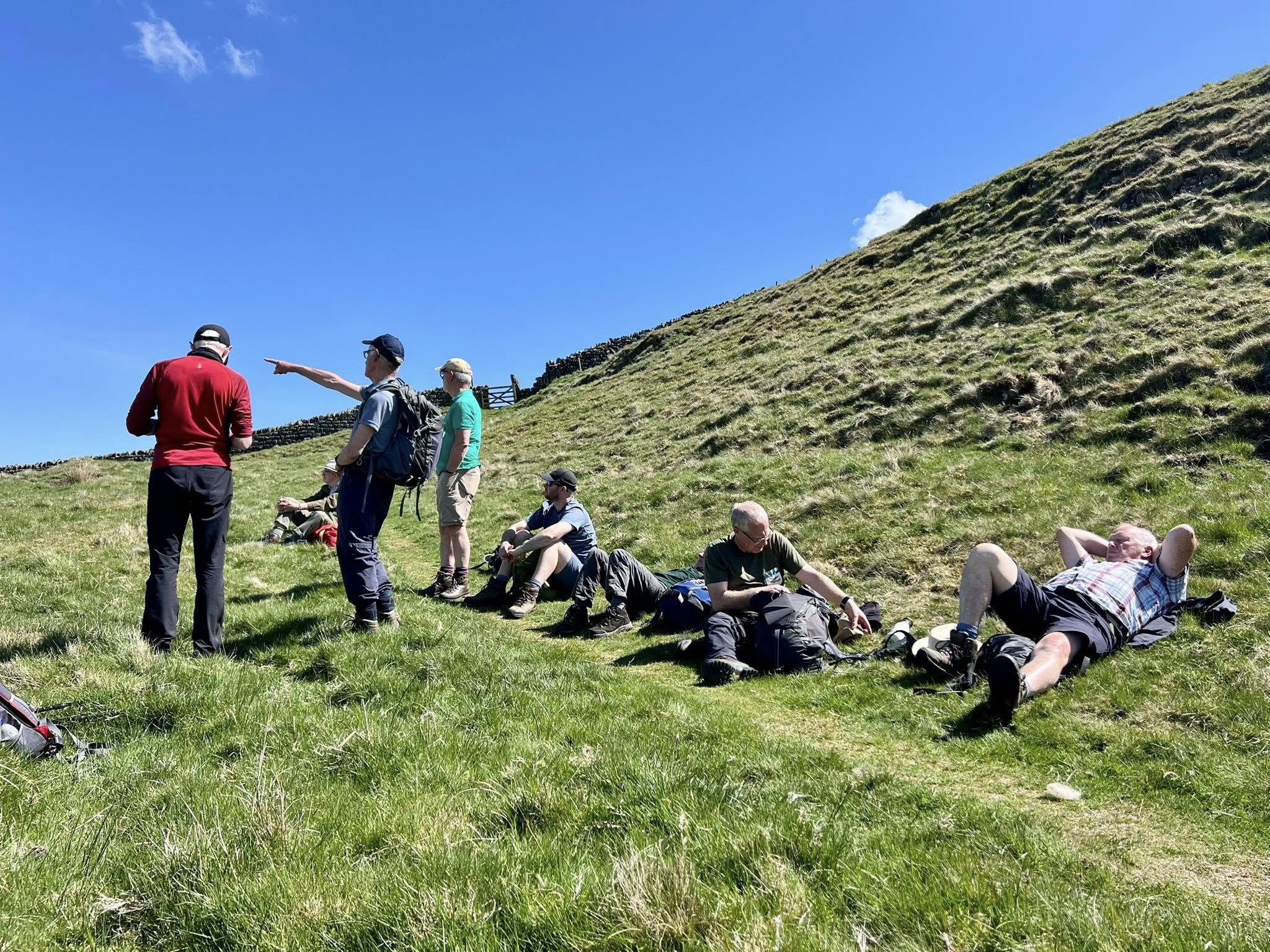
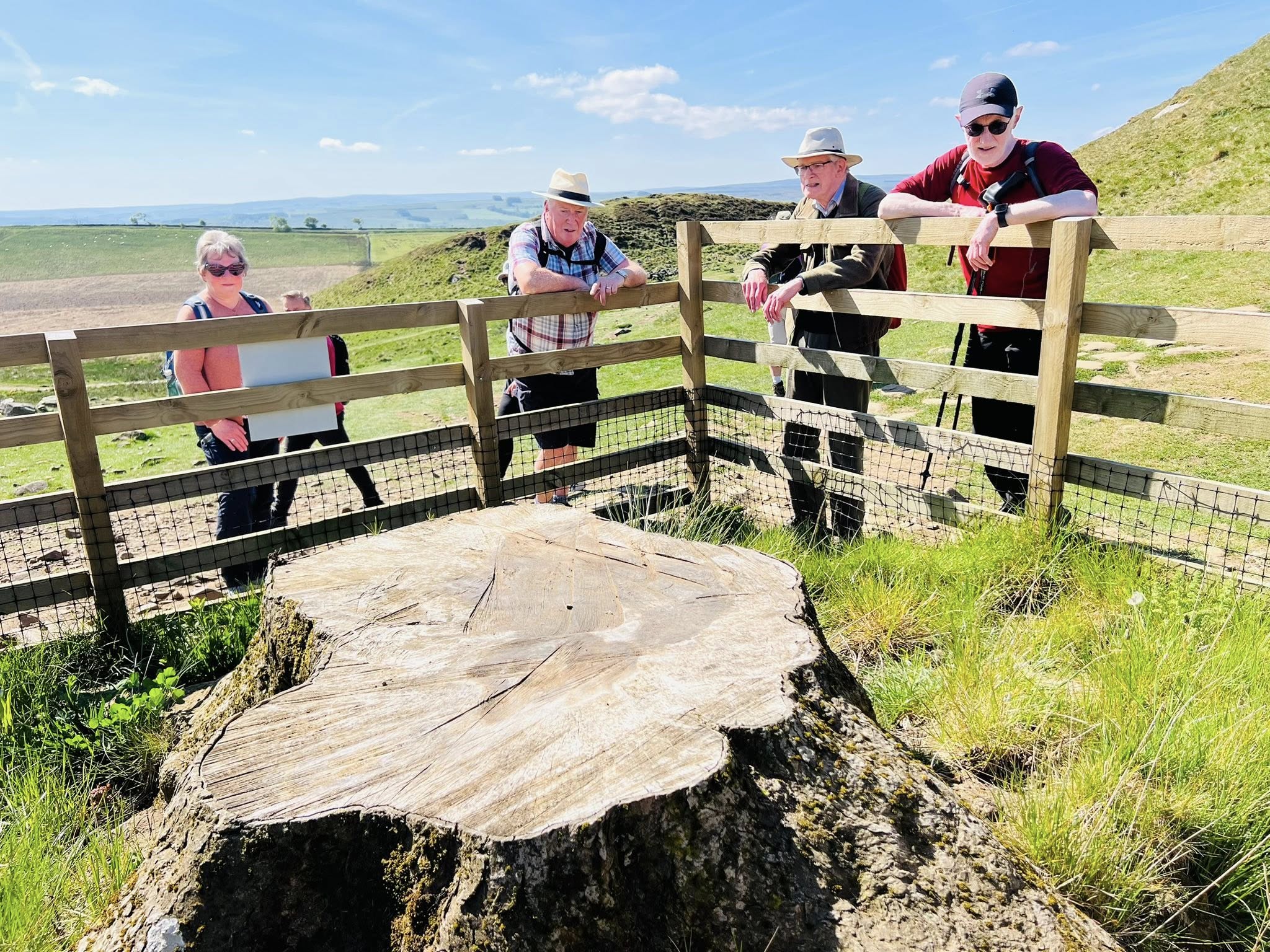
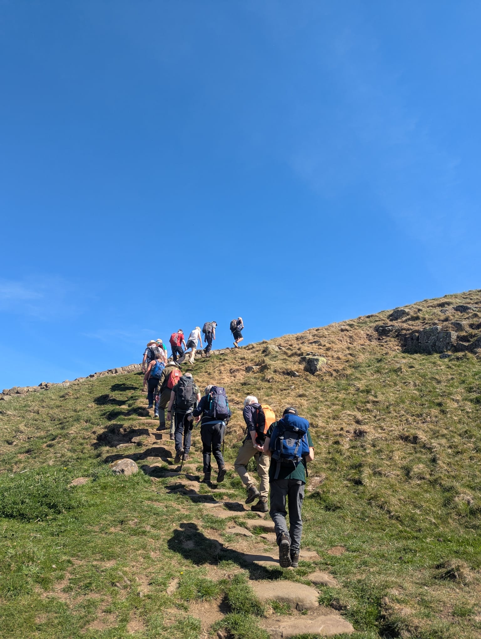
On the first full day of our weekend away at Hexham, an adventurous group of Biggar Ramblers set out on a challenging 8 mile walk along Hadrian's Wall. The walk started at Steel Rigg from where we quickly arrived at some very steep steps to reach the top of the wall. The first point of interest was Sycamore Gap - how sad it was to see just a large stump where a proud tree once stood. One or two new shoots could be seen, so hopefuly, given time, the sycamore will again be there for all to admire. Continuing along the wall, there was fantastic scenery to both north and south. The next point of interest was the remains of the Roman fort of Housesteads, situated on the end of the long crag of Whin Sill. Evidently, this was the largest of all the Roman forts in Britain.
After a further couple of miles, the group dropped down off the wall to begin their return at low level to the north of the wall. After all the steep steps, the going was much easier now, and looking up from below, the wall looked truly impressive. Half way along, the path crossed the Pennine Way, and shortly aftrwards a lime kiln was reached - standing on top of it providing good views all round! Towards the end of the walk, the lovely sound of a cuckoo could be heard - the perfect end to a lovely walk, made all the better by the sunny weather.
Soonhope & Venlaw Circular – Saturday 26 April 2025
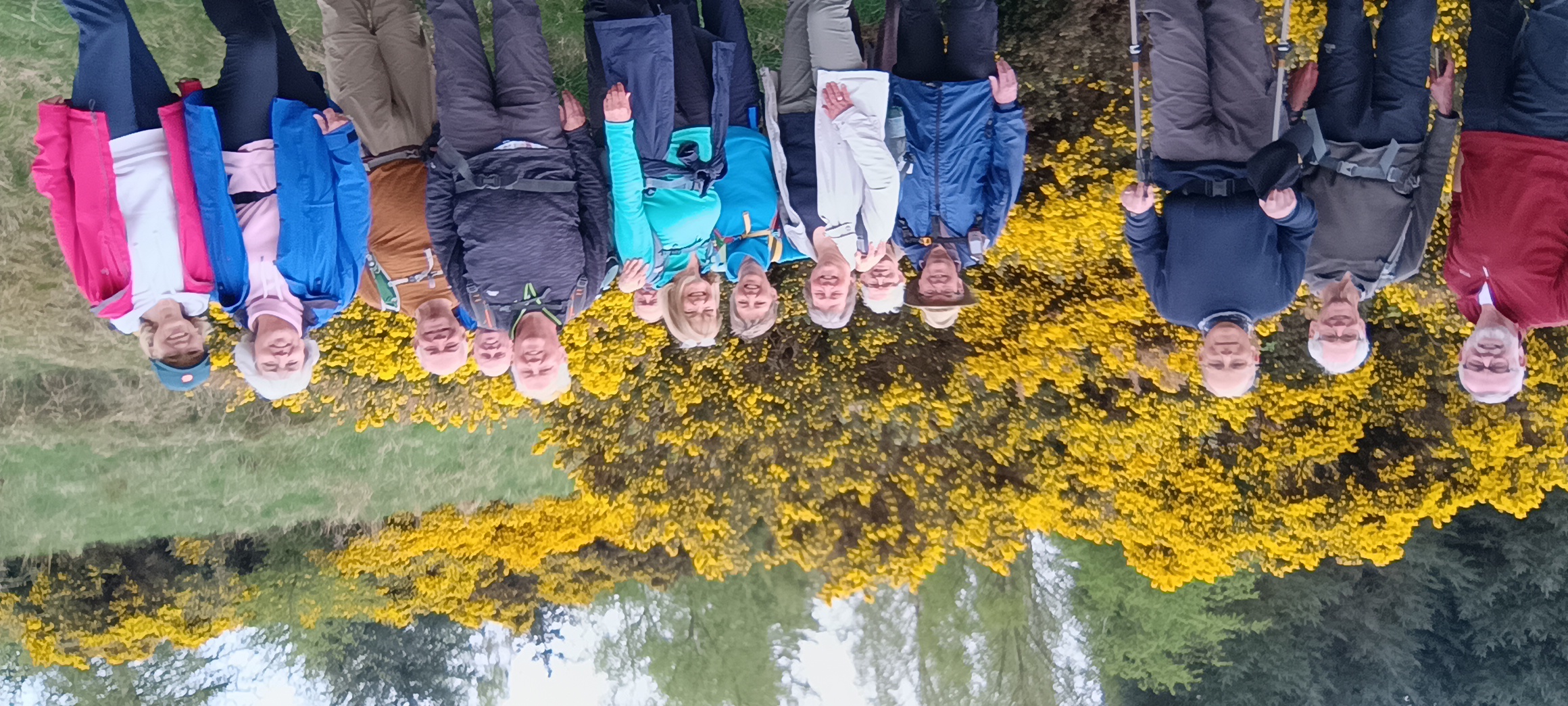
Fourteen members of the Biggar Ramblers enjoyed a lovely circular walk through a popular glen near Peebles. The route followed the River Tweed along the new Tweed Trail—a shared-use path from Priorsford Bridge through Whitestone Park to the A72.
From there, the group continued alongside Soonhope Burn on the east side of the glen, where they passed a number of chalets, many of which were built post-war by ex-servicemen and their families. As they made their way through the quiet valley, the air was filled with the strong, sweet scent of vibrant yellow gorse. Looking back, they were rewarded with sweeping views across to Hundleshope Heights.
The walk then continued past Whitfold Hill and beneath Venlaw Hill, before returning to Kingsmeadows car park.
MITCHELL HILL AND COW CASTLE - 10th APRIL
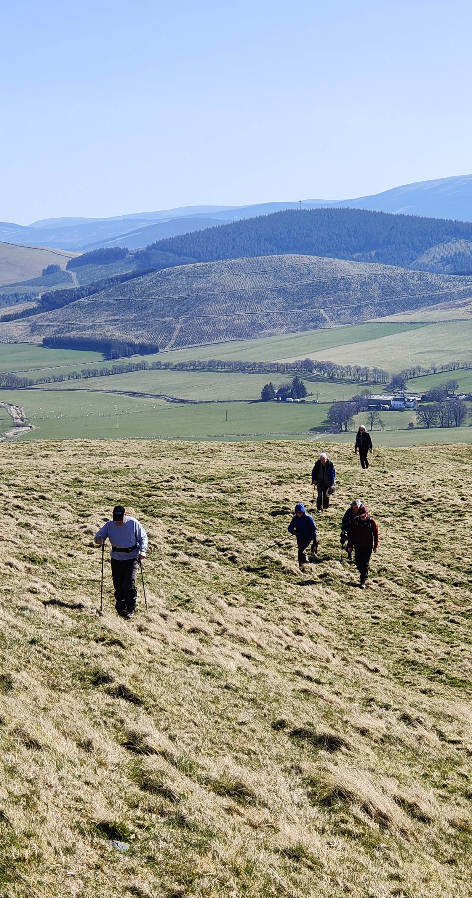 On Thursday l0th a group of 8 Biggar Ramblers completed a great 6 mile local walk among some of the foothills around Coulter Fell. We parked by Coulter Water and followed the burn up past Nisbet farm and into the hidden path behind. We passed Cow Castle, site of an old Iron Age fort, and then continued on by White Hill and Mitchell Hill on a secluded path and farm tracks. After Mitchell Hill Farm the path opened out to beautiful views towards Broughton Heights and the surrounding hills. We climbed up the slopes to the Mitchell Hill Rings, another hill fort site, where we had coffee and a break to savour the views. Next was a bracing ridge walk over Mitchell Hill and White Hill summits before descending to pick up the path and walk back to our start point. An invigorating morning walk to enjoy some of the splendid scenery in our area.

Innerleithen, Walkerburn and Pirn Law - 13th April
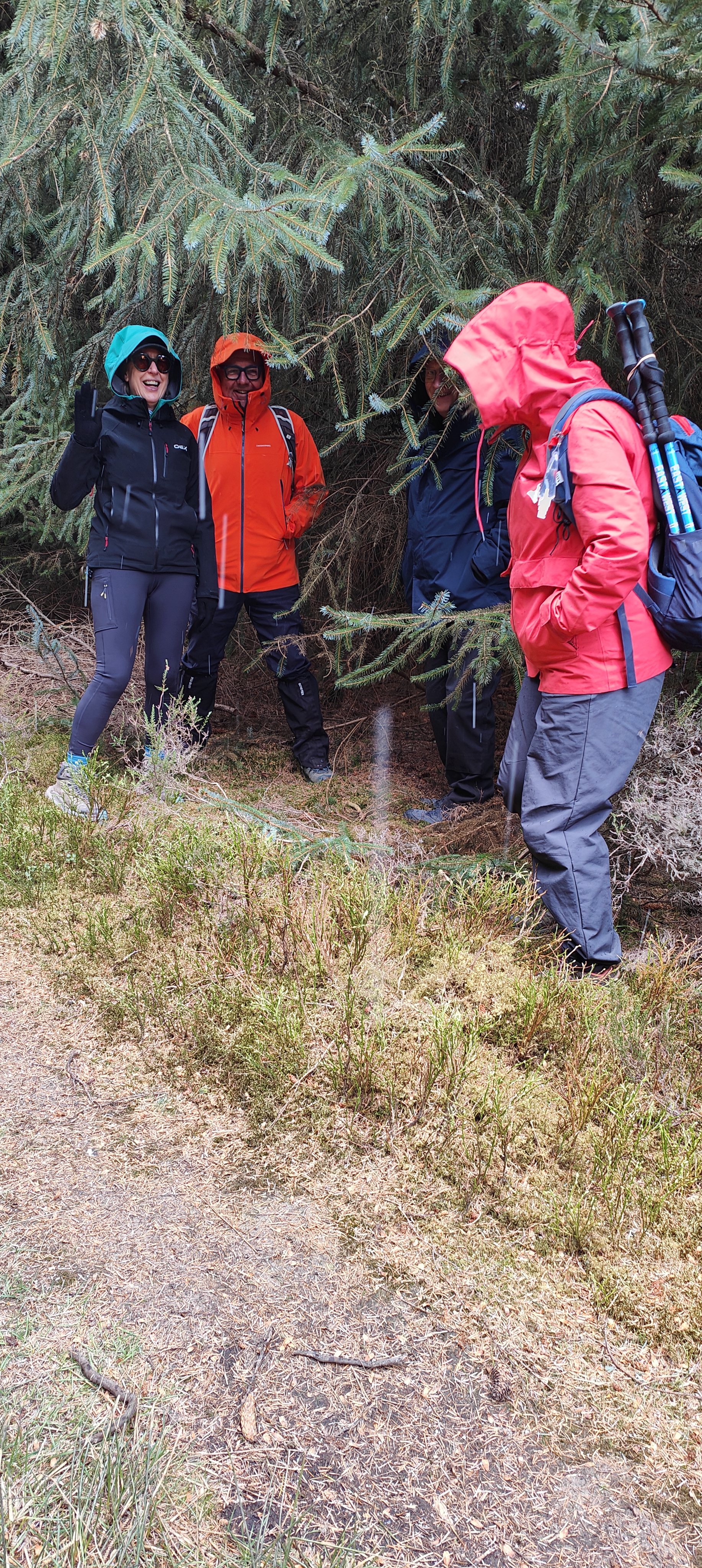
This was a lovely walk offering mixed scenery with great views, enjoyed in good weather by five members of Biggar Ramblers. The walk started from the centre of Innerleithen and followed a metalled path along the banks of the Tweed to Walkerburn. From Walkerburn the group climbed the valley beside the Walker Burn up to Priesthope, first of all in the open valley, and then into coniferous plantation (not too dense). The path then headed West, leaving the trees at Pirn Law, where a fairly steep narrow path led back down to Innerleithen. Half way down this path an open part was found for lunch affording fantastic views all round.
Of particular interest was the crossing of the Lethen Water at the end of the walk. This was the Cuddy Brig which dates back to 1701 and was a 'stipend bridge', built with funds from a vacant ministry in the area.
Duchess Drive - 6th April
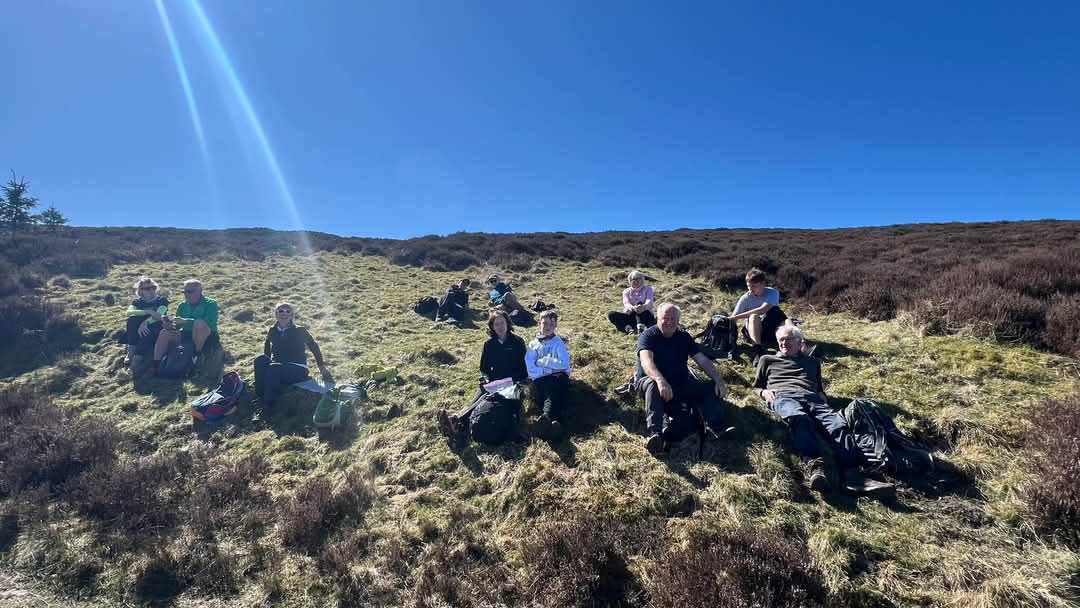
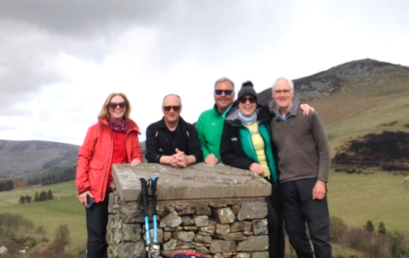
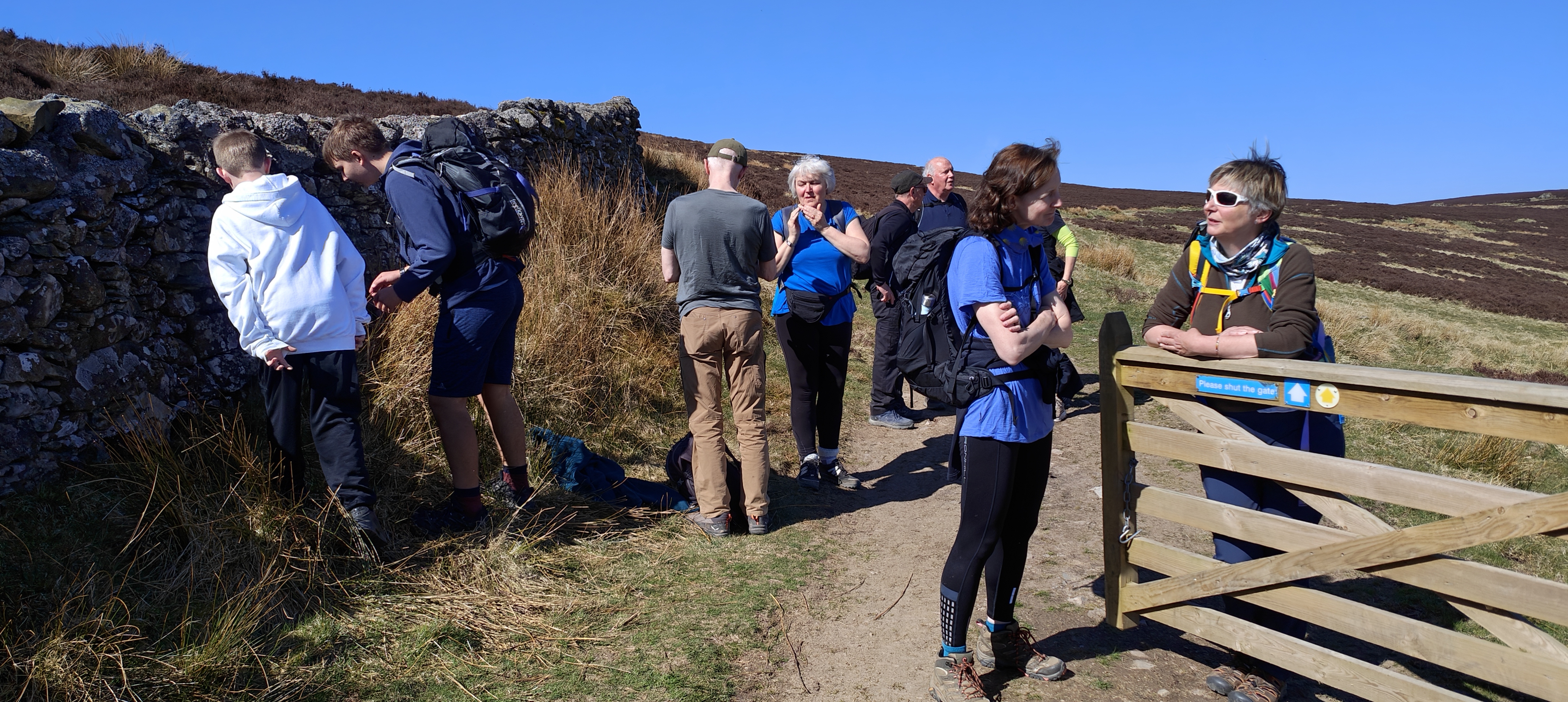
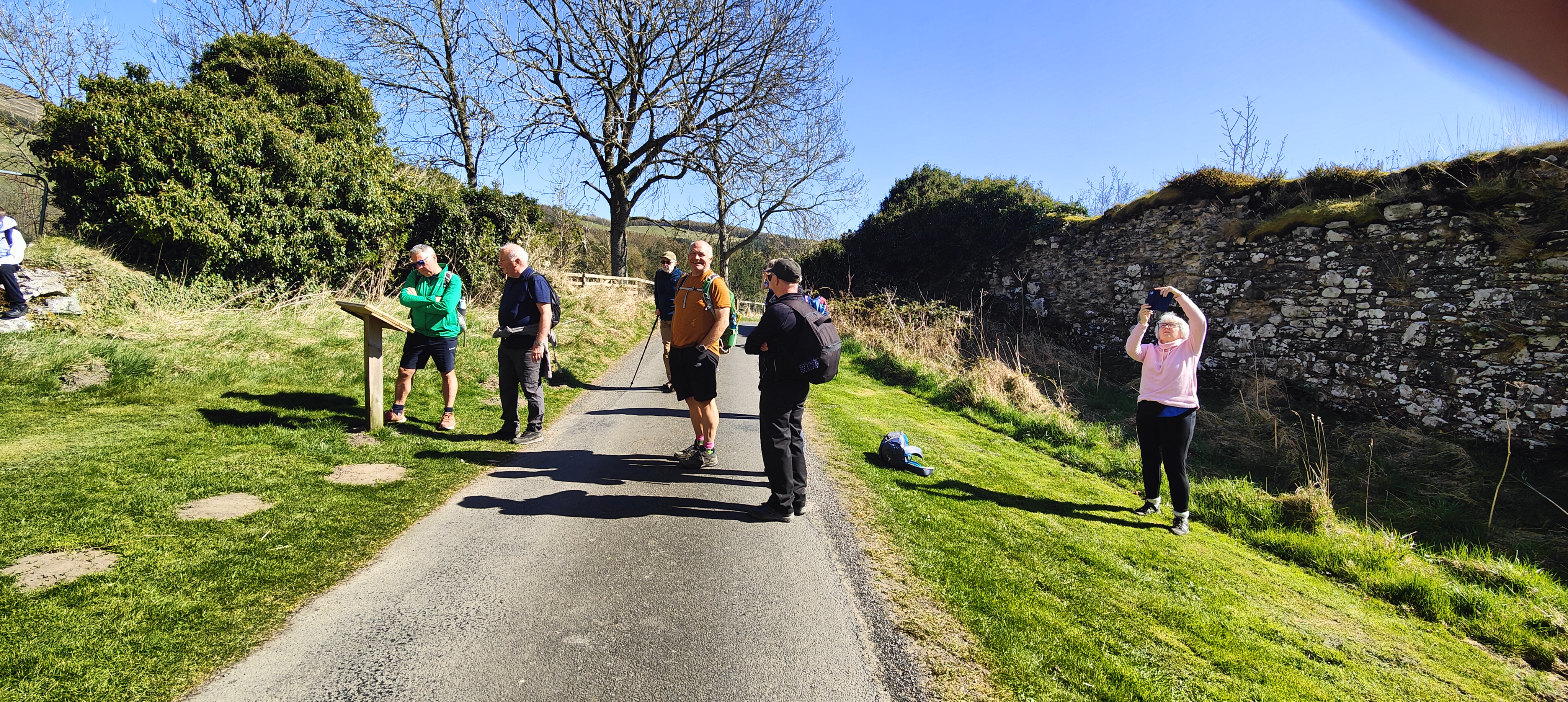
On a glorious sunny morning, 12 ramblers set out on this 8 mile walk which follows the route of a Victorian Carriage drive and provides a feeling of space, openness and views of hillwalking whilst having an easy track underfoot.
The walk started by going through open mature woodland, passing a stone seat, carved with the letters BQ - which stands for the Duke of Buccleuch and Queensbury. Leaving the plantation, the drive continued onto open moorland, where looking back, wonderful views opened up, including the triple summits of the Eildon Hills. The route continued to climb, passing between Fauldshope Hill and Fastheugh Hill, and then past Newark Hill. A lunch break was taken at this point, during which one of our younger membes gave an expert demonstration of drone flying. Also in the sky was a red kite, circling effortlessly on thermals. The path now descended gently to reach Black Arrow Wood. From here a minor road was taken, passing the imposing ruin of NewarkCastle which was built in 1423 by the Douglas family. In 1645, it was involved in the Battle of Philliphaugh in the Covenanter's wars when 100 prisoners were slaughtered in the courtyard. The group now left the Duchess Drive to take a path down to the river where they were tempted to participate in a game of pooh sticks and stone skimming before arriving back at the carpark.
CLYDE WALKWAY AND FIDDLERS GILL WEDNESDAY 2nd APRIL 2025
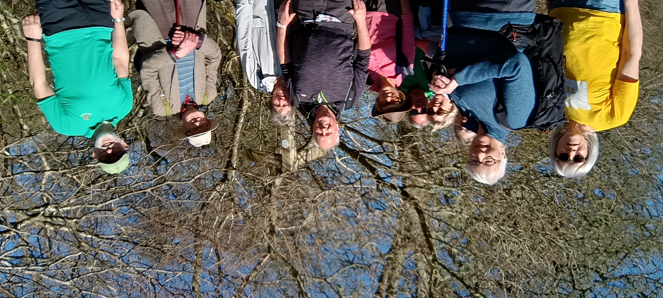
On Wednesday 2nd April a group of 10 Biggar Ramblers enjoyed a 7 mile walk in the Clyde Valley from Crossford, a fertile area known for orchards and fruit growing since Roman times. It was a sunny day and we initially walked west by the river before joining a minor road which climbed steeply up towards Braidwood. We walked through Braidwood where we enjoyed a lunch by the local beauty spot of Braidwood Loch. After lunch we walked past the school to join a good path, which took us gradually down a steep ravine, across the Fiddlers Burn and the Lee Estate back to Crossford. A lovely spring walk with a variety of scenery and great views throughout.
St Mary's Loch - 29th March
Seven walkers from Biggar Ramblers recently enjoyed a sunny, windy then very wet ramble around the beautiful St Mary's Loch, east of Moffat. With great views of the hills surrounding the water and the cheery spring bird song, even the rain couldn't dampen their spirits.
Muirkirk and Kames - 12th March
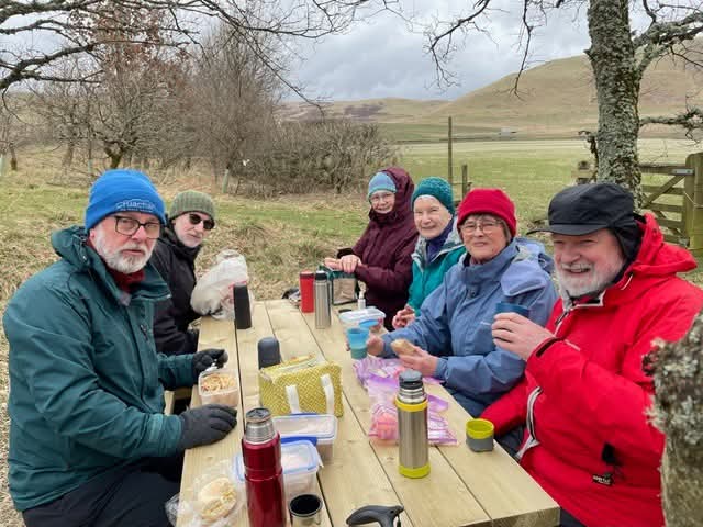
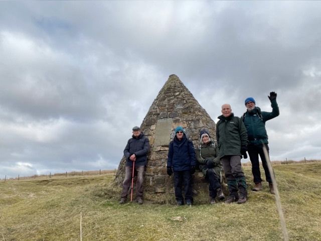
Five members of Biggar Ramblers undertook a 4 mile ramble on Wednesday 12th March which covered much of the industrial archeology history of Muirkirk and Kames over the last 250 years. The first half of the walk included a route along the old Victorian railway track of the Auckinleck to Lanark branch line, running alongside the hollowed out canal basin of the late 18th century short waterways which serviced the iron ore and coal mining network. The second part of the walk revealed further evidence of the matrix of tramways to different mining areas, but particularly amongst the plethora of bell pit coal shafts which littered the moorland adjacent to the cairn memorial to John Loudon MacAdam. This was built with the stones which once supported the 34 tar kilns, which produced the tar included in his many road construction experiments in that local area. After all this industrial history the group headed down to Tibbie’s Brig, once the home of local poet, Tibbie Pagan, where they enjoyed their picnic lunch. The return route to the car park passed the site of the former Kames miners’ welfare Institute, now a derelict shadow of its former glory. 5000 used to work on this rugged hillside.
Darnick, Rhymer's Glen and Cauldshbiels Loch - 8th March
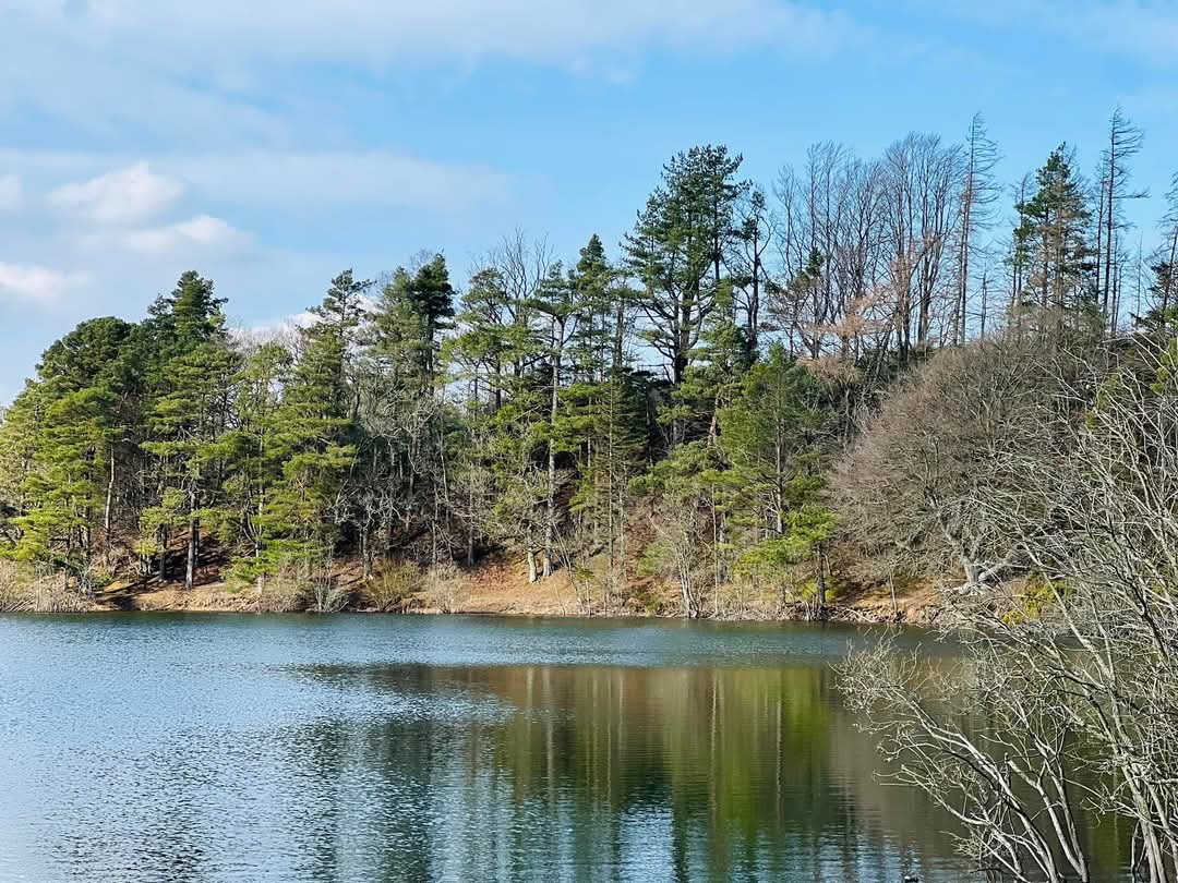
On a wonderfully warm and sunny spring morning, 11 members of Biggar Ramblers set out to explore the Abbotsford Estate.
The walk started at the Abbotsford Visitor Centre along part of the Borders Abbeys Way (BAW) and along a minor road to Darnick where the local community looks after their woodland which contains several marked trails. After passing close to Borders General Hospital, the route took the group to Rhymer's Glen, once one of the most popular walks from Melrose and a favourite of Sir Walter Scott. After the glen, the walk continued over Bowdenmoor and down to the lovely Cauldshiels Loch where lunch was taken looking out across the water. Leaving the loch, the route passed Faldonside Loch which is categorised as a Site of Special Scientific Interest because it is an important wildfowl roost. The path then crossed a field to join the riverside track back to the Visitor Centre.
All agreed that this was a great walk with fantastic views along the way, made all the better with such lovely spring weather.
Glenmidge - 27th February
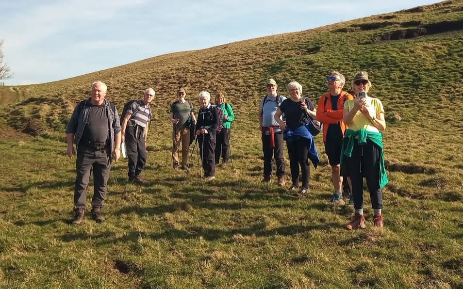
Five members of Biggar Ramblers drove across the county border to Dumfries and Galloway to walk in new territory for the group. Glenmidge is a small hamlet and Valley which lies west of the river Nith just south of Thornhill. The figure of eight circuit covered a little over 8 miles through undulating farmland and forest. Halfway round the ruins of the 15th century Lagg Tower is what remains of the clan Grierson stronghold. Their legacy was the ruthless pursuit of rebellious covenants during the killing time of the late 17th century. Walking through farmsteads the group met a friendly farmer very proud to show off his Suffolk flock. Extensive views of the west of Galloway and back towards the peaks of Green Lowther showed the variety of scenery on a very bright sunny, if slightly chilly, day. It is an area the group will return to explore further.
CHATELHERAULT AND THE AVON GORGE - 20th February
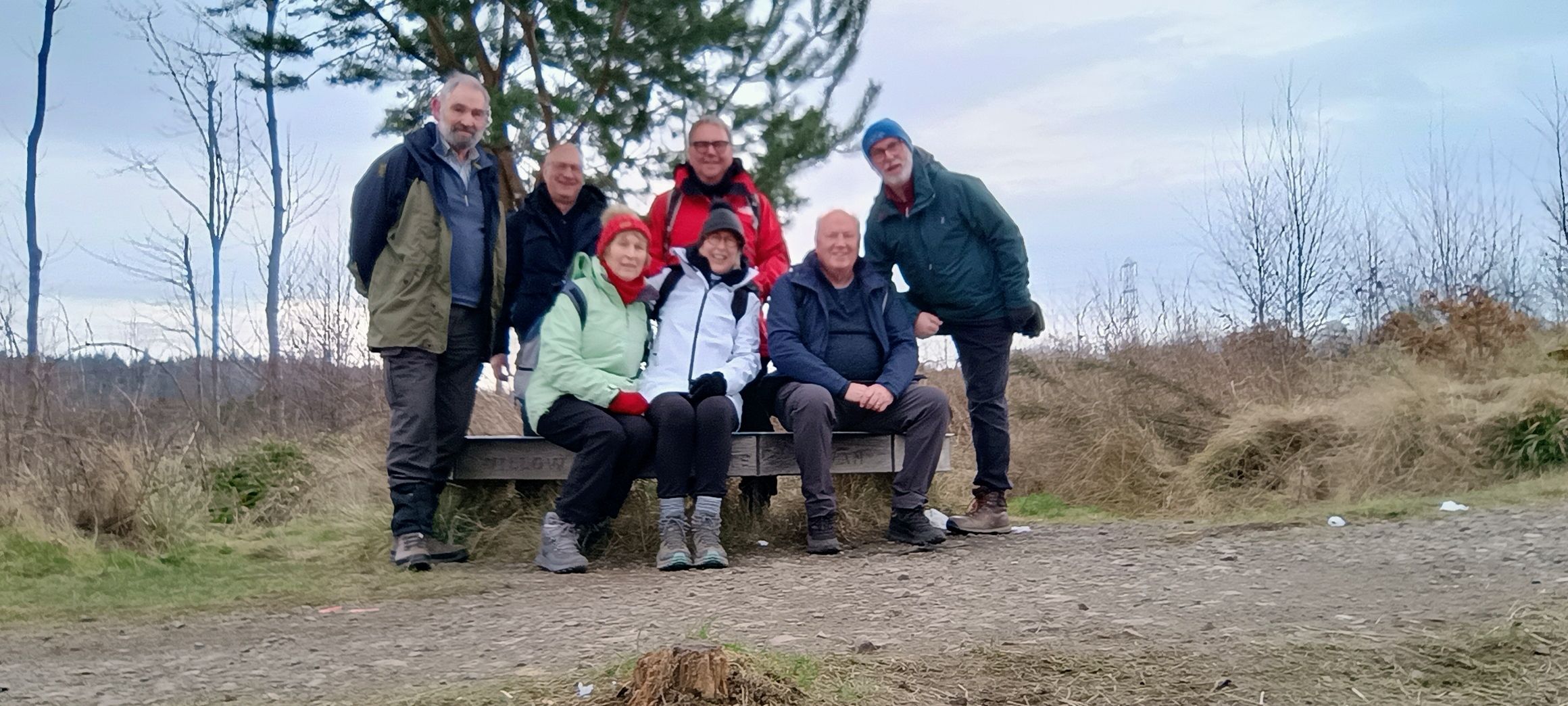
On Thursday 20th February a group of 8 Biggar Ramblers enjoyed a 5 mile walk on one of the country trails from Chatelherault Country Park. We started from the impressive 18th century hunting lodge walking on a good woodland path before descending by steps to cross Avon Water by Mary Hosie’s Bridge. On the return walk we climbed the other side of the Avon before a varied walk back. This included a number of spectacular views over the steep gorge and other features: the ancient Cadzow Oaks; the ruins of Cadzow Castle and the impressive Duke’s Bridge. On return we completed our day with lunch in the bright and spacious visitor centre and café.
Lamington to Cargill Upper Reservoir - 15th February
Members of Biggar Ramblers enjoyed an 8 mile walk recently from the old church at Lamington to Cowgill Upper Reservoir. The first stage of the walk saw the group climbing through the woods to the base of Lamington hill. There were several fallen trees enroute which had to be circumnavigated before a tea break was taken. Scots mist accompanied the walkers so that the usually extensive view was unfortunately wiped out. After a flat walk through the valley the ramblers made a sharp right turn following the farm road up to Lower and then Upper Cowgill Reservoir by which time the mist had cleared giving a great view of the reservoir and surrounding hills during the well deserved lunch break.

Broughtonknowe Woodland Walk – 6th February 2025
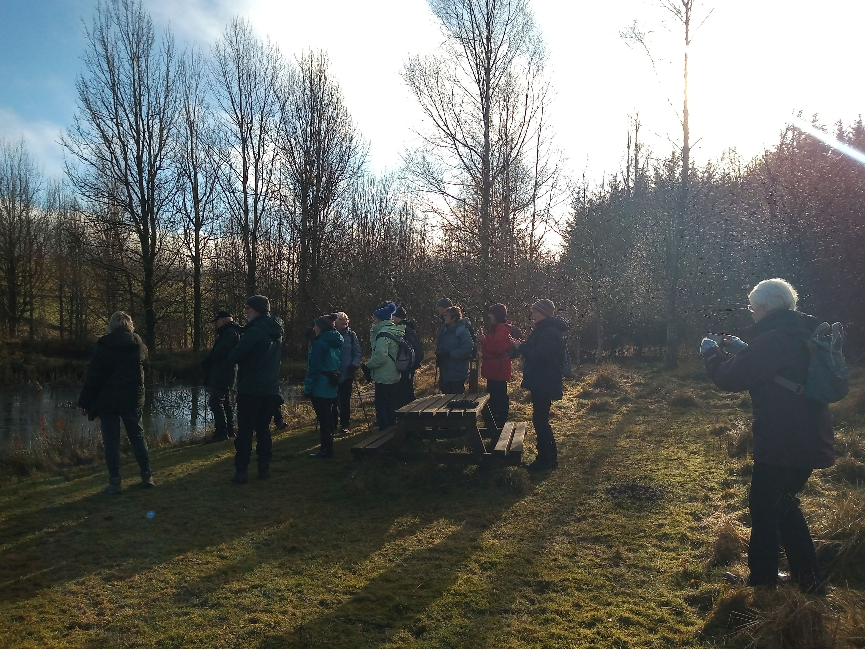
A group of 20 Biggar Ramblers went on a lovely, sunny woodland walk. There are several paths and trails around the woodland with a few benches to sit on and enjoy the stunning views. Some members sat on the Balfour Scott Memorial bench and appreciated the warmth of the sun.
Broughtonknowe Wood offers a huge variety of different plants and animals. The woodland is wonderfully peaceful and quiet. Bird songs could be heard and many birds were spotted near the ponds and feeding areas.
After the walk, the group enjoyed a delicious soup and cheese lunch. Well over £350 was raised in aid of the community buyout of the woodland.
Kaimes & Dalmahoy Hills Ramble - 2nd February
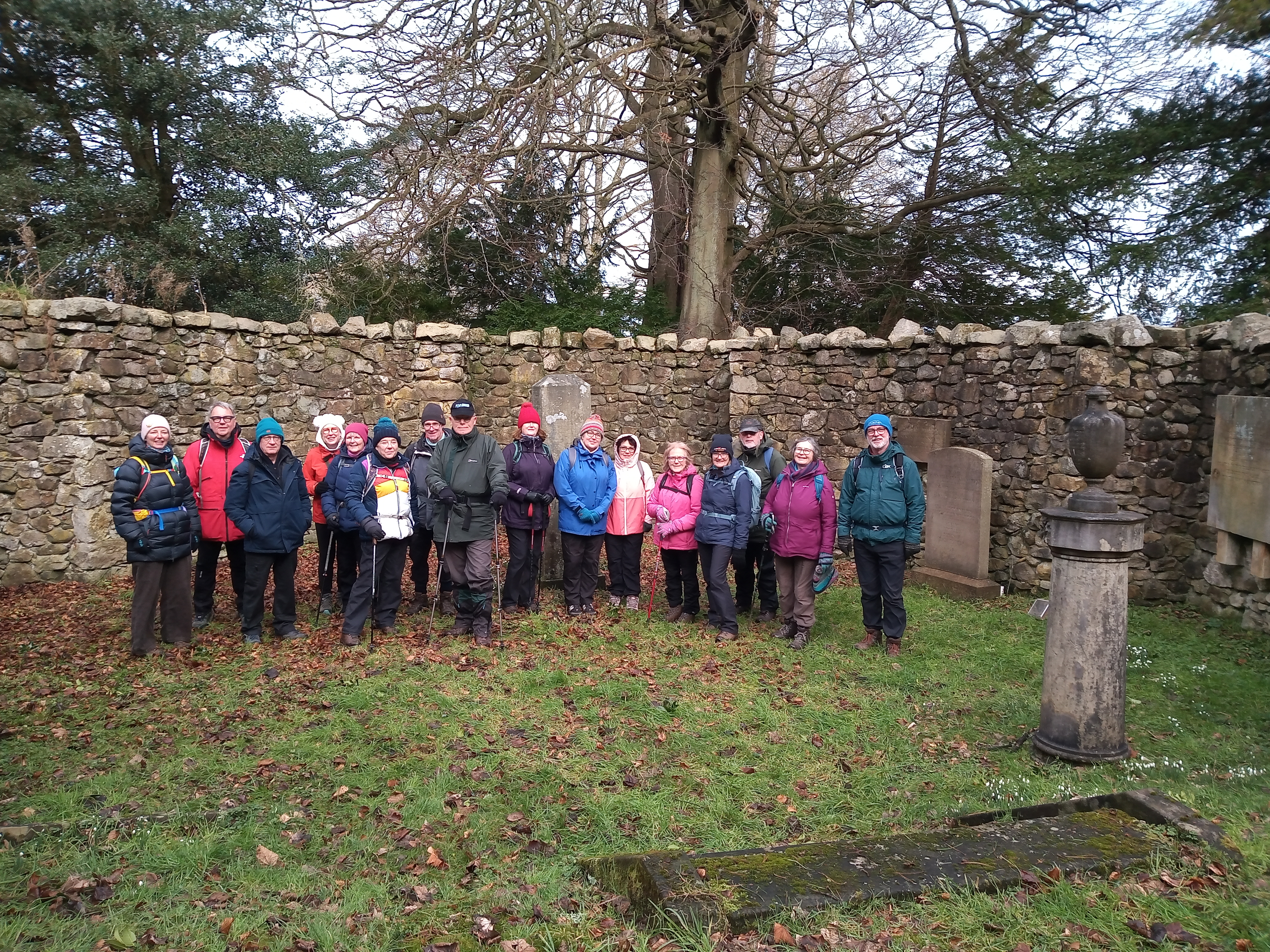
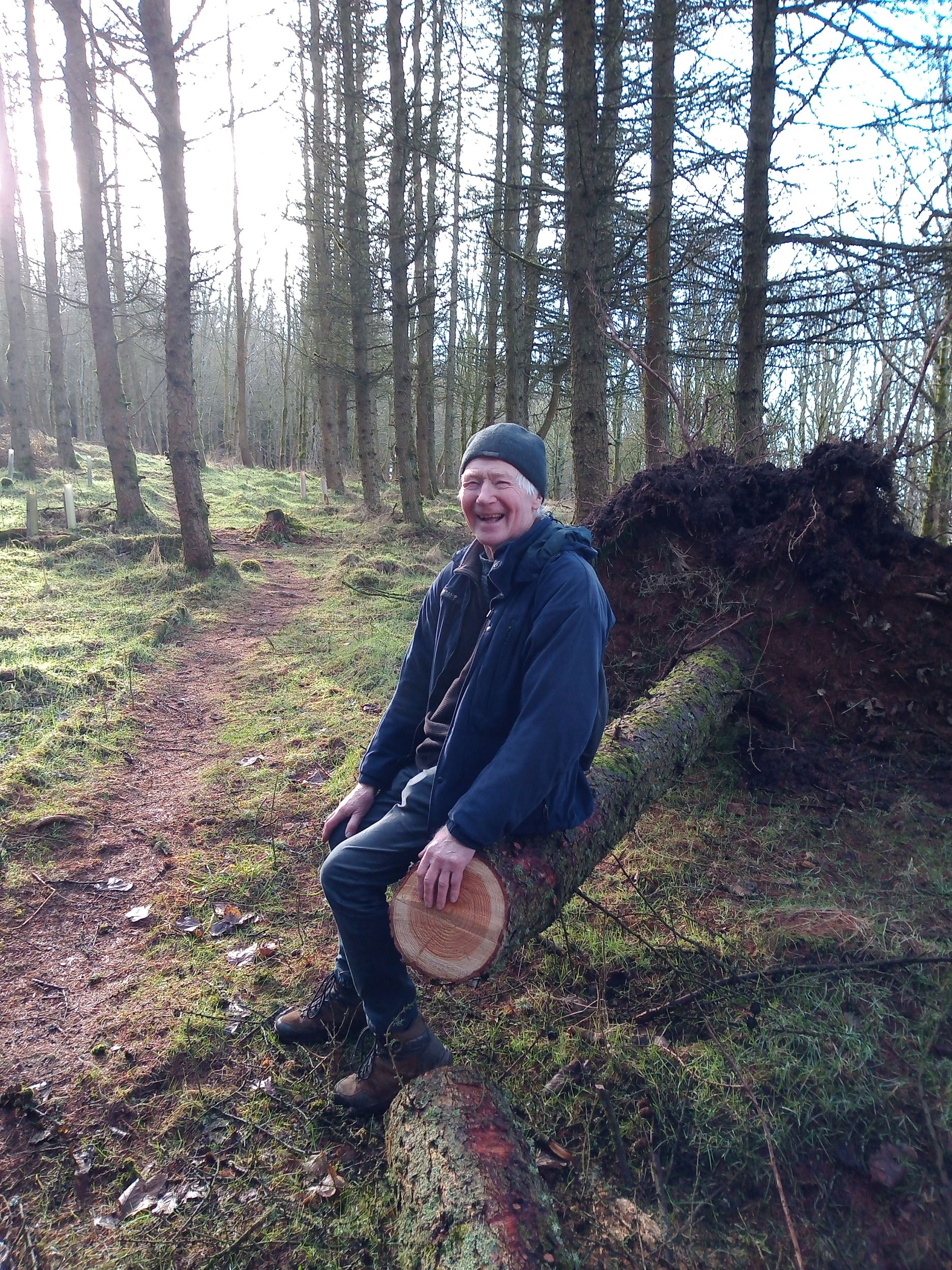
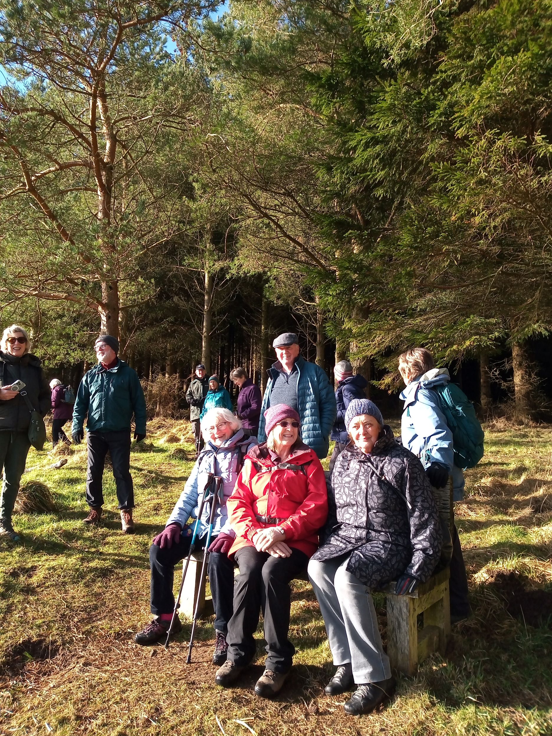
On a dry but breezy morning thirteen members of Biggar Ramblers were joined by four from the Balerno group for a walk from Kirknewton to explore Kaimes and Dalmahoy hills.
The walk started at Kirknewton Pavilion and on to the Kirknewton House estate and the Burial Ground Wood, resting place of generations of the Maconochies of Meadowbank. After hearing a little of the history of the Maconochies, the walk headed up into Kaimes wood where, as expected, the group found a considerable number of trees had fallen in the recent storm. After a refreshing coffee break, the path was taken up to Kaimes Hill, an impressive large igneous rocky outcrop.
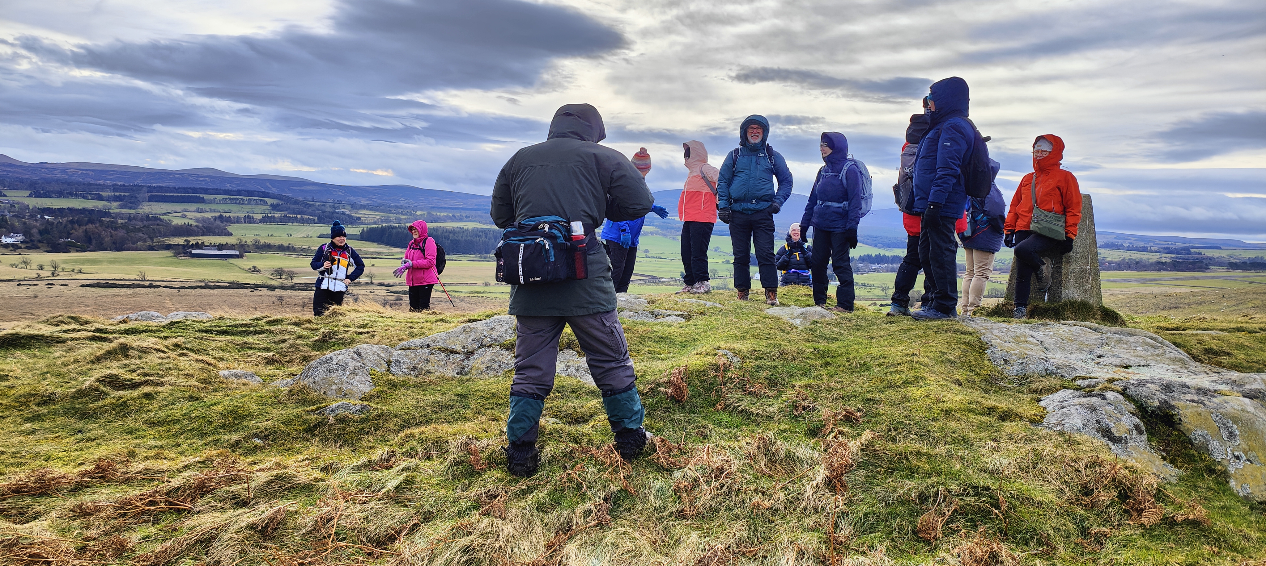
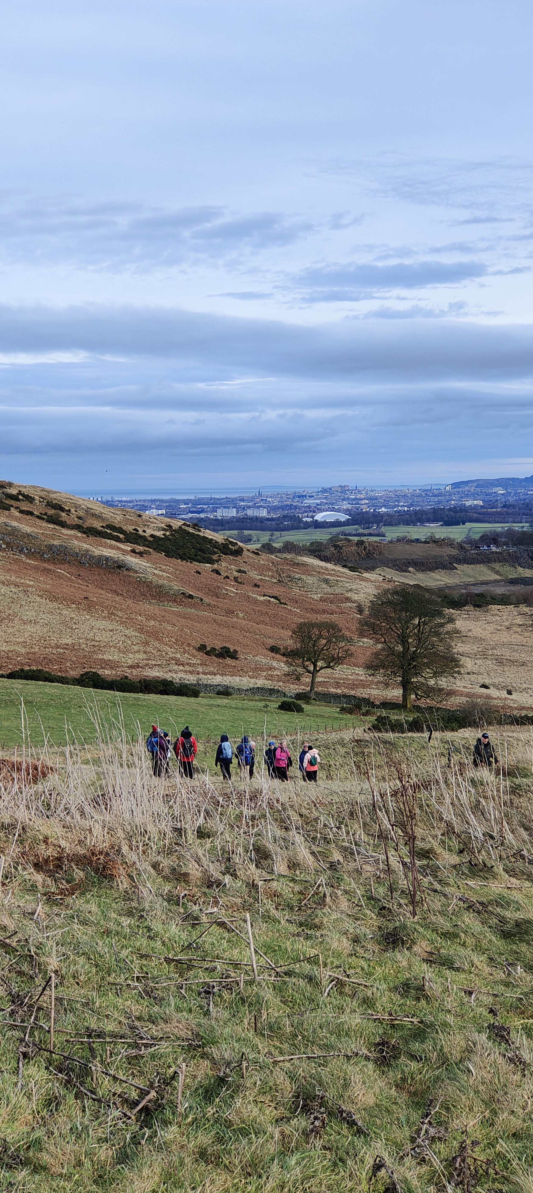
Kaimes Hill was the site of a 5,000-year-old fortified hill fort with ramparts and hut circles before it was extensively quarried in the 1940's and 60's. This hill and the nearby Dalmahoy hill afforded great views of the surrounding area, over to the bridges, Arthur's seat and the Pentlands (Berwick Law could even be seen in the distance).
After coming back down from the hills, a sheltered spot was found for lunch, after which it was a straightforward return along a track and across the estate, ending back at the pavilion.
New Lanark and the Falls of Clyde - 16th January
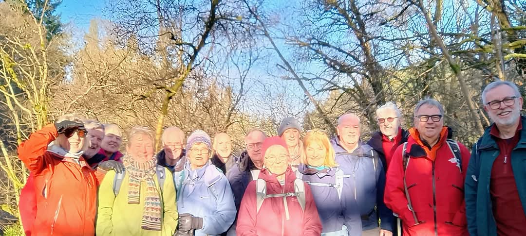
On Thursday 16th January a group of 15 Biggar Ramblers walked a lovely 7.5 mile woodland circuit incorporating The Falls of Clyde and historic New Lanark Village.
We set off from Wellgatehead Car Park in Lanark and followed road and woodland path to New Lanark. We then joined the Clyde Walkway past Dunstaff Linn, Cora Linn and Bonninngton Linn, before crossing the river. After a coffee stop we walked through the Corehouse Estate to Kirkfieldbank, and recrossed the river at historic Clydeholm Bridge where we stopped for lunch. It was a lovely bright day and we enjoyed great views of New Lanark and the Falls as we walked through the sheltered woodland. We completed walk by following Clyde walkway path to Castlebank Park and a short walk back to car park.
This was a beautiful winter walk with great views of historic New Lanark and the spectacular Falls of Clyde.